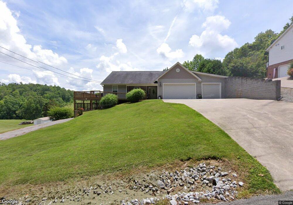
1569 Snodgrass Rd New Tazewell, TN 37825
Estimated Value: $214,000 - $251,725
3
Beds
2
Baths
1,850
Sq Ft
$129/Sq Ft
Est. Value
About This Home
This home is located at 1569 Snodgrass Rd, New Tazewell, TN 37825 and is currently estimated at $237,931, approximately $128 per square foot. 1569 Snodgrass Rd is a home located in Claiborne County with nearby schools including Heriage Christian Academy.
Ownership History
Date
Name
Owned For
Owner Type
Purchase Details
Closed on
May 18, 2010
Sold by
Howell Richard C
Bought by
Swain James
Current Estimated Value
Purchase Details
Closed on
Jun 16, 2006
Sold by
Keck Bill
Bought by
Howell Richard C
Home Financials for this Owner
Home Financials are based on the most recent Mortgage that was taken out on this home.
Original Mortgage
$240,000
Interest Rate
6.49%
Purchase Details
Closed on
Apr 3, 2006
Sold by
Drummonds Ruth
Bought by
Keck Bill
Purchase Details
Closed on
Jan 1, 1945
Bought by
Drummonds Ray and Drummonds Ruth
Create a Home Valuation Report for This Property
The Home Valuation Report is an in-depth analysis detailing your home's value as well as a comparison with similar homes in the area
Home Values in the Area
Average Home Value in this Area
Purchase History
| Date | Buyer | Sale Price | Title Company |
|---|---|---|---|
| Swain James | $105,001 | -- | |
| Howell Richard C | $120,000 | -- | |
| Keck Bill | $92,500 | -- | |
| Drummonds Ray | -- | -- |
Source: Public Records
Mortgage History
| Date | Status | Borrower | Loan Amount |
|---|---|---|---|
| Previous Owner | Drummonds Ray | $240,000 |
Source: Public Records
Tax History Compared to Growth
Tax History
| Year | Tax Paid | Tax Assessment Tax Assessment Total Assessment is a certain percentage of the fair market value that is determined by local assessors to be the total taxable value of land and additions on the property. | Land | Improvement |
|---|---|---|---|---|
| 2024 | $861 | $36,775 | $2,300 | $34,475 |
| 2023 | $861 | $36,775 | $2,300 | $34,475 |
| 2022 | $736 | $36,775 | $2,300 | $34,475 |
| 2021 | $699 | $27,125 | $1,825 | $25,300 |
| 2020 | $699 | $27,125 | $1,825 | $25,300 |
| 2019 | $699 | $27,125 | $1,825 | $25,300 |
| 2018 | $699 | $27,125 | $1,825 | $25,300 |
| 2017 | $699 | $27,125 | $1,825 | $25,300 |
| 2016 | $712 | $27,600 | $1,825 | $25,775 |
| 2015 | $684 | $27,600 | $1,825 | $25,775 |
| 2014 | $684 | $27,601 | $0 | $0 |
Source: Public Records
Map
Nearby Homes
- 1569 Snodgrass Rd
- 1565 Snodgrass Rd
- 1589 Snodgrass Rd
- 1541 Snodgrass Rd
- 1535 Snodgrass Rd
- 1505 Snodgrass Rd
- 1585 Snodgrass Rd
- 1694 Snodgrass Rd
- 926 Harmon Rd
- 1416 Snodgrass Rd
- 1416 Snodgrass Rd
- 0 Snodgrass Rd Unit 1252107
- 0 Snodgrass Rd Unit 1239316
- 0 Snodgrass Rd Unit 1217562
- 0 Snodgrass Rd Unit 625757
- 0 Snodgrass Rd Unit 625772
- 0 Snodgrass Rd Unit 625766
- 0 Snodgrass Rd Unit 625769
- 0 Snodgrass Rd Unit 636350
- 0 Snodgrass Rd Unit 637230