15694 210th St Hutchinson, MN 55350
Estimated Value: $285,000 - $482,224
3
Beds
2
Baths
1,144
Sq Ft
$336/Sq Ft
Est. Value
About This Home
This home is located at 15694 210th St, Hutchinson, MN 55350 and is currently estimated at $384,806, approximately $336 per square foot. 15694 210th St is a home located in McLeod County with nearby schools including Hutchinson West Elementary School, Hutchinson Park Elementary School, and Hutchinson Middle School.
Ownership History
Date
Name
Owned For
Owner Type
Purchase Details
Closed on
Nov 21, 2018
Sold by
Froemming Heidi Marie and Froemming Keith
Bought by
Provencher Joseph Alle
Current Estimated Value
Home Financials for this Owner
Home Financials are based on the most recent Mortgage that was taken out on this home.
Original Mortgage
$114,000
Outstanding Balance
$100,240
Interest Rate
4.8%
Mortgage Type
New Conventional
Estimated Equity
$284,566
Create a Home Valuation Report for This Property
The Home Valuation Report is an in-depth analysis detailing your home's value as well as a comparison with similar homes in the area
Home Values in the Area
Average Home Value in this Area
Purchase History
| Date | Buyer | Sale Price | Title Company |
|---|---|---|---|
| Provencher Joseph Alle | -- | Mcleod County Abstract & Tit |
Source: Public Records
Mortgage History
| Date | Status | Borrower | Loan Amount |
|---|---|---|---|
| Open | Provencher Joseph Alle | $114,000 |
Source: Public Records
Tax History Compared to Growth
Tax History
| Year | Tax Paid | Tax Assessment Tax Assessment Total Assessment is a certain percentage of the fair market value that is determined by local assessors to be the total taxable value of land and additions on the property. | Land | Improvement |
|---|---|---|---|---|
| 2024 | $4,946 | $452,300 | $133,200 | $319,100 |
| 2023 | $4,360 | $413,700 | $127,100 | $286,600 |
| 2022 | $3,786 | $371,400 | $115,400 | $256,000 |
| 2021 | $3,638 | $260,700 | $88,800 | $171,900 |
| 2020 | $3,480 | $260,700 | $88,800 | $171,900 |
| 2019 | $1,514 | $257,100 | $88,800 | $168,300 |
| 2018 | $1,824 | $0 | $0 | $0 |
| 2017 | $1,940 | $0 | $0 | $0 |
| 2016 | $1,990 | $0 | $0 | $0 |
| 2015 | $1,688 | $0 | $0 | $0 |
| 2014 | -- | $0 | $0 | $0 |
Source: Public Records
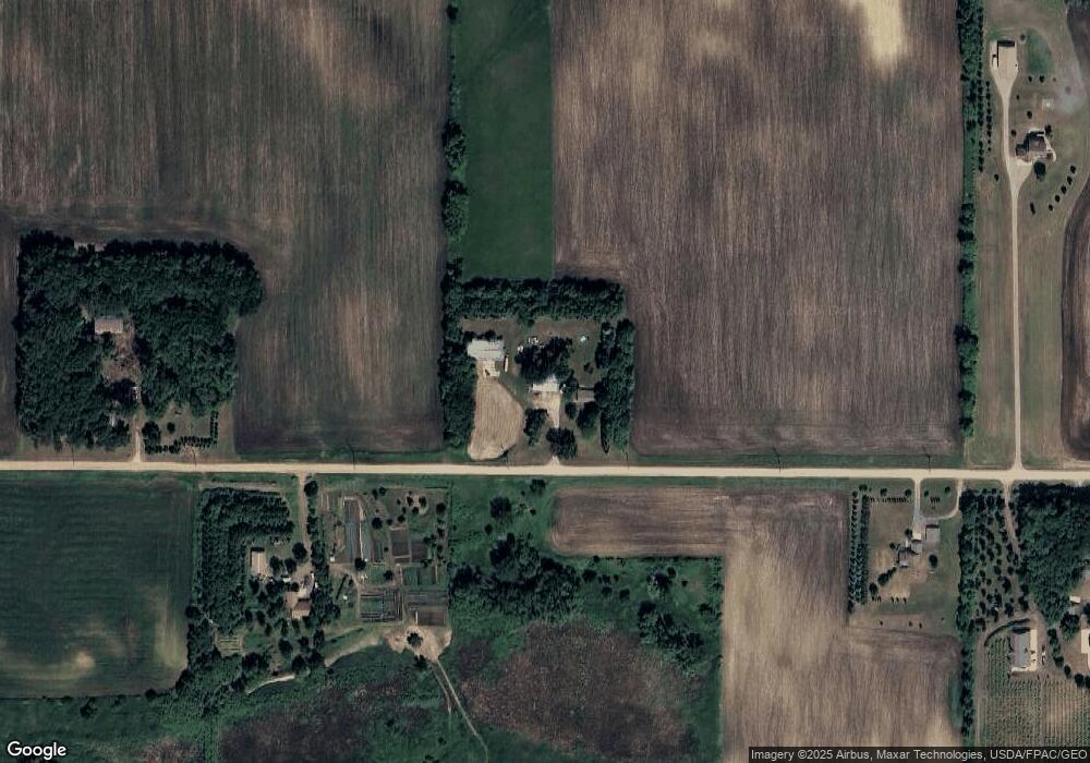
Map
Nearby Homes
- 16869 220th St
- 555 N High Dr NE
- 104 Mark Dr NE
- 664 Hilltop Dr NE
- 839 Hilltop Dr NE
- 505/515 Hilltop Canyon NE
- 648 Bluff St NE
- 321 Highway 7 E
- 236 10th Ave NE
- 245 10th Ave NE
- 205 10th Ave NE
- 255 10th Ave NE
- 216 10th Ave NE
- 215 10th Ave NE
- 225 10th Ave NE
- 1534 9th Ave SW
- 635 Hillcrest Rd NE
- 725 Maple St NE
- 584 Bluff St NE
- 727 Ash St NE
- 15694 210th St
- 15875 210th St
- 15497 210th St
- 15896 210th St
- 15896 210th St
- 15445 210th St
- 15476 210th St
- 20634 Oday Ave
- 21067 Nature Ave
- 21067 Nature Ave
- 20949 Nature Ave
- 20755 Nature Ave
- 14953 210th St
- 21323 Nature Ave
- 21323 Nature Ave
- 21323 Nature Ave
- 16318 210th St
- 20637 Nature Ave
- 20637 Nature Ave
- 20637 Nature Ave