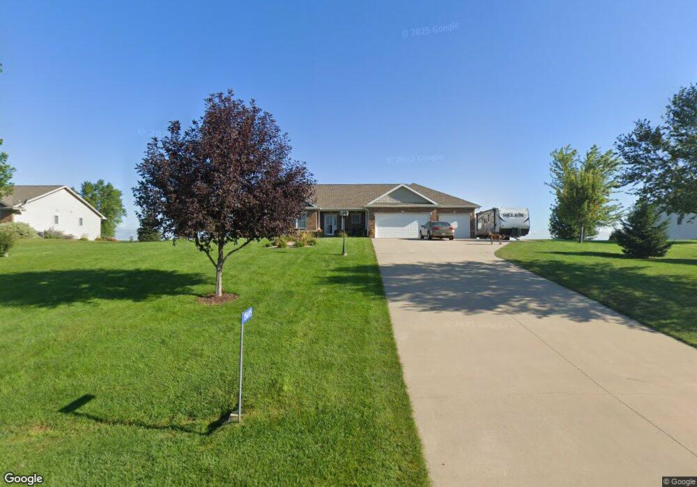
15695 Red Maple Dr Peosta, IA 52068
Estimated Value: $465,000 - $559,000
3
Beds
3
Baths
1,710
Sq Ft
$290/Sq Ft
Est. Value
About This Home
This home is located at 15695 Red Maple Dr, Peosta, IA 52068 and is currently estimated at $496,280, approximately $290 per square foot. 15695 Red Maple Dr is a home located in Dubuque County with nearby schools including Carver Elementary School, Eleanor Roosevelt Middle School, and Hempstead High School.
Ownership History
Date
Name
Owned For
Owner Type
Purchase Details
Closed on
Dec 15, 2011
Sold by
Leda Properties Ltd
Bought by
Kester Christian D and Kester Amy L
Current Estimated Value
Home Financials for this Owner
Home Financials are based on the most recent Mortgage that was taken out on this home.
Original Mortgage
$202,400
Outstanding Balance
$130,662
Interest Rate
2.87%
Mortgage Type
New Conventional
Estimated Equity
$365,618
Create a Home Valuation Report for This Property
The Home Valuation Report is an in-depth analysis detailing your home's value as well as a comparison with similar homes in the area
Home Values in the Area
Average Home Value in this Area
Purchase History
| Date | Buyer | Sale Price | Title Company |
|---|---|---|---|
| Kester Christian D | $253,000 | None Available |
Source: Public Records
Mortgage History
| Date | Status | Borrower | Loan Amount |
|---|---|---|---|
| Open | Kester Christian D | $202,400 |
Source: Public Records
Tax History Compared to Growth
Tax History
| Year | Tax Paid | Tax Assessment Tax Assessment Total Assessment is a certain percentage of the fair market value that is determined by local assessors to be the total taxable value of land and additions on the property. | Land | Improvement |
|---|---|---|---|---|
| 2025 | $4,662 | $423,400 | $73,700 | $349,700 |
| 2024 | $4,662 | $408,800 | $70,200 | $338,600 |
| 2023 | $4,504 | $408,800 | $70,200 | $338,600 |
| 2022 | $4,412 | $333,120 | $65,000 | $268,120 |
| 2021 | $4,412 | $333,120 | $65,000 | $268,120 |
| 2020 | $4,596 | $323,550 | $62,000 | $261,550 |
| 2019 | $4,526 | $323,550 | $62,000 | $261,550 |
| 2018 | $3,900 | $306,820 | $48,000 | $258,820 |
| 2017 | $3,704 | $272,320 | $48,000 | $224,320 |
| 2016 | $3,704 | $246,460 | $40,000 | $206,460 |
| 2015 | $3,602 | $246,460 | $40,000 | $206,460 |
| 2014 | $3,248 | $230,740 | $37,500 | $193,240 |
Source: Public Records
Map
Nearby Homes
- 10869 Cedar Ridge Ct
- 10640 Eagle Ridge Ct
- Lot 3 Thunder Hills Dr
- Lot 2 Thunder Hills Dr
- Lot 1 Thunder Hills Dr
- 10867 Golden Oaks Dr
- Lot 93 Tagan Dr
- Lot 1 Forest Ridge Dr
- Lot 68 Hugo Dr
- Lot 18 Ione Dr
- 277 Wyatt Dr
- 326 Solomia Ct
- 348 Solomia Ct
- 310 Solomia Ct
- 419 Angela Jean Cir
- lot 23 Thunder Valley Dr
- Lot 2 Thunder Valley Dr
- Lot 22 Thunder Valley Dr
- 7630 Kaia Dr
- TBD2 S Boulder Brook Ct
- 15733 Red Maple Dr
- 15661 Red Maple Dr
- Lot 104 Red Maple
- 0 Red Maple Dr Unit 115328
- 0 Red Maple Dr Unit 117093
- 15645 Red Maple Dr
- 15761 Red Maple Dr
- 10538 Cypress Dr
- 15672 White Oak Dr
- 15650 White Oak Dr
- 10537 Black Walnut Ct
- 15720 White Oak Dr
- 15613 Red Maple Dr
- 15754 Red Maple Dr
- 15750 White Oak Dr
- 10504 Cypress Dr
- 15618 White Oak Dr
- 15699 White Oak Dr
- 15574 White Oak Dr
- 10497 Black Walnut Ct