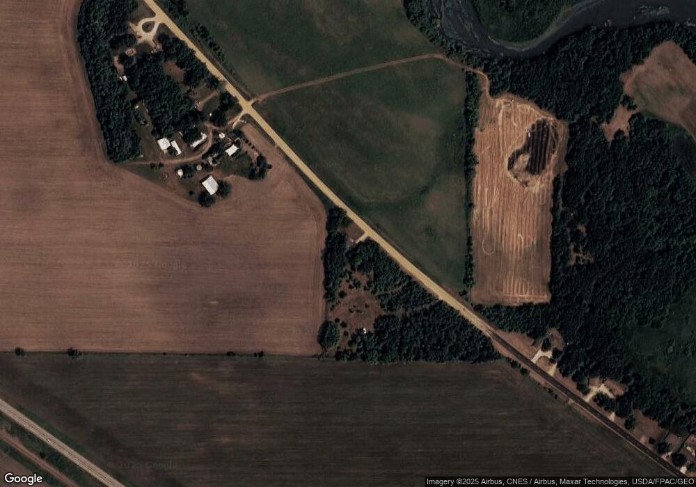
15697 785th Ave Albert Lea, MN 56007
Estimated Value: $124,928 - $171,000
3
Beds
1
Bath
1,103
Sq Ft
$126/Sq Ft
Est. Value
About This Home
This home is located at 15697 785th Ave, Albert Lea, MN 56007 and is currently estimated at $139,232, approximately $126 per square foot. 15697 785th Ave is a home located in Freeborn County with nearby schools including Glenville Emmons Elementary School and Glenville-Emmons Secondary School.
Ownership History
Date
Name
Owned For
Owner Type
Purchase Details
Closed on
Oct 29, 2019
Sold by
Fredrickson David David
Bought by
Hogstad Nathan Nathan
Current Estimated Value
Home Financials for this Owner
Home Financials are based on the most recent Mortgage that was taken out on this home.
Original Mortgage
$75,850
Outstanding Balance
$66,926
Interest Rate
3.75%
Estimated Equity
$72,306
Create a Home Valuation Report for This Property
The Home Valuation Report is an in-depth analysis detailing your home's value as well as a comparison with similar homes in the area
Home Values in the Area
Average Home Value in this Area
Purchase History
| Date | Buyer | Sale Price | Title Company |
|---|---|---|---|
| Hogstad Nathan Nathan | $77,300 | -- |
Source: Public Records
Mortgage History
| Date | Status | Borrower | Loan Amount |
|---|---|---|---|
| Open | Hogstad Nathan Nathan | $75,850 | |
| Closed | Hogstad Nathan Nathan | -- |
Source: Public Records
Tax History Compared to Growth
Tax History
| Year | Tax Paid | Tax Assessment Tax Assessment Total Assessment is a certain percentage of the fair market value that is determined by local assessors to be the total taxable value of land and additions on the property. | Land | Improvement |
|---|---|---|---|---|
| 2025 | $880 | $109,500 | $30,000 | $79,500 |
| 2024 | $952 | $89,900 | $30,000 | $59,900 |
| 2023 | $784 | $86,400 | $30,000 | $56,400 |
| 2022 | $834 | $74,900 | $21,000 | $53,900 |
| 2021 | $750 | $70,100 | $21,000 | $49,100 |
| 2020 | $730 | $58,100 | $15,000 | $43,100 |
| 2019 | $638 | $58,100 | $15,000 | $43,100 |
| 2018 | $518 | $0 | $0 | $0 |
| 2016 | $460 | $0 | $0 | $0 |
| 2015 | $448 | $0 | $0 | $0 |
| 2014 | $484 | $0 | $0 | $0 |
| 2012 | $688 | $0 | $0 | $0 |
Source: Public Records
Map
Nearby Homes
- 471 1st Ave SW
- 15913 810th Ave
- 2216 Eunice Dr
- 1104 E 18 1/2 St
- 1617 S Shore Dr
- 801 E 18 1 2 St Unit Lot 90
- 2405 Ethel Ave Unit Lot 98
- 401 Noland Ave
- 1425 Frank Ave
- 1502 Edina Ave
- 10741 797th Ave
- 621 E 7th St
- 1224 Saint Joseph Ave
- 1212 Saint Joseph Ave
- 1117 Frank Ave
- 78665 County Road 46
- 1007 Frank Ave
- 509 E 4th St
- 1219 S Newton Ave
- 1126 S Newton Ave
- 600 3rd Ave NW
- 500 3rd Ave NW
- 15903 785th Ave
- 488 3rd Ave NW
- 484 3rd Ave NW
- 476 3rd Ave NW
- 460 3rd Ave NW
- 16172 785th Ave
- 15833 785th Ave
- 450 3rd Ave NW
- 421 3rd Ave NW
- 421 421 3rd-Avenue-nw
- 440 3rd Ave NW
- 15777 795th Ave
- 411 3rd Ave NW
- 430 3rd Ave NW
- 15667 795th Ave
- 410 3rd Ave NW
- 371 3rd Ave NW
- 360 3rd Ave NW
