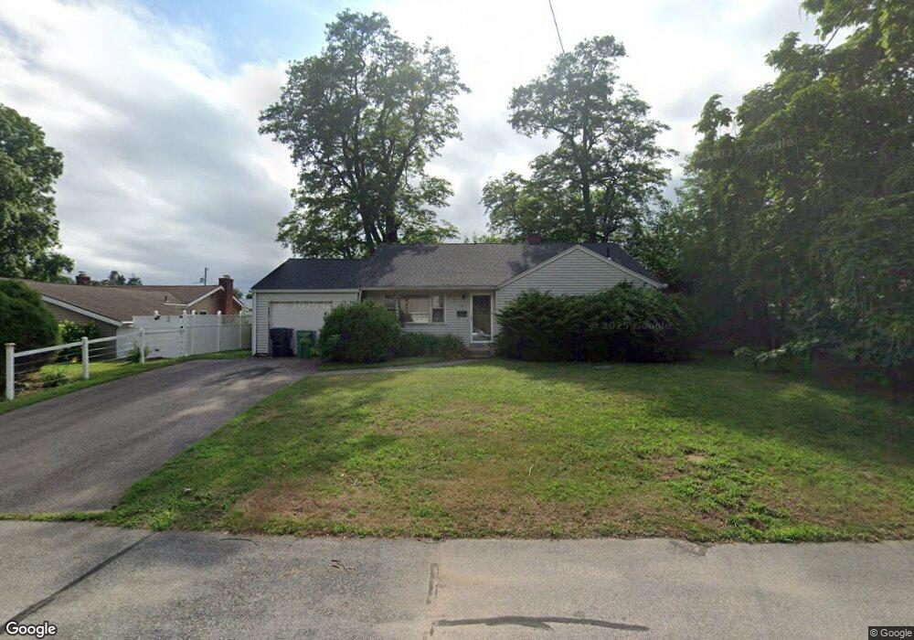
157 Aspinet Dr Warwick, RI 02888
Palace Garden NeighborhoodEstimated Value: $432,000 - $504,000
3
Beds
2
Baths
1,044
Sq Ft
$439/Sq Ft
Est. Value
About This Home
This home is located at 157 Aspinet Dr, Warwick, RI 02888 and is currently estimated at $458,237, approximately $438 per square foot. 157 Aspinet Dr is a home located in Kent County with nearby schools including St. Peter School and Saint Paul School.
Ownership History
Date
Name
Owned For
Owner Type
Purchase Details
Closed on
Jan 14, 2016
Sold by
Tougas Richard F Est and Warwick City Of
Bought by
Tougas Richard F Est and Tougas
Current Estimated Value
Purchase Details
Closed on
Jul 23, 2010
Sold by
Tougas Rebecca J
Bought by
Rhode Island Hsng
Purchase Details
Closed on
May 11, 1998
Sold by
Tougas Joan F Est and Tougas
Bought by
Tougas Rebecca J
Create a Home Valuation Report for This Property
The Home Valuation Report is an in-depth analysis detailing your home's value as well as a comparison with similar homes in the area
Home Values in the Area
Average Home Value in this Area
Purchase History
| Date | Buyer | Sale Price | Title Company |
|---|---|---|---|
| Tougas Richard F Est | -- | -- | |
| Rhode Island Hsng | $3,694 | -- | |
| Tougas Rebecca J | $92,000 | -- |
Source: Public Records
Tax History Compared to Growth
Tax History
| Year | Tax Paid | Tax Assessment Tax Assessment Total Assessment is a certain percentage of the fair market value that is determined by local assessors to be the total taxable value of land and additions on the property. | Land | Improvement |
|---|---|---|---|---|
| 2025 | $4,995 | $393,300 | $172,900 | $220,400 |
| 2024 | $4,837 | $334,300 | $150,300 | $184,000 |
| 2023 | $4,744 | $334,300 | $150,300 | $184,000 |
| 2022 | $4,514 | $241,000 | $106,900 | $134,100 |
| 2021 | $4,514 | $241,000 | $106,900 | $134,100 |
| 2020 | $4,514 | $241,000 | $106,900 | $134,100 |
| 2019 | $4,514 | $241,000 | $106,900 | $134,100 |
| 2018 | $4,191 | $201,500 | $99,300 | $102,200 |
| 2017 | $4,078 | $201,500 | $99,300 | $102,200 |
| 2016 | $4,078 | $201,500 | $99,300 | $102,200 |
| 2015 | $3,324 | $160,200 | $83,000 | $77,200 |
| 2014 | $3,214 | $160,200 | $83,000 | $77,200 |
| 2013 | $3,170 | $160,200 | $83,000 | $77,200 |
Source: Public Records
Map
Nearby Homes
- 375 Namquid Dr
- 48 Lane 2
- 68 Lane 5
- 179 Lane 4
- 165 Merrymount Dr
- 32 Country Club Dr
- 922 Narragansett Pkwy
- 41 Drake Rd
- 6 Black Creek Ln
- 117 Spring Green Rd
- 161 N Country Club Dr
- 12 Stanford St
- 10 Rogers Rd
- 400 Narragansett Pkwy Unit WA11
- 600 Cole Farm Rd
- 55 Longwood Ave
- 400 Cole Farm Rd
- 56 Errol St
- 73 Eton Ave
- 23 Stoddard Place