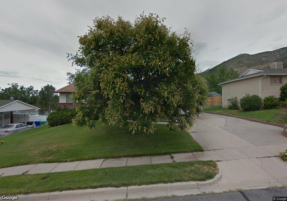
157 E 1250 N Centerville, UT 84014
Estimated Value: $459,000 - $546,000
5
Beds
2
Baths
1,134
Sq Ft
$450/Sq Ft
Est. Value
About This Home
This home is located at 157 E 1250 N, Centerville, UT 84014 and is currently estimated at $510,105, approximately $449 per square foot. 157 E 1250 N is a home located in Davis County with nearby schools including Stewart Elementary School, Centerville Jr High, and Viewmont High School.
Ownership History
Date
Name
Owned For
Owner Type
Purchase Details
Closed on
Sep 29, 2003
Sold by
Wright Robert and Wright Linda
Bought by
Edwards Leann F
Current Estimated Value
Home Financials for this Owner
Home Financials are based on the most recent Mortgage that was taken out on this home.
Original Mortgage
$147,682
Outstanding Balance
$68,180
Interest Rate
6.17%
Mortgage Type
FHA
Estimated Equity
$441,925
Create a Home Valuation Report for This Property
The Home Valuation Report is an in-depth analysis detailing your home's value as well as a comparison with similar homes in the area
Purchase History
| Date | Buyer | Sale Price | Title Company |
|---|---|---|---|
| Edwards Leann F | -- | Aspen Title Insurance Agency |
Source: Public Records
Mortgage History
| Date | Status | Borrower | Loan Amount |
|---|---|---|---|
| Open | Edwards Leann F | $147,682 |
Source: Public Records
Tax History
| Year | Tax Paid | Tax Assessment Tax Assessment Total Assessment is a certain percentage of the fair market value that is determined by local assessors to be the total taxable value of land and additions on the property. | Land | Improvement |
|---|---|---|---|---|
| 2025 | $2,616 | $250,250 | $162,074 | $88,176 |
| 2024 | $2,572 | $250,250 | $145,372 | $104,878 |
| 2023 | $2,406 | $423,000 | $238,855 | $184,145 |
| 2022 | $2,534 | $245,300 | $120,528 | $124,772 |
| 2021 | $2,261 | $341,000 | $183,448 | $157,552 |
| 2020 | $1,950 | $294,000 | $179,462 | $114,538 |
| 2019 | $1,970 | $290,000 | $180,864 | $109,136 |
| 2018 | $1,815 | $264,000 | $167,879 | $96,121 |
| 2016 | $1,538 | $124,300 | $55,738 | $68,562 |
| 2015 | $1,498 | $114,235 | $55,738 | $58,497 |
| 2014 | $1,432 | $111,773 | $55,738 | $56,035 |
| 2013 | -- | $114,371 | $44,204 | $70,167 |
Source: Public Records
Map
Nearby Homes
- 1366 Cottonwood Dr
- 1290 Oakridge Dr
- 984 N 500 E
- 145 Ford Canyon Dr
- 290 W 1350 N
- 66 Brookside Ln
- 775 Pheasantbrook Cir
- 371 W 1125 N
- 271 Brookfield Ln
- 1238 N 450 W
- 781 Pheasantbrook Dr
- 292 W 680 N
- 563 N 220 E
- 1549 N 400 W
- 281 W 650 N Unit B
- 303 W 650 N Unit I
- 282 W 605 N Unit A
- 282 W 605 N Unit I
- 732 W 1175 N
- 1171 N 725 W
- 173 E 1250 N
- 139 E 1250 N
- 138 Casa Loma Dr
- 154 Casa Loma Dr
- 1262 N Deerfield Dr
- 1262 Deerfield Dr
- 164 E 1250 N
- 148 E 1250 N
- 189 E 1250 N
- 186 Casa Loma Dr
- 182 E 1250 N
- 1251 N Deerfield Dr
- 1251 Deerfield Dr
- 1247 Deerfield Dr
- 198 E 1250 N
- 203 E 1250 N
- 1253 N Deerfield Dr
- 1253 Deerfield Dr
- 147 Casa Loma Dr
- 161 E 1200 N
Your Personal Tour Guide
Ask me questions while you tour the home.