157 Foreside Rd Falmouth, ME 04105
Estimated Value: $2,788,000 - $10,659,889
6
Beds
8
Baths
9,414
Sq Ft
$714/Sq Ft
Est. Value
About This Home
This home is located at 157 Foreside Rd, Falmouth, ME 04105 and is currently estimated at $6,723,945, approximately $714 per square foot. 157 Foreside Rd is a home located in Cumberland County with nearby schools including Falmouth Middle School, Falmouth High School, and Friends School Of Portland.
Ownership History
Date
Name
Owned For
Owner Type
Purchase Details
Closed on
Aug 27, 2021
Sold by
157 Foreside Road Nt and Hopkinson
Bought by
Jeremiah S Burns Jr Lt and Burns
Current Estimated Value
Purchase Details
Closed on
Jul 2, 2021
Sold by
Kraft Peter R and Kraft Prudence R
Bought by
Skye Realty Llc
Purchase Details
Closed on
May 28, 2010
Sold by
Miele R P R and Miele Victoria E
Bought by
157 Foreside Road Nt and Hopkinson
Create a Home Valuation Report for This Property
The Home Valuation Report is an in-depth analysis detailing your home's value as well as a comparison with similar homes in the area
Home Values in the Area
Average Home Value in this Area
Purchase History
| Date | Buyer | Sale Price | Title Company |
|---|---|---|---|
| Jeremiah S Burns Jr Lt | -- | None Available | |
| Skye Realty Llc | -- | None Available | |
| 157 Foreside Road Nt | -- | -- |
Source: Public Records
Mortgage History
| Date | Status | Borrower | Loan Amount |
|---|---|---|---|
| Previous Owner | 157 Foreside Road Nt | $1,100,000 |
Source: Public Records
Tax History Compared to Growth
Tax History
| Year | Tax Paid | Tax Assessment Tax Assessment Total Assessment is a certain percentage of the fair market value that is determined by local assessors to be the total taxable value of land and additions on the property. | Land | Improvement |
|---|---|---|---|---|
| 2024 | $105,287 | $7,869,000 | $4,766,100 | $3,102,900 |
| 2023 | $98,908 | $7,825,000 | $4,766,100 | $3,058,900 |
| 2022 | $93,068 | $7,807,700 | $4,804,600 | $3,003,100 |
| 2021 | $78,899 | $4,526,600 | $3,088,400 | $1,438,200 |
| 2020 | $6,555 | $4,526,600 | $3,088,400 | $1,438,200 |
| 2019 | $6,555 | $4,526,600 | $3,088,400 | $1,438,200 |
| 2018 | $6,555 | $4,526,600 | $3,088,400 | $1,438,200 |
| 2017 | $8,878 | $4,526,600 | $3,088,400 | $1,438,200 |
| 2016 | $68,306 | $4,526,600 | $3,088,400 | $1,438,200 |
| 2015 | $65,234 | $4,458,900 | $3,088,400 | $1,370,500 |
| 2014 | $62,870 | $4,458,900 | $3,088,400 | $1,370,500 |
| 2012 | -- | $4,458,900 | $3,088,400 | $1,370,500 |
Source: Public Records
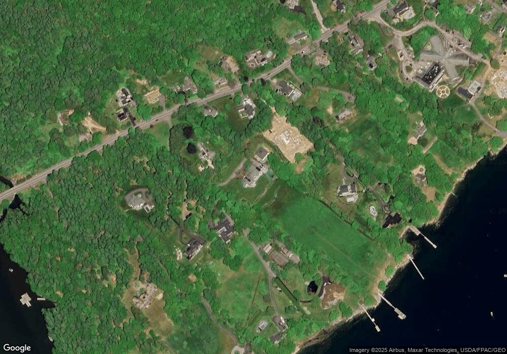
Map
Nearby Homes
- 109 Foreside Rd
- 267 U S Route 1 Unit 201
- 267 U S Route 1 Unit PH505
- 267 U S Route 1 Unit 404
- 267 U S Route 1 Unit 406
- 267 U S Route 1 Unit 405
- 267 U S Route 1 Unit 306
- 267 U S Route 1 Unit 305
- 267 U S Route 1 Unit 307
- 263 Foreside Rd
- 57 Foreside Rd
- 2 Valley Ave
- 30 Seaside Way Unit Lot 3
- 24 Amerescoggin Rd
- 62 Waites Landing Rd
- 53 Waites Landing Rd
- 59 Underwood Rd
- 24 Lunt Rd
- 75 Clearwater Dr Unit 305
- 27 Colonial Village
- 157 Foreside Rd
- 171 Foreside Rd
- 159 Foreside Rd
- 155 Foreside Rd
- 169 Foreside Rd
- 163 Foreside Rd
- 173 Foreside Rd
- 147 Foreside Rd
- 149 Foreside Rd
- 149 Foreside Rd Unit Parcel B
- 172 Foreside Rd
- 177 Foreside Rd
- 177 Foreside Rd
- 177 Foreside Rd
- 176 Foreside Rd
- 164 Foreside Rd
- 158 Foreside Rd
- 156 Foreside Rd
- 179 Foreside Rd
- 175 Foreside Rd