Estimated Value: $188,000 - $235,000
3
Beds
1
Bath
1,821
Sq Ft
$115/Sq Ft
Est. Value
About This Home
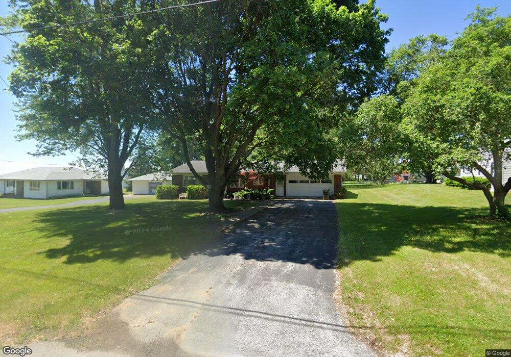
This home is located at 157 Maple St, Wayne, OH 43466 and is currently estimated at $209,282, approximately $114 per square foot. 157 Maple St is a home located in Wood County with nearby schools including Elmwood Elementary School, Elmwood Middle School, and Elmwood High School.
Ownership History
Date
Name
Owned For
Owner Type
Purchase Details
Closed on
Jun 21, 2019
Sold by
Estate Of Mark S Burns
Bought by
Webb Jennifer L and Burris Mark S
Current Estimated Value
Purchase Details
Closed on
Nov 18, 2014
Sold by
Burns Marshal J
Bought by
Burns Mark Steven and Burns Matthew L
Purchase Details
Closed on
Aug 19, 2013
Sold by
Burns Marshal J
Bought by
Burns Matthew L and Burns Mark S
Purchase Details
Closed on
Oct 13, 1998
Sold by
Estate Of Janice M Burns
Bought by
Burns Norman D and Burns Mark S
Purchase Details
Closed on
Jan 1, 1990
Bought by
Burns Norman D
Create a Home Valuation Report for This Property
The Home Valuation Report is an in-depth analysis detailing your home's value as well as a comparison with similar homes in the area
Purchase History
| Date | Buyer | Sale Price | Title Company |
|---|---|---|---|
| Webb Jennifer L | -- | None Available | |
| Burns Mark Steven | -- | Portage Valley Title | |
| Burns Matthew L | -- | Portgae Valley Title | |
| Burns Norman D | -- | -- | |
| Burns Norman D | -- | -- |
Source: Public Records
Tax History
| Year | Tax Paid | Tax Assessment Tax Assessment Total Assessment is a certain percentage of the fair market value that is determined by local assessors to be the total taxable value of land and additions on the property. | Land | Improvement |
|---|---|---|---|---|
| 2025 | $2,703 | $54,635 | $7,455 | $47,180 |
| 2024 | $2,607 | $54,635 | $7,455 | $47,180 |
| 2023 | $2,682 | $54,640 | $7,460 | $47,180 |
| 2021 | $2,498 | $44,280 | $7,320 | $36,960 |
| 2020 | $2,512 | $44,280 | $7,320 | $36,960 |
| 2019 | $1,801 | $40,610 | $7,320 | $33,290 |
| 2018 | $1,782 | $40,610 | $7,320 | $33,290 |
| 2017 | $1,569 | $40,610 | $7,320 | $33,290 |
| 2016 | $1,471 | $39,420 | $7,320 | $32,100 |
| 2015 | $1,471 | $39,420 | $7,320 | $32,100 |
| 2014 | $1,541 | $39,420 | $7,320 | $32,100 |
| 2013 | $1,587 | $39,420 | $7,320 | $32,100 |
Source: Public Records
Map
Nearby Homes
- 9943 Wayne Rd
- 145 W Bryant St
- 145 W Strong St
- 117 Maple St
- 217 N East St
- 1897 Bays Rd
- 7563 County Road 21
- 119 E Main St
- 13527 McCutcheonville Rd
- 6540 County Road 1
- 6480 County Road 1
- 7430 County Road 67
- 210 Union St
- 550 Jerry St
- 12345 Grove Rd
- 433 Water St
- 455 Linden (Lot 42) Dr
- 123 Catalpa (Lot 21) Ct
- 428 Linden Drive (Lot 9)
- 432 Linden St
Your Personal Tour Guide
Ask me questions while you tour the home.