157 Maquoit Dr Freeport, ME 04032
Estimated Value: $508,262 - $938,000
2
Beds
1
Bath
1,073
Sq Ft
$688/Sq Ft
Est. Value
About This Home
This home is located at 157 Maquoit Dr, Freeport, ME 04032 and is currently estimated at $737,816, approximately $687 per square foot. 157 Maquoit Dr is a home with nearby schools including Morse Street School, Mast Landing School, and Freeport Middle School.
Create a Home Valuation Report for This Property
The Home Valuation Report is an in-depth analysis detailing your home's value as well as a comparison with similar homes in the area
Home Values in the Area
Average Home Value in this Area
Tax History
| Year | Tax Paid | Tax Assessment Tax Assessment Total Assessment is a certain percentage of the fair market value that is determined by local assessors to be the total taxable value of land and additions on the property. | Land | Improvement |
|---|---|---|---|---|
| 2025 | $4,672 | $337,300 | $265,100 | $72,200 |
| 2024 | $4,335 | $324,700 | $252,500 | $72,200 |
| 2023 | $4,030 | $293,100 | $229,500 | $63,600 |
| 2022 | $3,649 | $267,300 | $207,300 | $60,000 |
| 2021 | $3,649 | $273,300 | $213,300 | $60,000 |
| 2020 | $3,532 | $252,300 | $197,600 | $54,700 |
| 2019 | $3,398 | $237,600 | $186,500 | $51,100 |
| 2018 | $3,397 | $225,700 | $174,000 | $51,700 |
| 2017 | $3,280 | $219,400 | $170,000 | $49,400 |
| 2016 | $3,141 | $198,800 | $152,800 | $46,000 |
| 2015 | $3,167 | $188,500 | $144,600 | $43,900 |
| 2014 | $3,034 | $192,000 | $144,600 | $47,400 |
| 2013 | $2,999 | $189,200 | $141,300 | $47,900 |
Source: Public Records
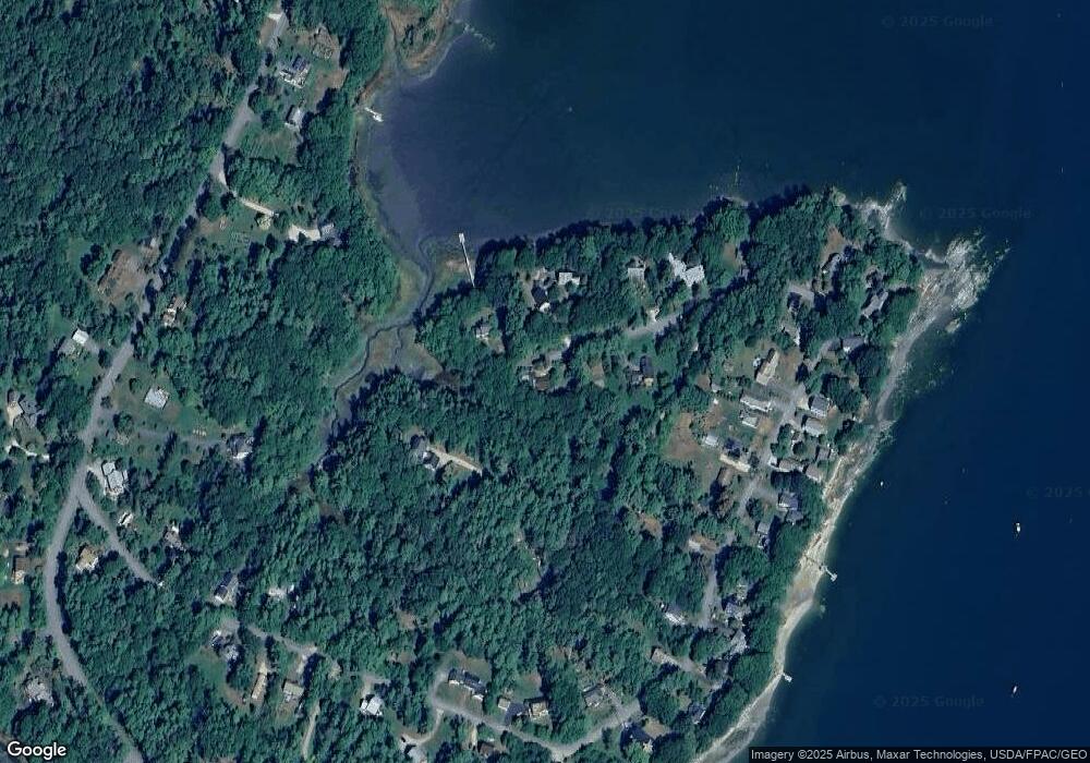
Map
Nearby Homes
- 70 Maquoit Dr
- 10 Lower Flying Point Rd
- 71 Merganser Way
- 52 Birch Point Rd
- 83 Central Ave
- 29 S Freeport Rd
- 46 Blackstone Club Rd
- 7 Shearwater Way
- 26 Harvest Ridge Rd Unit 24
- 20 Harvest Ridge Rd Unit 23
- 11 Orchard Hill Rd
- 853 Mere Point Rd
- Map 80 Lot 18-0 White Island
- 15 Linwood Rd Unit 15
- 15 Tinkers Way
- 39 Hunter Rd
- 10 Durham Rd
- 10 Prout Rd
- 1260 Us Route 1
- 42 Durham Rd
Your Personal Tour Guide
Ask me questions while you tour the home.