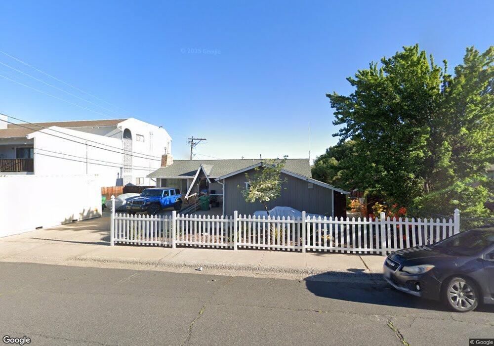
1570 Carlin St Reno, NV 89503
Kings Row NeighborhoodEstimated Value: $512,000 - $612,000
5
Beds
3
Baths
1,320
Sq Ft
$417/Sq Ft
Est. Value
About This Home
This home is located at 1570 Carlin St, Reno, NV 89503 and is currently estimated at $550,367, approximately $416 per square foot. 1570 Carlin St is a home located in Washoe County with nearby schools including Elmcrest Elementary School, Archie Clayton Pre-AP Academy, and Reno High School.
Create a Home Valuation Report for This Property
The Home Valuation Report is an in-depth analysis detailing your home's value as well as a comparison with similar homes in the area
Home Values in the Area
Average Home Value in this Area
Tax History
| Year | Tax Paid | Tax Assessment Tax Assessment Total Assessment is a certain percentage of the fair market value that is determined by local assessors to be the total taxable value of land and additions on the property. | Land | Improvement |
|---|---|---|---|---|
| 2026 | -- | $68,755 | $40,285 | $28,470 |
| 2025 | $1,152 | $68,089 | $39,795 | $28,294 |
| 2024 | $1,152 | $65,406 | $37,485 | $27,921 |
| 2023 | $1,119 | $64,872 | $39,200 | $25,672 |
| 2022 | $1,087 | $52,431 | $31,500 | $20,931 |
| 2021 | $1,057 | $41,734 | $21,245 | $20,489 |
| 2020 | $1,024 | $40,182 | $19,985 | $20,197 |
| 2019 | $995 | $39,341 | $20,300 | $19,041 |
| 2018 | $966 | $32,733 | $14,455 | $18,278 |
| 2017 | $939 | $30,853 | $12,915 | $17,938 |
| 2016 | $915 | $29,106 | $11,340 | $17,766 |
| 2015 | $913 | $27,255 | $9,625 | $17,630 |
| 2014 | $886 | $25,306 | $8,575 | $16,731 |
| 2013 | -- | $23,340 | $6,125 | $17,215 |
Source: Public Records
Map
Nearby Homes
- 1801 Carlin St
- 16 Raymond Dr
- 2071 W 4th St Unit 42
- 2091 W 4th St
- 1060 Whitaker Dr
- 1340 Jones St
- 2300 Dickerson Rd
- 2300 Dickerson Rd Unit 16
- 1321 Jones St
- 144 Keystone Ave
- 138 Keystone Ave
- 1695 Severn Dr
- 1620 Harold Dr
- 112 Keystone Ave Unit 1/2
- 2562 River Hatchling Ln
- 176 Rissone Ln
- 840 Brookfield Dr
- 166 Rissone Ln
- 160 Rissone Ln
- 160 Rissone Ln Unit LOT 32
- 1560 Carlin St
- 1564 Carlin St
- 1520 Carlin St
- 1556 Carlin St Unit 15
- 1600 Carlin St
- 1552 Carlin St
- 1501 Stardust St
- 1501 & 1525 Stardust St
- 1516 Carlin St Unit 4
- 1548 Carlin St
- 1545 Stardust St
- 1544 Carlin St
- 1512 Carlin St Unit 4
- 1630 Carlin St
- 1540 Carlin St
- 1540 Carlin St Unit Bld 1
- 1575 Carlin St
- 1575 Stardust St
- 1536 Carlin St
- 1605 Carlin St
Your Personal Tour Guide
Ask me questions while you tour the home.