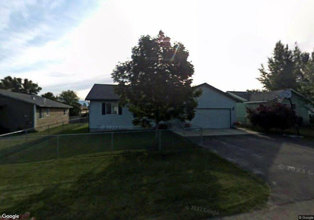
1570 Condor Dr Kalispell, MT 59901
Estimated Value: $399,000 - $419,000
3
Beds
2
Baths
1,159
Sq Ft
$350/Sq Ft
Est. Value
About This Home
This home is located at 1570 Condor Dr, Kalispell, MT 59901 and is currently estimated at $406,227, approximately $350 per square foot. 1570 Condor Dr is a home located in Flathead County with nearby schools including Elrod School, Flathead High School, and Stillwater Christian School.
Ownership History
Date
Name
Owned For
Owner Type
Purchase Details
Closed on
Apr 15, 2024
Sold by
Wata Kenzie Hipelito and Holdorff Kenzie
Bought by
Hipolito Kenzie
Current Estimated Value
Purchase Details
Closed on
Jan 12, 2023
Sold by
Karlin James A
Bought by
Holdorff Kenzie
Create a Home Valuation Report for This Property
The Home Valuation Report is an in-depth analysis detailing your home's value as well as a comparison with similar homes in the area
Home Values in the Area
Average Home Value in this Area
Purchase History
| Date | Buyer | Sale Price | Title Company |
|---|---|---|---|
| Hipolito Kenzie | -- | None Listed On Document | |
| Holdorff Kenzie | -- | None Listed On Document |
Source: Public Records
Tax History Compared to Growth
Tax History
| Year | Tax Paid | Tax Assessment Tax Assessment Total Assessment is a certain percentage of the fair market value that is determined by local assessors to be the total taxable value of land and additions on the property. | Land | Improvement |
|---|---|---|---|---|
| 2025 | $1,913 | $397,900 | $0 | $0 |
| 2024 | $2,666 | $342,300 | $0 | $0 |
| 2023 | $3,427 | $342,300 | $0 | $0 |
| 2022 | $2,761 | $232,600 | $0 | $0 |
| 2021 | $2,503 | $232,600 | $0 | $0 |
| 2020 | $2,558 | $202,700 | $0 | $0 |
| 2019 | $2,563 | $202,700 | $0 | $0 |
| 2018 | $2,302 | $171,200 | $0 | $0 |
| 2017 | $2,309 | $171,200 | $0 | $0 |
| 2016 | $1,767 | $147,700 | $0 | $0 |
| 2015 | $1,767 | $147,700 | $0 | $0 |
| 2014 | $1,766 | $89,093 | $0 | $0 |
Source: Public Records
Map
Nearby Homes
- 2147 S Woodland Dr
- 1509 Eagle Dr
- 19 Muskrat Dr
- 11 Muskrat Dr
- 2455 Us Highway 93 S
- 59 Honeysuckle Ln
- 50 Twin Acres Dr Unit 7
- 50 Twin Acres Dr Unit 11
- 1717 S Woodland Dr Unit SPC -21
- 1692 Bull Run
- 1687 Bull Run
- NHN U S 93 S
- 1340 Willow Glen Dr Unit 19
- 1340 Willow Glen Dr Unit 23
- 1340 Willow Glen Dr Unit 26
- 1221 7th Ave E
- 2883 & 2879 Lower Valley Rd
- 3943 Lower Valley Rd
- 2252 Canvasback Ct
- 826 11th St E