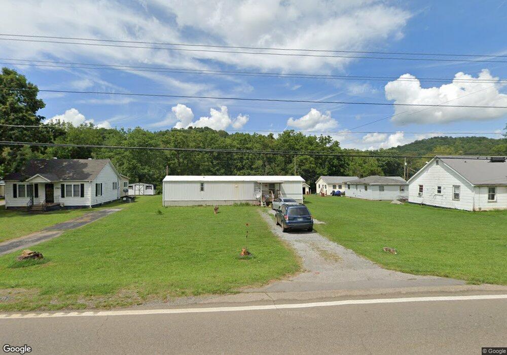
1570 E Highway 25 70 Dandridge, TN 37725
Estimated Value: $356,099 - $660,000
--
Bed
1
Bath
2,294
Sq Ft
$206/Sq Ft
Est. Value
About This Home
This home is located at 1570 E Highway 25 70, Dandridge, TN 37725 and is currently estimated at $472,275, approximately $205 per square foot. 1570 E Highway 25 70 is a home located in Jefferson County.
Ownership History
Date
Name
Owned For
Owner Type
Purchase Details
Closed on
Aug 2, 2021
Sold by
Patel Jayeshbhai Kiritkumar and Patel Hiral Miteshkumar
Bought by
Khodal Krupa Llc
Current Estimated Value
Purchase Details
Closed on
Sep 3, 2004
Sold by
Eddie Woods
Bought by
Shan Grooms Arris
Home Financials for this Owner
Home Financials are based on the most recent Mortgage that was taken out on this home.
Original Mortgage
$67,600
Interest Rate
5.75%
Purchase Details
Closed on
Jan 13, 1993
Bought by
Woods Eddie and Woods Janice
Purchase Details
Closed on
May 6, 1991
Bought by
Woods Eddie and Woods Janice
Purchase Details
Closed on
Feb 6, 1991
Bought by
Woods Eddie and Woods Janice
Purchase Details
Closed on
Sep 10, 1990
Bought by
Lindsey Christy M
Purchase Details
Closed on
Oct 10, 1973
Bought by
Woods Charles R
Create a Home Valuation Report for This Property
The Home Valuation Report is an in-depth analysis detailing your home's value as well as a comparison with similar homes in the area
Home Values in the Area
Average Home Value in this Area
Purchase History
| Date | Buyer | Sale Price | Title Company |
|---|---|---|---|
| Khodal Krupa Llc | -- | None Available | |
| Shan Grooms Arris | $75,000 | -- | |
| Woods Eddie | -- | -- | |
| Woods Eddie | $4,500 | -- | |
| Woods Eddie | $6,800 | -- | |
| Lindsey Christy M | $10,000 | -- | |
| Woods Charles R | -- | -- |
Source: Public Records
Mortgage History
| Date | Status | Borrower | Loan Amount |
|---|---|---|---|
| Previous Owner | Woods Charles R | $67,600 |
Source: Public Records
Tax History Compared to Growth
Tax History
| Year | Tax Paid | Tax Assessment Tax Assessment Total Assessment is a certain percentage of the fair market value that is determined by local assessors to be the total taxable value of land and additions on the property. | Land | Improvement |
|---|---|---|---|---|
| 2025 | $950 | $66,450 | $20,050 | $46,400 |
| 2023 | $928 | $40,350 | $0 | $0 |
| 2022 | $884 | $40,350 | $16,850 | $23,500 |
| 2021 | $884 | $40,350 | $16,850 | $23,500 |
| 2020 | $884 | $40,350 | $16,850 | $23,500 |
| 2019 | $884 | $40,350 | $16,850 | $23,500 |
| 2018 | $909 | $38,700 | $22,450 | $16,250 |
| 2017 | $909 | $38,700 | $22,450 | $16,250 |
| 2016 | $909 | $38,700 | $22,450 | $16,250 |
| 2015 | $909 | $38,700 | $22,450 | $16,250 |
| 2014 | $909 | $38,700 | $22,450 | $16,250 |
Source: Public Records
Map
Nearby Homes
- 1645 E Highway 25 70
- 1689 U S 25w
- Lot 142 Arbor Ln
- 142 Arbor Ln
- 2460 Wild Pear Trail
- 2339 Wild Pear Trail
- Lot 148 Fairmeadow Dr
- Lot 40 English Mountain Pointe
- 306 Bungalow Dr
- 307 Bungalow Dr
- 976 Bridgeview Hills Dr
- Lot 11 Stokley Ct
- 2114 Bridge View Dr
- 0 Brethren Church Rd Unit 1303637
- 2150 Galloway Island Dr
- 1023 Stokley Ct
- 599 Glenn Cir
- 1579 E Highway 25 70
- 1569 E Highway 25 70
- 1577 E Highway 25-70 E
- Lot 20 Hwy
- 3758 Highway 25-70 E
- Lot 19 Hwy
- Lot 21 Hwy
- LOT 18 Hwy
- 2521 Spice Ln
- 1601 E Highway 25 70
- Par012.0 Spice Ln
- Par011.0 Spice Ln
- Par010.0 Spice Ln
- 120 Spice Ln
- 594 Glenn Cir
- 2510 Spice Ln
- 2510 Spice Ln
- 2510 Spice Ln
- 2510 Spice Ln