1570 Pilot Mountain Rd Bulls Gap, TN 37711
Estimated Value: $191,035 - $335,000
--
Bed
2
Baths
1,056
Sq Ft
$232/Sq Ft
Est. Value
About This Home
This home is located at 1570 Pilot Mountain Rd, Bulls Gap, TN 37711 and is currently estimated at $245,259, approximately $232 per square foot. 1570 Pilot Mountain Rd is a home located in Greene County with nearby schools including Baileyton Elementary School, North Greene Middle School, and North Greene High School.
Ownership History
Date
Name
Owned For
Owner Type
Purchase Details
Closed on
Nov 5, 2008
Sold by
Eastern Eight Community De
Bought by
Hicks Levi J
Current Estimated Value
Home Financials for this Owner
Home Financials are based on the most recent Mortgage that was taken out on this home.
Original Mortgage
$88,500
Outstanding Balance
$57,545
Interest Rate
5.89%
Estimated Equity
$187,714
Purchase Details
Closed on
Aug 17, 2007
Bought by
Eastern Eight Comm Dev
Create a Home Valuation Report for This Property
The Home Valuation Report is an in-depth analysis detailing your home's value as well as a comparison with similar homes in the area
Home Values in the Area
Average Home Value in this Area
Purchase History
| Date | Buyer | Sale Price | Title Company |
|---|---|---|---|
| Hicks Levi J | $118,000 | -- | |
| Eastern Eight Comm Dev | $17,000 | -- |
Source: Public Records
Mortgage History
| Date | Status | Borrower | Loan Amount |
|---|---|---|---|
| Open | Eastern Eight Comm Dev | $88,500 | |
| Closed | Eastern Eight Comm Dev | $23,750 |
Source: Public Records
Tax History Compared to Growth
Tax History
| Year | Tax Paid | Tax Assessment Tax Assessment Total Assessment is a certain percentage of the fair market value that is determined by local assessors to be the total taxable value of land and additions on the property. | Land | Improvement |
|---|---|---|---|---|
| 2024 | $622 | $37,675 | $4,375 | $33,300 |
| 2023 | $788 | $37,675 | $0 | $0 |
| 2022 | $47,300 | $23,475 | $3,125 | $20,350 |
| 2021 | $473 | $23,475 | $3,125 | $20,350 |
| 2020 | $473 | $23,475 | $3,125 | $20,350 |
| 2019 | $473 | $23,475 | $3,125 | $20,350 |
| 2018 | $473 | $23,475 | $3,125 | $20,350 |
| 2017 | $481 | $24,400 | $3,125 | $21,275 |
| 2016 | $457 | $24,400 | $3,125 | $21,275 |
| 2015 | $457 | $24,400 | $3,125 | $21,275 |
| 2014 | $457 | $24,400 | $3,125 | $21,275 |
Source: Public Records
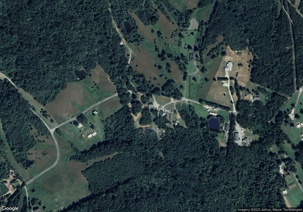
Map
Nearby Homes
- 0 Seay Hollow Rd
- Tbd Seay Hollow Rd
- 1ac Mccullough Ln
- 251 Speedwell Ln
- Tbd Lashay Ln
- TBD Gap Creek Rd
- 299 Lauderback Gap Trail
- 0 Marvin Rd Unit 1276985
- Tbd Bertie Patton Rd
- 000 Simpson Rd
- Tbd Lonesome Pine (Lot# 8) Trail
- Tbd Trail
- 113 Old Highway Rd
- Tbd Wisecarver Rd
- Tbd Lonesome Pine (Lot #10) Trail
- 240 Guthries Greene Rd
- 334 S Fork Branch Rd
- 231 Guthries Gap Rd
- 317 Berry Rd
- 365 Guthrie Greene Rd
- 1555 Pilot Mountain Rd
- 1655 Pilot Mountain Rd
- 1420 Pilot Mountain Rd
- 1740 Pilot Mountain Rd
- 1805 Pilot Mountain Rd
- 50 Coy Bradley Ln
- 1940 Pilot Mountain Rd
- 1260 Pilot Mountain Rd
- 0 Coy Bradley Ln
- TBD Coy Bradley Ln
- 248 Spice Cove
- 1165 Pilot Mountain Rd
- 221 Spice Cove
- 1365 Pilot Mountain Rd
- 2075 Pilot Mountain Rd
- TBD Pilot Mountain Rd
- 0 Pilot Mountain Rd
- 0000 Pilot Mountain Rd
- 000 Pilot Mountain Rd
- 00 Pilot Mountain Rd