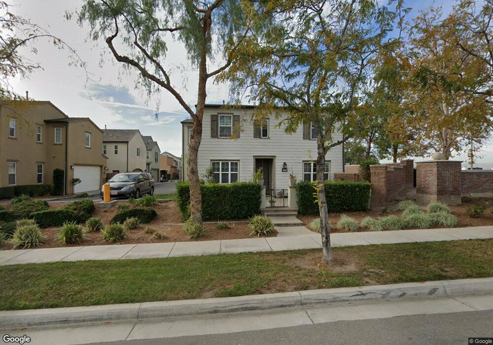
15704 Flight Ave Unit 117 Chino, CA 91708
The Preserve NeighborhoodEstimated Value: $638,000 - $830,000
3
Beds
3
Baths
1,552
Sq Ft
$464/Sq Ft
Est. Value
About This Home
This home is located at 15704 Flight Ave Unit 117, Chino, CA 91708 and is currently estimated at $720,051, approximately $463 per square foot. 15704 Flight Ave Unit 117 is a home located in San Bernardino County with nearby schools including Cal Aero Preserve Academy and Chino Hills High School.
Ownership History
Date
Name
Owned For
Owner Type
Purchase Details
Closed on
Dec 4, 2006
Sold by
Brookfield Preserve Llc
Bought by
Becker Giselle A
Current Estimated Value
Home Financials for this Owner
Home Financials are based on the most recent Mortgage that was taken out on this home.
Original Mortgage
$389,600
Outstanding Balance
$240,080
Interest Rate
6.87%
Mortgage Type
Purchase Money Mortgage
Estimated Equity
$479,971
Create a Home Valuation Report for This Property
The Home Valuation Report is an in-depth analysis detailing your home's value as well as a comparison with similar homes in the area
Home Values in the Area
Average Home Value in this Area
Purchase History
| Date | Buyer | Sale Price | Title Company |
|---|---|---|---|
| Becker Giselle A | $487,500 | Chicago Title Company |
Source: Public Records
Mortgage History
| Date | Status | Borrower | Loan Amount |
|---|---|---|---|
| Open | Becker Giselle A | $389,600 |
Source: Public Records
Tax History Compared to Growth
Tax History
| Year | Tax Paid | Tax Assessment Tax Assessment Total Assessment is a certain percentage of the fair market value that is determined by local assessors to be the total taxable value of land and additions on the property. | Land | Improvement |
|---|---|---|---|---|
| 2025 | $9,332 | $652,497 | $228,374 | $424,123 |
| 2024 | $9,332 | $639,703 | $223,896 | $415,807 |
| 2023 | $8,894 | $605,000 | $210,000 | $395,000 |
| 2022 | $8,178 | $532,000 | $186,000 | $346,000 |
| 2021 | $7,348 | $457,000 | $160,000 | $297,000 |
| 2020 | $7,326 | $456,300 | $159,700 | $296,600 |
| 2019 | $7,189 | $443,000 | $155,000 | $288,000 |
| 2018 | $7,088 | $435,000 | $152,000 | $283,000 |
| 2017 | $6,869 | $414,500 | $145,500 | $269,000 |
| 2016 | $6,445 | $394,800 | $138,600 | $256,200 |
| 2015 | $6,226 | $376,000 | $132,000 | $244,000 |
| 2014 | $6,225 | $376,000 | $132,000 | $244,000 |
Source: Public Records
Map
Nearby Homes
- 8506 Forest Park St
- 8358 Ranger Ln
- 16538 Globetrotter Ave
- 8465 Forest Park St
- 8466 Explorer St
- 8511 Founders Grove St
- 8423 Explorer St
- 8417 Explorer St
- 8367 Explorer St
- 8737 Candlewood St
- 8432 Spirit St
- 8706 Founders Grove St
- 15991 Alamo Ct
- 15993 Alamo Ct
- 16004 Alamo Ct
- 15972 Bravery Ave
- 16001 Alamo Ct
- 15999 Alamo Ct
- 16016 Alamo Ct
- 16007 Alamo Ct
- 8474 Weather Wood St Unit 116
- 8468 Weather Wood St
- 8470 Weather Wood St Unit 119
- 8470 Weather Wood St
- 15716 Flight Ave
- 8460 Weatherwood St
- 8458 Weatherwood St
- 8458 Weather Wood St
- 8466 Weather Wood St
- 8456 Weather Wood St
- 8464 Weather Wood St
- 8464 Weatherwood St
- 15728 Flight Ave
- 8452 Weather Wood St
- 8450 Weather Wood St
- 8448 Weather Wood St Unit 111
- 8461 Blue Spruce St Unit 124
- 8481 Blue Spruce St Unit 126
- 15730 Wrightwood Ave