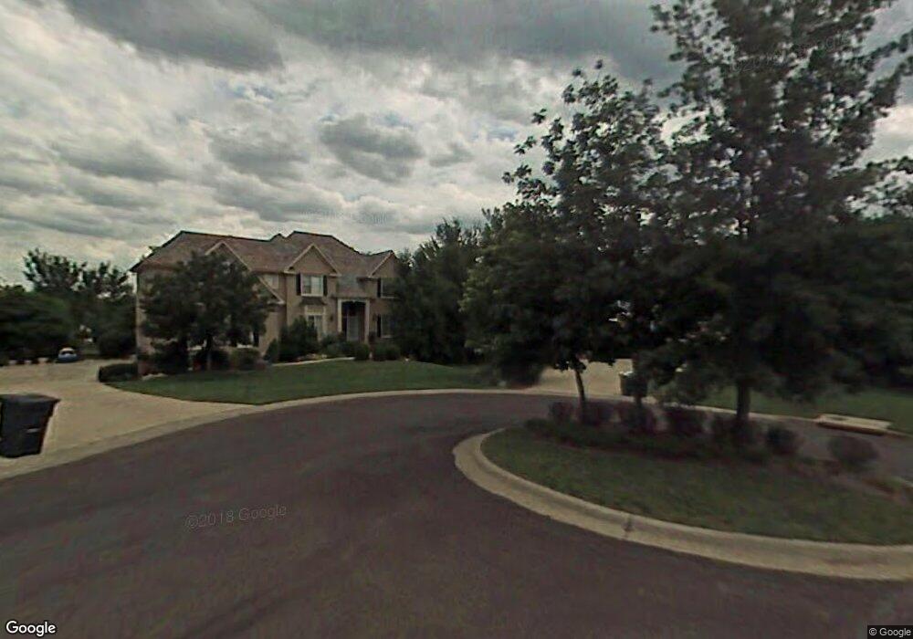
15705 Mohawk Cir Overland Park, KS 66224
Estimated Value: $721,889 - $857,000
4
Beds
5
Baths
3,760
Sq Ft
$208/Sq Ft
Est. Value
About This Home
This home is located at 15705 Mohawk Cir, Overland Park, KS 66224 and is currently estimated at $780,222, approximately $207 per square foot. 15705 Mohawk Cir is a home located in Johnson County with nearby schools including Sunrise Point Elementary School, Prairie Star Middle School, and Blue Valley High School.
Ownership History
Date
Name
Owned For
Owner Type
Purchase Details
Closed on
Oct 31, 2002
Sold by
Heartland Bank Na
Bought by
Saulsberry William T and Saulsberry Linda J
Current Estimated Value
Home Financials for this Owner
Home Financials are based on the most recent Mortgage that was taken out on this home.
Original Mortgage
$376,000
Interest Rate
5.96%
Purchase Details
Closed on
Apr 26, 2001
Sold by
Heritage Development Of Kansas Inc
Bought by
Castrop Building Group Inc
Home Financials for this Owner
Home Financials are based on the most recent Mortgage that was taken out on this home.
Original Mortgage
$284,000
Interest Rate
7.03%
Create a Home Valuation Report for This Property
The Home Valuation Report is an in-depth analysis detailing your home's value as well as a comparison with similar homes in the area
Home Values in the Area
Average Home Value in this Area
Purchase History
| Date | Buyer | Sale Price | Title Company |
|---|---|---|---|
| Saulsberry William T | -- | Security Land Title Company | |
| Castrop Building Group Inc | -- | Security Land Title Company |
Source: Public Records
Mortgage History
| Date | Status | Borrower | Loan Amount |
|---|---|---|---|
| Previous Owner | Saulsberry William T | $376,000 | |
| Previous Owner | Castrop Building Group Inc | $284,000 |
Source: Public Records
Tax History Compared to Growth
Tax History
| Year | Tax Paid | Tax Assessment Tax Assessment Total Assessment is a certain percentage of the fair market value that is determined by local assessors to be the total taxable value of land and additions on the property. | Land | Improvement |
|---|---|---|---|---|
| 2024 | $7,448 | $72,370 | $10,087 | $62,283 |
| 2023 | $7,294 | $69,863 | $10,087 | $59,776 |
| 2022 | $6,419 | $60,421 | $10,087 | $50,334 |
| 2021 | $5,668 | $50,726 | $9,163 | $41,563 |
| 2020 | $5,449 | $48,438 | $7,968 | $40,470 |
| 2019 | $5,859 | $50,968 | $6,923 | $44,045 |
| 2018 | $5,759 | $49,105 | $6,923 | $42,182 |
| 2017 | $5,592 | $46,840 | $6,923 | $39,917 |
| 2016 | $5,455 | $45,655 | $6,923 | $38,732 |
| 2015 | $5,384 | $44,862 | $6,923 | $37,939 |
| 2013 | -- | $43,493 | $6,923 | $36,570 |
Source: Public Records
Map
Nearby Homes
- 18456 Pawnee Ln
- 18460 Pawnee Ln
- 18505 Pawnee Ln
- 18509 Pawnee Ln
- 18452 Pawnee Ln
- 18464 Windsor St
- 15812 Howe St
- 18465 Windsor St
- 15825 Howe St
- 18605 Reinhardt St
- 18612 Reinhardt St
- 3806 W 158th Terrace
- 15825 Alhambra St
- 3811 W 158th Terrace
- 4003 W 156th Terrace
- 15829 Alhambra St
- 15833 Alhambra St
- 4009 W 158th St
- 15824 Alhambra St
- 15828 Alhambra St
- 15709 Mohawk St
- 15701 Mohawk Cir
- 3617 W 157th St
- 3621 W 157th St
- 15712 Mohawk St
- 15713 Mohawk St
- 15708 Mohawk Cir
- 15704 Mohawk Cir
- 3613 W 157th St
- 15700 Mohawk Cir
- 15716 Mohawk St
- 3700 W 157th St
- 3616 W 157th St
- 15732 Howe St
- 3612 W 157th St
- 3609 W 157th St
- 3609 W 157th Place
- 3709 W 157th St
- 3601 W 157th St
- 3704 W 157th St