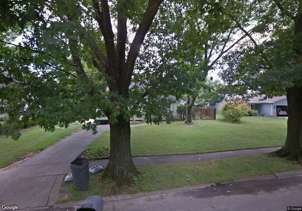
1571 Brookcrest Dr Hamilton, OH 45013
Estimated Value: $143,000 - $231,000
2
Beds
1
Bath
1,311
Sq Ft
$157/Sq Ft
Est. Value
About This Home
This home is located at 1571 Brookcrest Dr, Hamilton, OH 45013 and is currently estimated at $205,353, approximately $156 per square foot. 1571 Brookcrest Dr is a home located in Butler County with nearby schools including Brookwood Elementary School, Wilson Middle School, and Hamilton High School Main Campus.
Ownership History
Date
Name
Owned For
Owner Type
Purchase Details
Closed on
Jul 2, 2010
Sold by
Dungan Brenda L
Bought by
Robson John S
Current Estimated Value
Purchase Details
Closed on
Oct 1, 2001
Sold by
Mcdaniel Charles M
Bought by
Robson John and Dungan Brenda
Home Financials for this Owner
Home Financials are based on the most recent Mortgage that was taken out on this home.
Original Mortgage
$68,400
Interest Rate
6.8%
Mortgage Type
Purchase Money Mortgage
Purchase Details
Closed on
Sep 13, 1999
Sold by
Mcdaniel Anne and Boyd Anne
Bought by
Mcdaniel Anne and Mcdaniel Charles M
Purchase Details
Closed on
Oct 1, 1985
Purchase Details
Closed on
Mar 1, 1985
Create a Home Valuation Report for This Property
The Home Valuation Report is an in-depth analysis detailing your home's value as well as a comparison with similar homes in the area
Home Values in the Area
Average Home Value in this Area
Purchase History
| Date | Buyer | Sale Price | Title Company |
|---|---|---|---|
| Robson John S | -- | None Available | |
| Robson John | $76,000 | -- | |
| Mcdaniel Anne | -- | -- | |
| -- | $54,000 | -- | |
| -- | $57,000 | -- |
Source: Public Records
Mortgage History
| Date | Status | Borrower | Loan Amount |
|---|---|---|---|
| Previous Owner | Robson John | $68,400 |
Source: Public Records
Tax History Compared to Growth
Tax History
| Year | Tax Paid | Tax Assessment Tax Assessment Total Assessment is a certain percentage of the fair market value that is determined by local assessors to be the total taxable value of land and additions on the property. | Land | Improvement |
|---|---|---|---|---|
| 2024 | $2,319 | $54,950 | $9,720 | $45,230 |
| 2023 | $2,308 | $58,220 | $9,720 | $48,500 |
| 2022 | $1,894 | $38,190 | $9,720 | $28,470 |
| 2021 | $1,675 | $36,990 | $9,720 | $27,270 |
| 2020 | $1,745 | $36,990 | $9,720 | $27,270 |
| 2019 | $2,330 | $31,820 | $9,330 | $22,490 |
| 2018 | $1,479 | $31,820 | $9,330 | $22,490 |
| 2017 | $1,492 | $31,820 | $9,330 | $22,490 |
| 2016 | $1,434 | $29,150 | $9,330 | $19,820 |
| 2015 | $1,426 | $29,150 | $9,330 | $19,820 |
| 2014 | $1,753 | $29,150 | $9,330 | $19,820 |
| 2013 | $1,753 | $38,150 | $12,440 | $25,710 |
Source: Public Records
Map
Nearby Homes
- 885 Carlisle Ave
- 1317 Glenbrook Dr
- 560 Springvale Dr
- 1317 Goodman Ave
- 16 Rockford Dr
- 117 Mavern Ave
- 1122 Franklin St
- 1415 Main St
- 82 N Brookwood Ave
- 1028 Ross Ave
- 121 Cedar Ln
- 1063 Westview Ave
- 781 Springvale Dr
- 1038 Hunt Ave
- 1263 Park Ave
- 1311 Park Ave
- 732 Millville Ave
- 1607 Cereal Ave
- 2073 Sunset Dr
- 451 Millville Ave
- 1577 Brookcrest Dr
- 1563 Brookcrest Dr
- 1583 Brookcrest Dr
- 1560 Sunset Dr
- 1555 Brookcrest Dr
- 1554 Sunset Dr
- 1568 Sunset Dr
- 1546 Sunset Dr
- 1576 Sunset Dr
- 1547 Brookcrest Dr
- 1589 Brookcrest Dr
- 1538 Sunset Dr
- 1584 Sunset Dr
- 1541 Brookcrest Dr
- 250 N Washington Blvd
- 1530 Sunset Dr
- 240 N Washington Blvd
- 1561 Sunset Dr
- 1555 Sunset Dr
- 1567 Sunset Dr