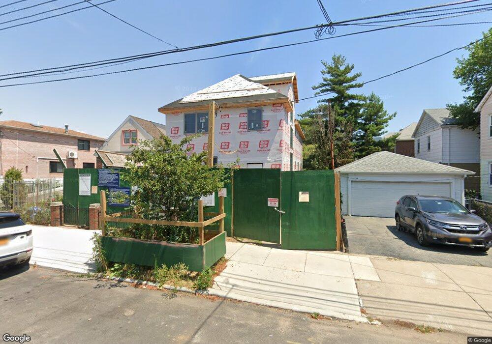
1571 Kimball St Brooklyn, NY 11234
Marine Park NeighborhoodEstimated Value: $968,000 - $1,468,000
--
Bed
--
Bath
2,487
Sq Ft
$470/Sq Ft
Est. Value
About This Home
This home is located at 1571 Kimball St, Brooklyn, NY 11234 and is currently estimated at $1,169,139, approximately $470 per square foot. 1571 Kimball St is a home located in Kings County with nearby schools including PS 222 Katherine R Snyder, J.H.S. 278 Marine Park, and James Madison High School.
Ownership History
Date
Name
Owned For
Owner Type
Purchase Details
Closed on
Apr 30, 2010
Sold by
Drezdner Zev
Bought by
Fried Rachel R and Weintraub Gershon H
Current Estimated Value
Home Financials for this Owner
Home Financials are based on the most recent Mortgage that was taken out on this home.
Original Mortgage
$416,000
Outstanding Balance
$278,555
Interest Rate
5.03%
Mortgage Type
Purchase Money Mortgage
Estimated Equity
$890,584
Purchase Details
Closed on
May 31, 2007
Sold by
Perez Bedzaida and Perez George
Bought by
Drezdner Zev
Home Financials for this Owner
Home Financials are based on the most recent Mortgage that was taken out on this home.
Original Mortgage
$417,000
Interest Rate
6.19%
Mortgage Type
Purchase Money Mortgage
Create a Home Valuation Report for This Property
The Home Valuation Report is an in-depth analysis detailing your home's value as well as a comparison with similar homes in the area
Home Values in the Area
Average Home Value in this Area
Purchase History
| Date | Buyer | Sale Price | Title Company |
|---|---|---|---|
| Fried Rachel R | $600,000 | -- | |
| Fried Rachel R | $600,000 | -- | |
| Drezdner Zev | $678,000 | -- | |
| Drezdner Zev | $678,000 | -- |
Source: Public Records
Mortgage History
| Date | Status | Borrower | Loan Amount |
|---|---|---|---|
| Open | Fried Rachel R | $416,000 | |
| Closed | Fried Rachel R | $416,000 | |
| Previous Owner | Drezdner Zev | $417,000 |
Source: Public Records
Tax History Compared to Growth
Tax History
| Year | Tax Paid | Tax Assessment Tax Assessment Total Assessment is a certain percentage of the fair market value that is determined by local assessors to be the total taxable value of land and additions on the property. | Land | Improvement |
|---|---|---|---|---|
| 2025 | $10,236 | $60,360 | $17,340 | $43,020 |
| 2024 | $10,236 | $57,720 | $17,340 | $40,380 |
| 2023 | $10,350 | $60,120 | $18,060 | $42,060 |
| 2022 | $8,479 | $52,020 | $18,060 | $33,960 |
| 2021 | $8,433 | $48,360 | $18,060 | $30,300 |
| 2020 | $3,955 | $48,900 | $18,060 | $30,840 |
| 2019 | $7,461 | $46,020 | $18,060 | $27,960 |
| 2018 | $7,270 | $35,665 | $14,586 | $21,079 |
| 2017 | $7,215 | $35,395 | $15,463 | $19,932 |
| 2016 | $6,676 | $33,393 | $17,065 | $16,328 |
| 2015 | $4,027 | $31,503 | $17,081 | $14,422 |
| 2014 | $4,027 | $29,721 | $13,692 | $16,029 |
Source: Public Records
Map
Nearby Homes
- 3920 Avenue P
- 1513 Kimball St
- 1554 E 38th St
- 1530 E 38th St
- 3710 Avenue P
- 2075 Flatbush Ave
- 1668 Hendrickson St
- 2230 Troy Ave
- 3708 Avenue M
- 3622 Avenue M
- 1674 E 38th St
- 1263 Ryder St
- 3707 Quentin Rd
- 1723 Kimball St
- 1607 E 43rd St
- 1715 Hendrickson St
- 1695 E 45th St
- 3617 Quentin Rd
- 1638 E 36th St
- 3626 Kings Hwy
- 1565 Kimball St
- 4009 Avenue P
- 1563 Kimball St
- 4005 Avenue P
- 4011 Avenue P
- 1561 Kimball St
- 1568 Coleman St
- 1566 Coleman St
- 4017 Avenue P
- 1564 Coleman St
- 1562 Coleman St
- 3923 Avenue P
- 4023 Avenue P
- 1553 Kimball St
- 1556 Coleman St
- 1572 Kimball St
- 1570 Kimball St
- 1566 Kimball St
- 1564 Kimball St
- 3919 Avenue P