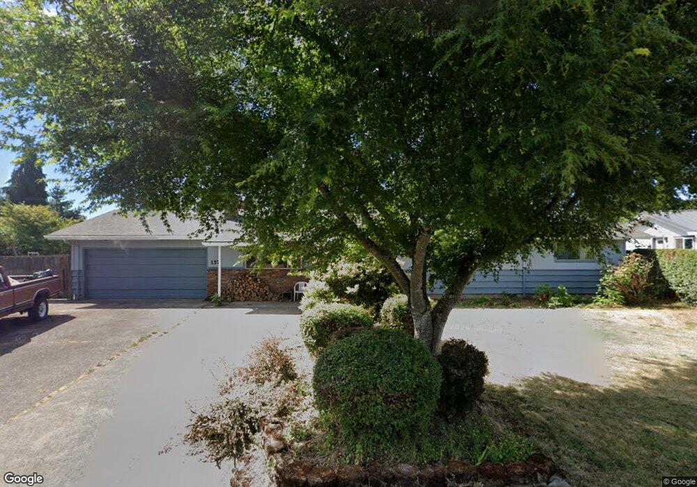
1571 Menlo Loop Springfield, OR 97477
West Springfield NeighborhoodEstimated Value: $428,000 - $511,000
5
Beds
2
Baths
1,568
Sq Ft
$290/Sq Ft
Est. Value
About This Home
This home is located at 1571 Menlo Loop, Springfield, OR 97477 and is currently estimated at $454,322, approximately $289 per square foot. 1571 Menlo Loop is a home located in Lane County with nearby schools including Centennial Elementary School, Hamlin Middle School, and Springfield High School.
Ownership History
Date
Name
Owned For
Owner Type
Purchase Details
Closed on
Jul 2, 2003
Sold by
Turner James G and Turner Sharon D
Bought by
Lane Michael S
Current Estimated Value
Home Financials for this Owner
Home Financials are based on the most recent Mortgage that was taken out on this home.
Original Mortgage
$151,050
Outstanding Balance
$62,917
Interest Rate
5.22%
Mortgage Type
Purchase Money Mortgage
Estimated Equity
$391,405
Create a Home Valuation Report for This Property
The Home Valuation Report is an in-depth analysis detailing your home's value as well as a comparison with similar homes in the area
Home Values in the Area
Average Home Value in this Area
Purchase History
| Date | Buyer | Sale Price | Title Company |
|---|---|---|---|
| Lane Michael S | $159,000 | Western Pioneer Title Co |
Source: Public Records
Mortgage History
| Date | Status | Borrower | Loan Amount |
|---|---|---|---|
| Open | Lane Michael S | $151,050 |
Source: Public Records
Tax History
| Year | Tax Paid | Tax Assessment Tax Assessment Total Assessment is a certain percentage of the fair market value that is determined by local assessors to be the total taxable value of land and additions on the property. | Land | Improvement |
|---|---|---|---|---|
| 2025 | $3,141 | $214,454 | -- | -- |
| 2024 | $3,056 | $208,208 | -- | -- |
| 2023 | $3,056 | $202,144 | $0 | $0 |
| 2022 | $2,905 | $196,257 | $0 | $0 |
| 2021 | $2,843 | $190,541 | $0 | $0 |
| 2020 | $2,760 | $184,992 | $0 | $0 |
| 2019 | $2,663 | $179,604 | $0 | $0 |
| 2018 | $2,562 | $169,294 | $0 | $0 |
| 2017 | $2,485 | $169,294 | $0 | $0 |
| 2016 | $2,430 | $164,363 | $0 | $0 |
| 2015 | $2,371 | $159,576 | $0 | $0 |
| 2014 | $2,271 | $154,928 | $0 | $0 |
Source: Public Records
Map
Nearby Homes
- 1533 Sequoia Ave
- 1130 Anderson Ln
- 1424 Wimbledon Place
- 1450 W Quinalt St
- 1310 W Quinalt St
- 835 Anderson Ln
- 1074 Hamilton St
- 804 W N St
- 1505 Canal St
- 3579 Oxbow Way
- 446 Kodiak St
- 898 Lochaven Ave
- 930 Prescott Ln
- 992 Sunset Dr
- 3360 Chevy Chase St
- 428 W Centennial Blvd
- 952 Summit Blvd
- 0 Summit Blvd Unit 101337462
- 1566 Laura St
- 538 Lochaven Ave
- 1623 Menlo Loop
- 1565 Menlo Loop
- 1580 Cottonwood Ave
- 1560 Cottonwood Ave
- 1604 Cottonwood Ave
- 1540 Cottonwood Ave
- 1570 Menlo Loop
- 1635 Menlo Loop
- 1551 Menlo Loop
- 1650 Cottonwood Ave
- 1628 Menlo Loop
- 1520 Cottonwood Ave
- 1550 Menlo Loop
- 1690 Cottonwood Ave
- 1324 Tamarack St
- 1336 Tamarack St
- 1545 Menlo Loop
- 1581 Cottonwood Ave
- 1649 Menlo Loop
- 1563 Cottonwood Ave
Your Personal Tour Guide
Ask me questions while you tour the home.