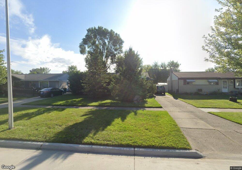
15715 Brandt St Romulus, MI 48174
Estimated Value: $140,000 - $184,000
3
Beds
3
Baths
960
Sq Ft
$178/Sq Ft
Est. Value
About This Home
This home is located at 15715 Brandt St, Romulus, MI 48174 and is currently estimated at $170,905, approximately $178 per square foot. 15715 Brandt St is a home located in Wayne County with nearby schools including Halecreek Elementary School, Romulus Middle School, and Romulus Senior High School.
Ownership History
Date
Name
Owned For
Owner Type
Purchase Details
Closed on
Oct 25, 2006
Sold by
Hunter Debria
Bought by
Jp Morgan Chase Bank
Current Estimated Value
Purchase Details
Closed on
Dec 15, 2003
Sold by
Morgan Stacy
Bought by
Hunter Debria
Purchase Details
Closed on
Apr 2, 2003
Sold by
Newton Leola and Hudacko Leola
Bought by
Morgan Stacy
Purchase Details
Closed on
Oct 2, 2002
Sold by
Newton Es
Bought by
Atlanta & Southern Investment Co
Create a Home Valuation Report for This Property
The Home Valuation Report is an in-depth analysis detailing your home's value as well as a comparison with similar homes in the area
Home Values in the Area
Average Home Value in this Area
Purchase History
| Date | Buyer | Sale Price | Title Company |
|---|---|---|---|
| Jp Morgan Chase Bank | $113,815 | None Available | |
| Hunter Debria | $127,000 | Commonwealth Land Title | |
| Morgan Stacy | $115,000 | Commonwealth Land Title | |
| Atlanta & Southern Investment Co | $64,573 | -- |
Source: Public Records
Tax History
| Year | Tax Paid | Tax Assessment Tax Assessment Total Assessment is a certain percentage of the fair market value that is determined by local assessors to be the total taxable value of land and additions on the property. | Land | Improvement |
|---|---|---|---|---|
| 2025 | $1,702 | $77,900 | $0 | $0 |
| 2024 | $1,712 | $71,500 | $0 | $0 |
| 2023 | $1,646 | $63,700 | $0 | $0 |
| 2022 | $1,939 | $58,600 | $0 | $0 |
| 2021 | $1,885 | $47,600 | $0 | $0 |
| 2020 | $1,843 | $47,000 | $0 | $0 |
| 2019 | $1,843 | $39,900 | $0 | $0 |
| 2018 | $1,211 | $31,200 | $0 | $0 |
| 2017 | $890 | $30,700 | $0 | $0 |
| 2016 | $1,596 | $31,900 | $0 | $0 |
| 2015 | $3,090 | $30,900 | $0 | $0 |
| 2013 | $3,060 | $33,200 | $0 | $0 |
| 2012 | $951 | $32,400 | $5,200 | $27,200 |
Source: Public Records
Map
Nearby Homes
- 15521 Brandt St
- 30455 Cherry Ave
- 30058 Halecreek St
- 29934 Spain St
- 15900 Sandburg St
- 16068 Middlebelt Rd
- 16110 Farnum St
- 15715 Merriman Rd
- 30620 Pennsylvania Rd
- 00 Eureka Rd
- 30930 Pennsylvania Rd Unit 8
- 00000 Pennsylvania Rd
- 15654 Isabelle St
- 28567 Forest Dale St
- 28510 Halecreek St
- Lot 106 Hollywood
- Lot 107 Hollywood
- 00000 Huron
- 0 Hannan-Huro River Dr Unit 20261004710
- 16295 Vining Rd
- 15703 Brandt St
- 15727 Brandt St
- 15739 Brandt St
- 15589 Brandt St
- 15608 Anthony St
- 15620 Anthony St
- 15546 Anthony St
- 15632 Anthony St
- 15575 Brandt St
- 15751 Brandt St
- 15534 Anthony St
- 15714 Brandt St
- 15644 Anthony St
- 0 Anthony Unit 4909465
- 0 Anthony Unit 211113409
- 15726 Brandt St
- 15702 Brandt St
- 15561 Brandt St
- 15522 Anthony St
- 15738 Brandt St
Your Personal Tour Guide
Ask me questions while you tour the home.