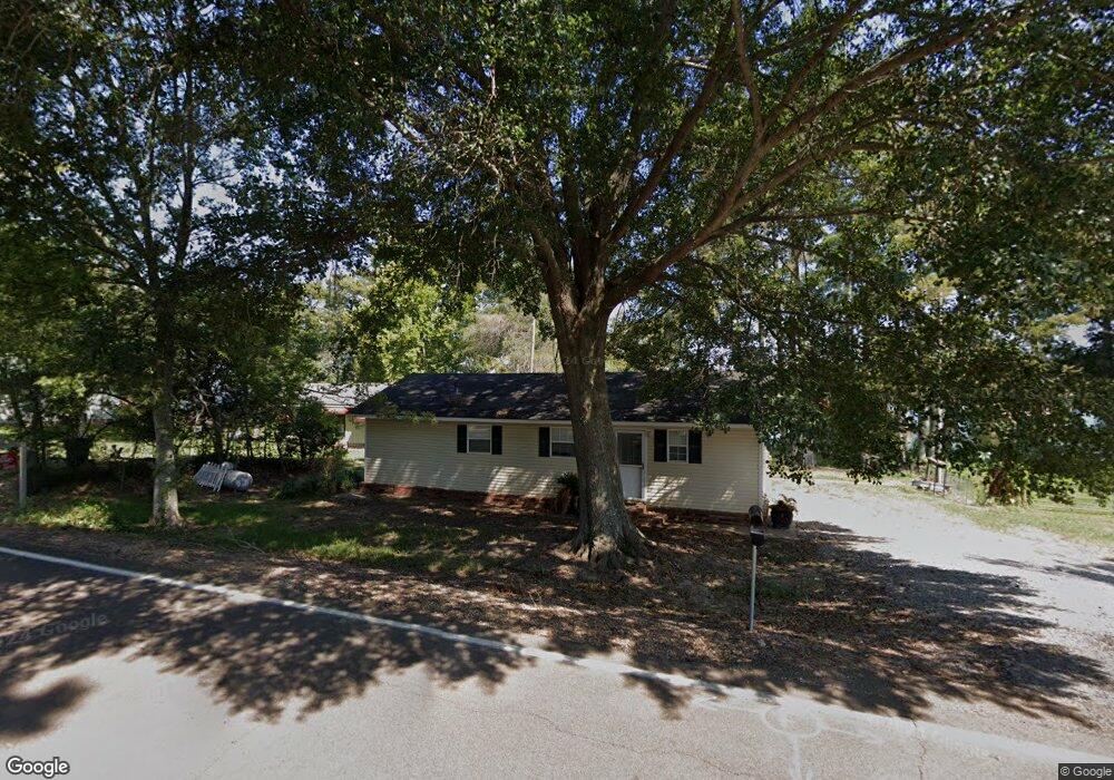
1572 Highway 569 Ferriday, LA 71334
Estimated Value: $248,000 - $333,000
3
Beds
1
Bath
980
Sq Ft
$290/Sq Ft
Est. Value
About This Home
This home is located at 1572 Highway 569, Ferriday, LA 71334 and is currently estimated at $284,556, approximately $290 per square foot. 1572 Highway 569 is a home located in Concordia Parish.
Ownership History
Date
Name
Owned For
Owner Type
Purchase Details
Closed on
Mar 2, 2016
Sold by
Pugh William D and Pugh Kelly
Bought by
Barnes William Clyde
Current Estimated Value
Home Financials for this Owner
Home Financials are based on the most recent Mortgage that was taken out on this home.
Original Mortgage
$195,000
Outstanding Balance
$154,700
Interest Rate
3.72%
Mortgage Type
Purchase Money Mortgage
Estimated Equity
$129,856
Purchase Details
Closed on
Apr 13, 2011
Sold by
Roth Richard Keith
Bought by
Pugh William D and Pugh Kelly
Create a Home Valuation Report for This Property
The Home Valuation Report is an in-depth analysis detailing your home's value as well as a comparison with similar homes in the area
Home Values in the Area
Average Home Value in this Area
Purchase History
| Date | Buyer | Sale Price | Title Company |
|---|---|---|---|
| Barnes William Clyde | $220,000 | -- | |
| Pugh William D | $134,500 | -- |
Source: Public Records
Mortgage History
| Date | Status | Borrower | Loan Amount |
|---|---|---|---|
| Open | Barnes William Clyde | $195,000 | |
| Closed | Pugh William D | $0 |
Source: Public Records
Tax History Compared to Growth
Tax History
| Year | Tax Paid | Tax Assessment Tax Assessment Total Assessment is a certain percentage of the fair market value that is determined by local assessors to be the total taxable value of land and additions on the property. | Land | Improvement |
|---|---|---|---|---|
| 2024 | $2,356 | $22,050 | $7,650 | $14,400 |
| 2023 | $2,319 | $22,050 | $7,650 | $14,400 |
| 2022 | $2,319 | $22,050 | $7,650 | $14,400 |
| 2021 | $2,310 | $22,050 | $7,650 | $14,400 |
| 2020 | $2,306 | $22,050 | $7,650 | $14,400 |
| 2019 | $2,290 | $21,660 | $6,800 | $14,860 |
| 2018 | $2,287 | $21,660 | $6,800 | $14,860 |
| 2017 | $2,287 | $21,660 | $6,800 | $14,860 |
| 2015 | $1,385 | $13,050 | $5,530 | $7,520 |
| 2014 | $1,378 | $13,050 | $5,530 | $7,520 |
Source: Public Records
Map
Nearby Homes
- 1648 Louisiana 569
- 1732 Highway 569
- 1744 Highway 569
- 966 Hwy 569
- 628 Highway 569
- 299 Louisiana 569
- 00 Louisiana 569
- 4582 Louisiana 569
- 5367 State Route 568
- 148 Do Lou Rd
- 5635 Highway 568
- 167 Vernon Rd
- 5913 Highway 568
- 2804 Highway 568
- 60 Pinemount Rd
- 12 Foster Mound Rd
- 8 Lofton Ln
- 30 Hibiscus Ln
- 1669 Highway 568
- 1603 Highway 568
- 1554 Highway 569
- 1596 Highway 569
- 1548 Highway 569
- 1561 Highway 569
- 1544 Highway 569
- 1612 Highway 569
- 1526 Highway 569
- 1616 Highway 569
- 1518 Highway 569
- 1628 Highway 569
- 1630 Highway 569
- 1630 La Hwy 569
- 1630 Louisiana 569
- 1508 Highway 569
- 1640 Louisiana 569
- 1640 Highway 569
- 1640 Highway 569
- 1655 Louisiana 569
- 1655 Highway 569
- 1662 Highwy 569