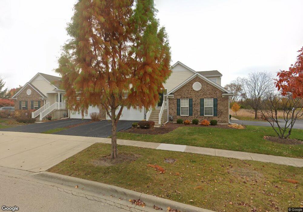
1572 Matthew Dr Unit 403 Algonquin, IL 60102
Far West Algonquin NeighborhoodEstimated Value: $284,364 - $324,000
2
Beds
--
Bath
1,879
Sq Ft
$161/Sq Ft
Est. Value
About This Home
This home is located at 1572 Matthew Dr Unit 403, Algonquin, IL 60102 and is currently estimated at $301,591, approximately $160 per square foot. 1572 Matthew Dr Unit 403 is a home located in Kane County with nearby schools including Westfield Community School, Lincoln Prairie Elementary School, and Harry D Jacobs High School.
Ownership History
Date
Name
Owned For
Owner Type
Purchase Details
Closed on
Oct 7, 2022
Sold by
Lombardo James M and Lombardo Josephine
Bought by
Chicago Title Land Trust
Current Estimated Value
Purchase Details
Closed on
Dec 27, 2006
Sold by
Mageri Thomas J
Bought by
Lombardo James M and Lombardo Josephine
Purchase Details
Closed on
Oct 1, 2005
Sold by
Centex Homes
Bought by
Magerl Thomas J
Create a Home Valuation Report for This Property
The Home Valuation Report is an in-depth analysis detailing your home's value as well as a comparison with similar homes in the area
Home Values in the Area
Average Home Value in this Area
Purchase History
| Date | Buyer | Sale Price | Title Company |
|---|---|---|---|
| Chicago Title Land Trust | -- | Chicago Title Land Trust Compa | |
| Lombardo James M | $245,000 | Heritage Title Company | |
| Magerl Thomas J | $257,000 | Chicago Title Insurance Comp |
Source: Public Records
Tax History Compared to Growth
Tax History
| Year | Tax Paid | Tax Assessment Tax Assessment Total Assessment is a certain percentage of the fair market value that is determined by local assessors to be the total taxable value of land and additions on the property. | Land | Improvement |
|---|---|---|---|---|
| 2024 | $2,054 | $84,644 | $8,371 | $76,273 |
| 2023 | $6,199 | $76,160 | $7,532 | $68,628 |
| 2022 | $2,675 | $70,943 | $7,532 | $63,411 |
| 2021 | $2,760 | $66,985 | $7,112 | $59,873 |
| 2020 | $2,773 | $65,479 | $6,952 | $58,527 |
| 2019 | $2,842 | $62,160 | $6,600 | $55,560 |
| 2018 | $2,952 | $56,125 | $6,469 | $49,656 |
| 2017 | $3,043 | $52,502 | $6,051 | $46,451 |
| 2016 | $3,232 | $50,835 | $5,859 | $44,976 |
| 2015 | -- | $44,234 | $5,490 | $38,744 |
| 2014 | -- | $43,012 | $5,338 | $37,674 |
| 2013 | -- | $44,328 | $5,501 | $38,827 |
Source: Public Records
Map
Nearby Homes
- 0 Boyer Rd Unit MRD11328255
- 2930 Harnish Dr
- 30 Arbordale Ct Unit 4284
- 000 County Line Rd
- Marianne Plan at Algonquin Meadows - Traditional Townhomes
- Darcy Plan at Algonquin Meadows - Traditional Townhomes
- Charlotte Plan at Algonquin Meadows - Traditional Townhomes
- 2601 Harnish Dr
- 2611 Harnish Dr
- 2043 Peach Tree Ln Unit 4122
- DOVER Plan at Grand Reserve - Algonquin
- CLIFTON Plan at Grand Reserve - Algonquin
- 1900 Waverly Ln
- 2660 Harnish Dr
- 1801 Arbordale Ln
- Amherst Plan at Algonquin Meadows - Urban Townhomes
- Chatham Plan at Algonquin Meadows - Urban Townhomes
- Chelsea Plan at Algonquin Meadows - Urban Townhomes
- 1020 Glenmont St
- 1090 Glenmont St
- 1576 Matthew Dr Unit 401
- 1574 Matthew Dr Unit 402
- 1580 Matthew Dr Unit 4
- 1582 Matthew Dr Unit 3
- 1582 Matthew Dr Unit 1582
- 1584 Matthew Dr Unit 2
- 1586 Matthew Dr Unit 1
- 1586 Matthew Dr Unit 1586
- 2 Christie Ct Unit 3
- 14 Christie Ct Unit 2
- 2635 Christie Dr Unit 3
- 1563 Matthew Dr Unit 2
- 6 Christie Ct Unit 1
- 4 Christie Ct Unit 2
- 1570 Matthew Dr Unit 404
- 2626 Christie Dr Unit 4
- 2624 Christie Dr Unit 3
- 2622 Christie Dr Unit 2
- 2641 Christie Dr Unit 1
- 2643 Christie Dr Unit 2