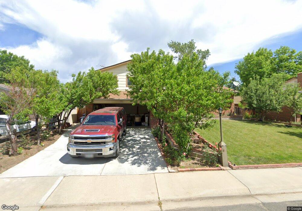
1572 Mayfield Ln Longmont, CO 80501
Southmoor NeighborhoodEstimated Value: $493,000 - $544,000
3
Beds
3
Baths
2,316
Sq Ft
$224/Sq Ft
Est. Value
About This Home
This home is located at 1572 Mayfield Ln, Longmont, CO 80501 and is currently estimated at $518,821, approximately $224 per square foot. 1572 Mayfield Ln is a home located in Boulder County with nearby schools including Indian Peaks Elementary School, Sunset Middle School, and Niwot High School.
Ownership History
Date
Name
Owned For
Owner Type
Purchase Details
Closed on
Dec 12, 2023
Sold by
Thompson Daniel S
Bought by
Thompson Daniel S and Thompson Dawn A
Current Estimated Value
Purchase Details
Closed on
Aug 16, 2002
Sold by
Thompson Daniel S
Bought by
Thompson Daniel S and Thompson Sheila M
Home Financials for this Owner
Home Financials are based on the most recent Mortgage that was taken out on this home.
Original Mortgage
$145,000
Interest Rate
6.48%
Purchase Details
Closed on
Oct 23, 1997
Sold by
Thompson Carole E
Bought by
Thompson Daniel S
Purchase Details
Closed on
May 13, 1994
Sold by
Mertens Steven J and Mertens Terri J
Bought by
Thompson Daniel S
Home Financials for this Owner
Home Financials are based on the most recent Mortgage that was taken out on this home.
Original Mortgage
$98,000
Interest Rate
8.4%
Mortgage Type
FHA
Purchase Details
Closed on
Jun 3, 1988
Bought by
Thompson Daniel S
Purchase Details
Closed on
Oct 26, 1976
Bought by
Thompson Daniel S
Create a Home Valuation Report for This Property
The Home Valuation Report is an in-depth analysis detailing your home's value as well as a comparison with similar homes in the area
Home Values in the Area
Average Home Value in this Area
Purchase History
| Date | Buyer | Sale Price | Title Company |
|---|---|---|---|
| Thompson Daniel S | -- | None Listed On Document | |
| Thompson Daniel S | -- | First American Heritage Titl | |
| Thompson Daniel S | -- | -- | |
| Thompson Daniel S | $135,000 | Commonwealth Land Title Co | |
| Thompson Daniel S | $84,900 | -- | |
| Thompson Daniel S | $35,400 | -- |
Source: Public Records
Mortgage History
| Date | Status | Borrower | Loan Amount |
|---|---|---|---|
| Previous Owner | Thompson Daniel S | $145,000 | |
| Previous Owner | Thompson Daniel S | $98,000 |
Source: Public Records
Tax History Compared to Growth
Tax History
| Year | Tax Paid | Tax Assessment Tax Assessment Total Assessment is a certain percentage of the fair market value that is determined by local assessors to be the total taxable value of land and additions on the property. | Land | Improvement |
|---|---|---|---|---|
| 2025 | $2,808 | $30,300 | $12,144 | $18,156 |
| 2024 | $2,808 | $30,300 | $12,144 | $18,156 |
| 2023 | $2,770 | $29,359 | $15,162 | $17,882 |
| 2022 | $2,499 | $25,256 | $10,717 | $14,539 |
| 2021 | $2,532 | $25,983 | $11,025 | $14,958 |
| 2020 | $2,282 | $23,495 | $8,866 | $14,629 |
| 2019 | $2,246 | $23,495 | $8,866 | $14,629 |
| 2018 | $1,899 | $19,994 | $6,192 | $13,802 |
| 2017 | $1,873 | $22,105 | $6,846 | $15,259 |
| 2016 | $1,699 | $17,774 | $6,129 | $11,645 |
| 2015 | $1,619 | $14,678 | $4,378 | $10,300 |
| 2014 | $1,371 | $14,678 | $4,378 | $10,300 |
Source: Public Records
Map
Nearby Homes
- 1527 S Vivian St
- 1435 Missouri Ave
- 1327 Brookfield Dr
- 1350 S Lincoln St
- 1801 S Pratt Pkwy
- 1321 Onyx Cir
- 1435 Ashcroft Dr
- 2119 Onyx Way
- 2030 Emerald Dr
- 2215 Parkview Dr
- 2050 Emerald Dr
- 2240 Summitview Dr
- 1456 Sepia Ave
- 919 S Sherman St
- 1028 Katy Ln
- 1518 Sepia Ave
- 2284 Indian Peaks Cir
- 2237 Eagleview Way
- 2111 River Walk Ln
- 912 Confidence Dr
- 1566 Mayfield Ln
- 1549 Lefthand Dr
- 1560 Mayfield Ln
- 1624 S Vivian St
- 1615 S Vivian St
- 1609 S Vivian St
- 1537 Lefthand Dr
- 1621 S Vivian St
- 1601 S Vivian St
- 1623 Gillette Ct
- 1554 Mayfield Ln
- 1630 S Vivian St
- 1627 S Vivian St
- 1531 Lefthand Dr
- 1631 Gillette Ct
- 1613 Foster Dr
- 1607 Foster Dr
- 1544 S Vivian St
- 1619 Foster Dr
- 1548 Mayfield Ln