15720 112th St NW South Haven, MN 55382
Estimated Value: $409,000 - $529,000
4
Beds
3
Baths
1,906
Sq Ft
$236/Sq Ft
Est. Value
About This Home
This home is located at 15720 112th St NW, South Haven, MN 55382 and is currently estimated at $449,359, approximately $235 per square foot. 15720 112th St NW is a home located in Wright County with nearby schools including Annandale Elementary School, Annandale Middle School, and Annandale Senior High School.
Ownership History
Date
Name
Owned For
Owner Type
Purchase Details
Closed on
Mar 16, 2020
Sold by
Barthel Edward J and Barthel Lori A
Bought by
Hynes Michael J and Hynes Madie E
Current Estimated Value
Home Financials for this Owner
Home Financials are based on the most recent Mortgage that was taken out on this home.
Original Mortgage
$228,000
Outstanding Balance
$201,541
Interest Rate
3.4%
Mortgage Type
New Conventional
Estimated Equity
$247,818
Purchase Details
Closed on
Apr 15, 2019
Sold by
Bartlett Marilyn Mae
Bought by
Barthel Edward J and Barthel Lori A
Create a Home Valuation Report for This Property
The Home Valuation Report is an in-depth analysis detailing your home's value as well as a comparison with similar homes in the area
Home Values in the Area
Average Home Value in this Area
Purchase History
| Date | Buyer | Sale Price | Title Company |
|---|---|---|---|
| Hynes Michael J | $285,000 | Edina Realty Title | |
| Barthel Edward J | $100,000 | Edina Realty Title |
Source: Public Records
Mortgage History
| Date | Status | Borrower | Loan Amount |
|---|---|---|---|
| Open | Hynes Michael J | $228,000 |
Source: Public Records
Tax History Compared to Growth
Tax History
| Year | Tax Paid | Tax Assessment Tax Assessment Total Assessment is a certain percentage of the fair market value that is determined by local assessors to be the total taxable value of land and additions on the property. | Land | Improvement |
|---|---|---|---|---|
| 2025 | $2,402 | $350,900 | $113,000 | $237,900 |
| 2024 | $2,424 | $340,400 | $106,000 | $234,400 |
| 2023 | $2,148 | $345,100 | $106,000 | $239,100 |
| 2022 | $2,188 | $284,200 | $73,000 | $211,200 |
| 2021 | $962 | $256,700 | $67,000 | $189,700 |
| 2020 | $1,216 | $120,200 | $67,000 | $53,200 |
| 2019 | $1,324 | $123,200 | $0 | $0 |
| 2018 | $1,194 | $134,500 | $0 | $0 |
| 2017 | $1,010 | $124,600 | $0 | $0 |
| 2016 | $996 | $0 | $0 | $0 |
| 2015 | $962 | $0 | $0 | $0 |
| 2014 | -- | $0 | $0 | $0 |
Source: Public Records
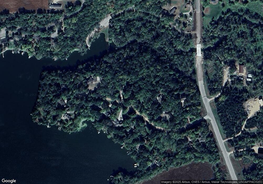
Map
Nearby Homes
- 10848 Porter Ave NW
- 16698 109th St NW
- 14XXX County Road 44
- 10368 Oliver Ave NW
- 10399 Reardon Ave NW
- 13943 102nd St NW
- 13934 101st St NW
- 8537 Pittman Ave NW
- 13496 Campfire Cir
- 2060 Clearwater Forest Dr
- 0 80th St NW
- 125 Cedar St SE
- 148 Cedar St SE
- 118 Cedar St SE
- 847 Walnut Ave SE
- South Tract A TBD County Road 45
- North Tract B TBD County Road 45
- 226 Quill St NE
- 451 Linden Ave E
- 7327 Quinn Ave NW
- Lot 6 112th St NW
- 0 112th St NW
- 15676 112th St NW
- 15735 112th St NW
- 15707 112th St NW
- 15687 112th St NW
- 15626 112th St NW
- 15794 112th St NW
- 15667 112th St NW
- 15600 112th St NW
- 15600 112th St NW
- 15812 112th St NW
- 15647 112th St NW
- 15801 112th St NW
- 15807 112th St NW
- 15605 112th St NW
- 0 Platt Ave Unit 3674113
- 0 Platt Ave Unit 3905883
- 0 Platt Ave Unit 4378108
- 0 Platt Ave Unit 3520400