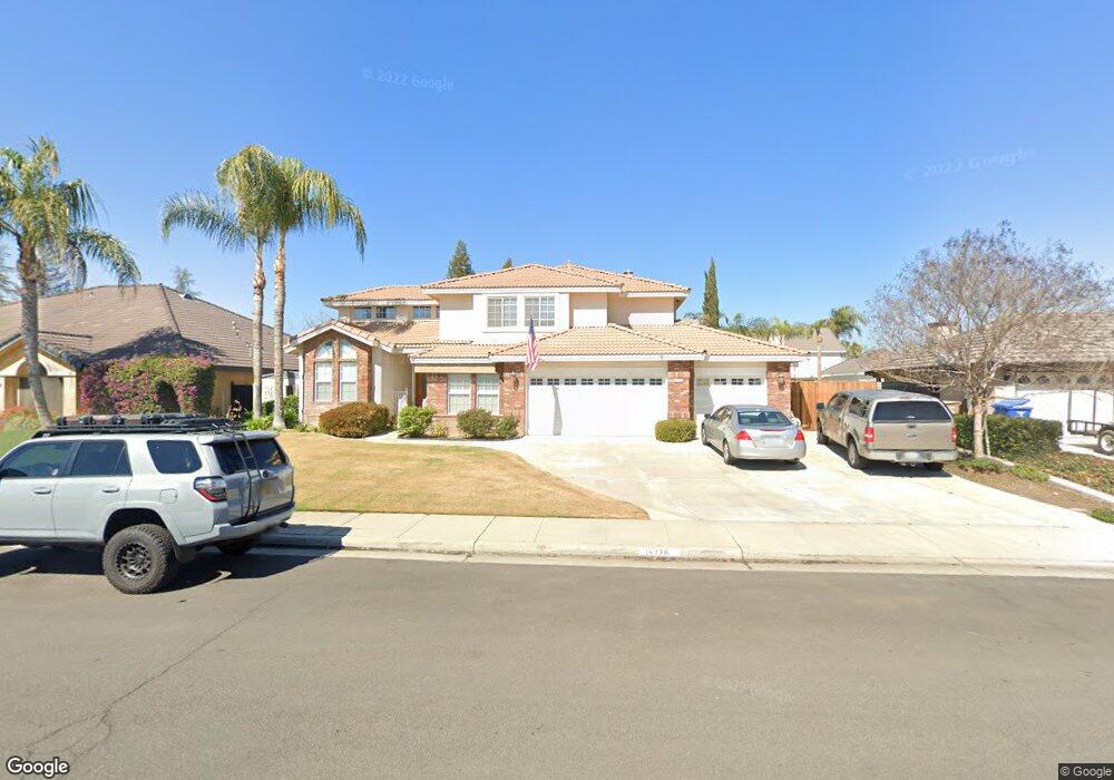
15726 Sammie Ave Unit 2 Bakersfield, CA 93314
Estimated Value: $580,000 - $609,191
4
Beds
3
Baths
1,571
Sq Ft
$377/Sq Ft
Est. Value
About This Home
This home is located at 15726 Sammie Ave Unit 2, Bakersfield, CA 93314 and is currently estimated at $591,798, approximately $376 per square foot. 15726 Sammie Ave Unit 2 is a home located in Kern County with nearby schools including Centennial Elementary School, Rosedale Middle School, and Liberty High School.
Ownership History
Date
Name
Owned For
Owner Type
Purchase Details
Closed on
Aug 7, 1995
Sold by
Epco Ventures Ltd
Bought by
Jackson Timothy B
Current Estimated Value
Home Financials for this Owner
Home Financials are based on the most recent Mortgage that was taken out on this home.
Original Mortgage
$133,000
Interest Rate
7.51%
Purchase Details
Closed on
Jul 6, 1995
Sold by
Jackson Timothy Bryan
Bought by
Pederson Stephen L and Pederson Rita M
Home Financials for this Owner
Home Financials are based on the most recent Mortgage that was taken out on this home.
Original Mortgage
$133,000
Interest Rate
7.51%
Create a Home Valuation Report for This Property
The Home Valuation Report is an in-depth analysis detailing your home's value as well as a comparison with similar homes in the area
Home Values in the Area
Average Home Value in this Area
Purchase History
| Date | Buyer | Sale Price | Title Company |
|---|---|---|---|
| Jackson Timothy B | $60,000 | First American Title Ins Co | |
| Pederson Stephen L | $206,000 | First American Title Ins Co |
Source: Public Records
Mortgage History
| Date | Status | Borrower | Loan Amount |
|---|---|---|---|
| Previous Owner | Pederson Stephen L | $133,000 |
Source: Public Records
Tax History Compared to Growth
Tax History
| Year | Tax Paid | Tax Assessment Tax Assessment Total Assessment is a certain percentage of the fair market value that is determined by local assessors to be the total taxable value of land and additions on the property. | Land | Improvement |
|---|---|---|---|---|
| 2025 | $4,887 | $342,192 | $58,128 | $284,064 |
| 2024 | $4,769 | $335,484 | $56,989 | $278,495 |
| 2023 | $4,769 | $328,907 | $55,872 | $273,035 |
| 2022 | $4,659 | $322,459 | $54,777 | $267,682 |
| 2021 | $4,531 | $316,137 | $53,703 | $262,434 |
| 2020 | $4,450 | $312,897 | $53,153 | $259,744 |
| 2019 | $4,375 | $312,897 | $53,153 | $259,744 |
| 2018 | $4,262 | $300,748 | $51,090 | $249,658 |
| 2017 | $4,191 | $294,852 | $50,089 | $244,763 |
| 2016 | $3,908 | $289,071 | $49,107 | $239,964 |
| 2015 | $3,855 | $284,730 | $48,370 | $236,360 |
| 2014 | $3,769 | $279,154 | $47,423 | $231,731 |
Source: Public Records
Map
Nearby Homes
- 15626 Sammie Ave
- 1933 Kellie Marie St
- 15803 Screaming Eagle Ave
- 2539 Marva Marie Ct
- 15708 Joseph Phelps Ave
- 15733 Joseph Phelps Ave
- 15321 Lake Berryessa Ct
- 15042 Championship Way
- 15027 Henderson Ave
- Plan 2029 at Northpoint
- Plan 2281 at Northpoint
- Plan 2141 at Northpoint
- Plan 1698 at Northpoint
- Plan 2998 at Northpoint
- Plan 2659 at Northpoint
- Plan 2038 at Northpoint
- 8317 Littleton St
- 14942 Championship Way
- 14912 Henderson Ave
- 15918 Clos du Val Ave
- 15800 Sammie Ave
- 15718 Sammie Ave
- 15725 Clarisse St
- 15717 Clarisse St
- 15808 Sammie Ave
- 15801 Clarisse St
- 15727 Sammie Ave
- 15801 Sammie Ave
- 2119 Jared St
- 15809 Clarisse St
- 15702 Sammie Ave Unit 2
- 15816 Sammie Ave
- 15809 Sammie Ave
- 15701 Clarisse St
- 15817 Sammie Ave Unit 2
- 15703 Sammie Ave
- 15825 Clarisse St
- 15824 Sammie Ave
- 15726 Stephenie St Unit 2
- 15724 Clarisse St Unit 1