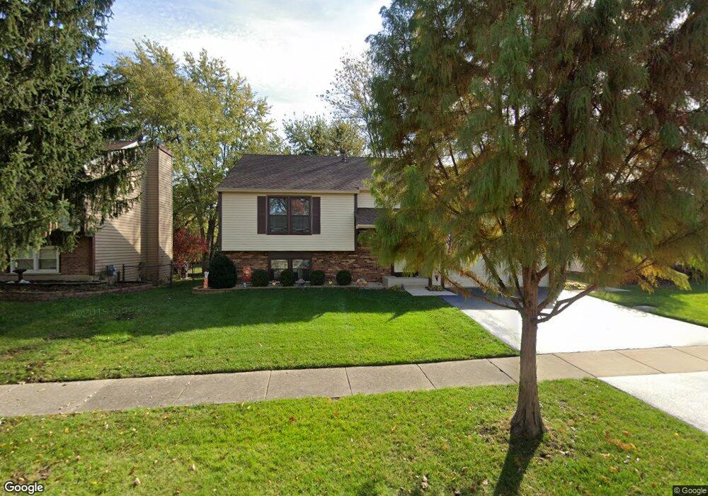
1573 Andover Ave Saint Charles, IL 60174
Southeast Saint Charles NeighborhoodEstimated Value: $369,000 - $399,000
4
Beds
2
Baths
1,100
Sq Ft
$343/Sq Ft
Est. Value
About This Home
This home is located at 1573 Andover Ave, Saint Charles, IL 60174 and is currently estimated at $377,108, approximately $342 per square foot. 1573 Andover Ave is a home located in Kane County with nearby schools including Munhall Elementary School, Wredling Middle School, and St Charles East High School.
Ownership History
Date
Name
Owned For
Owner Type
Purchase Details
Closed on
Aug 23, 1994
Sold by
Coleman Robert F and Coleman Marcia G
Bought by
Saccomando William C and Saccomando Mildred
Current Estimated Value
Home Financials for this Owner
Home Financials are based on the most recent Mortgage that was taken out on this home.
Original Mortgage
$69,750
Interest Rate
8.72%
Create a Home Valuation Report for This Property
The Home Valuation Report is an in-depth analysis detailing your home's value as well as a comparison with similar homes in the area
Home Values in the Area
Average Home Value in this Area
Purchase History
| Date | Buyer | Sale Price | Title Company |
|---|---|---|---|
| Saccomando William C | $153,500 | First American Title Ins Co |
Source: Public Records
Mortgage History
| Date | Status | Borrower | Loan Amount |
|---|---|---|---|
| Closed | Saccomando William C | $69,750 |
Source: Public Records
Tax History
| Year | Tax Paid | Tax Assessment Tax Assessment Total Assessment is a certain percentage of the fair market value that is determined by local assessors to be the total taxable value of land and additions on the property. | Land | Improvement |
|---|---|---|---|---|
| 2024 | $6,637 | $105,403 | $33,516 | $71,887 |
| 2023 | $6,270 | $94,337 | $29,997 | $64,340 |
| 2022 | $6,210 | $87,909 | $33,203 | $54,706 |
| 2021 | $5,937 | $83,795 | $31,649 | $52,146 |
| 2020 | $5,863 | $82,233 | $31,059 | $51,174 |
| 2019 | $5,745 | $80,605 | $30,444 | $50,161 |
| 2018 | $5,398 | $76,074 | $29,286 | $46,788 |
| 2017 | $5,143 | $72,377 | $28,284 | $44,093 |
| 2016 | $5,375 | $69,835 | $27,291 | $42,544 |
| 2015 | -- | $67,264 | $26,997 | $40,267 |
| 2014 | -- | $65,148 | $26,997 | $38,151 |
| 2013 | -- | $67,656 | $27,267 | $40,389 |
Source: Public Records
Map
Nearby Homes
- 1501 Dempsey Dr
- 513 S 13th Ave
- 416 S 12th Ave
- 722 S 9th Ave
- 1210 Wing Ave
- 1452 Walnut Hill Ave
- Lot 2 Geneva Rd
- Lot 1 Geneva Rd
- 730 Persimmon Dr
- 130 Division St
- 885 Geneva Rd
- 1810 Huntington Rd
- 1008 Pine St
- 38 Bluestone Dr
- 1919 Waverly Cir
- 740 Courtyard Dr
- 63 White Oak Cir Unit 63
- 50 S 1st St Unit 5D
- 52 White Oak Cir
- 46 White Oak Cir Unit 2
- 1583 Andover Ave
- 1562 Independence Ct
- 1564 Independence Ct
- 1553 Andover Ave
- 1582 Andover Ave
- 1572 Andover Ave
- 1552 Independence Ct
- 1562 Andover Ave
- 1565 Independence Ct
- 915 Independence Ave
- 985 Munhall Ave
- 905 Independence Ave
- 1552 Andover Ave
- 925 Independence Ave
- 860 Munhall Ave
- 885 Munhall Ave
- 935 Independence Ave
- 1542 Andover Ave
- 850 Munhall Ave
- 1563 Independence Ct
Your Personal Tour Guide
Ask me questions while you tour the home.