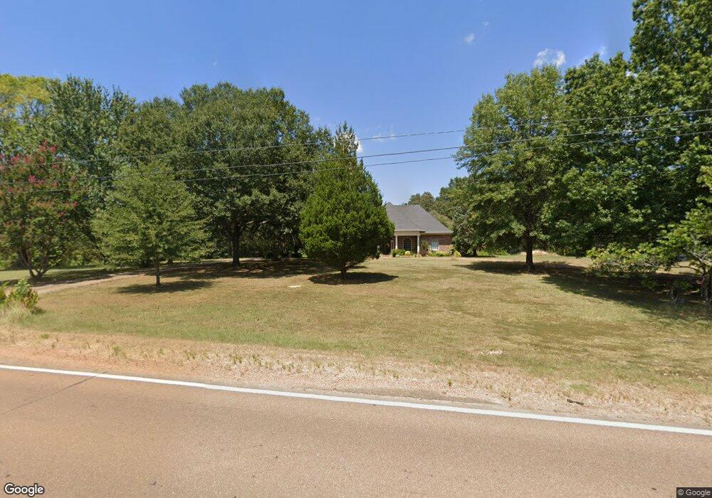
15738 Highway 82 Carrollton, MS 38917
Estimated Value: $319,000 - $369,000
--
Bed
--
Bath
3,013
Sq Ft
$114/Sq Ft
Est. Value
About This Home
This home is located at 15738 Highway 82, Carrollton, MS 38917 and is currently estimated at $342,000, approximately $113 per square foot. 15738 Highway 82 is a home with nearby schools including Marshall Elementary School, J.Z. George High School, and Carroll Academy.
Ownership History
Date
Name
Owned For
Owner Type
Purchase Details
Closed on
Jul 1, 2010
Sold by
Mccaleb Brenda H
Bought by
Mccaleb Mark A
Current Estimated Value
Purchase Details
Closed on
Jun 28, 2010
Sold by
Mccaleb Mark A and Mccaleb Brenda H
Bought by
Mccaleb Brenda H
Create a Home Valuation Report for This Property
The Home Valuation Report is an in-depth analysis detailing your home's value as well as a comparison with similar homes in the area
Home Values in the Area
Average Home Value in this Area
Purchase History
| Date | Buyer | Sale Price | Title Company |
|---|---|---|---|
| Mccaleb Mark A | -- | -- | |
| Mccaleb Brenda H | -- | -- |
Source: Public Records
Tax History Compared to Growth
Tax History
| Year | Tax Paid | Tax Assessment Tax Assessment Total Assessment is a certain percentage of the fair market value that is determined by local assessors to be the total taxable value of land and additions on the property. | Land | Improvement |
|---|---|---|---|---|
| 2024 | $2,561 | $27,372 | $1,502 | $25,870 |
| 2023 | $2,561 | $27,372 | $1,502 | $25,870 |
| 2022 | $2,143 | $23,048 | $1,502 | $21,546 |
| 2021 | $2,143 | $23,048 | $1,502 | $21,546 |
| 2020 | $2,143 | $23,048 | $1,502 | $21,546 |
| 2019 | $2,108 | $23,048 | $1,502 | $21,546 |
| 2018 | $2,134 | $23,302 | $1,502 | $21,800 |
| 2017 | $2,134 | $23,302 | $1,502 | $21,800 |
| 2016 | $2,059 | $23,302 | $1,502 | $21,800 |
| 2015 | $2,059 | $22,552 | $752 | $21,800 |
| 2014 | -- | $3,671 | $794 | $2,877 |
| 2013 | -- | $24,135 | $1,544 | $22,591 |
Source: Public Records
Map
Nearby Homes
- 399 County Road 399
- 4614 County Road 316
- 4637 Cr 316
- 215 County Road 369
- 26 Cr 203
- 514 County Road 352
- 367 County Road 370
- 371 County Road 55
- 201 W Jackson St
- 2038 Cr 41
- 1 County Road 375
- 0 County Road 375
- 250 Jackson St
- 107 Mccain St
- 958 County Road 122
- 0 Hwy 35 N Unit 1 11541050
- 4151 Cr 72
- 0 County Road 143
- 0 County Road 143
- 120 Maple St
- 15768 Highway 82
- 15796 Highway 82
- 15848 Highway 82
- 15506 Highway 82
- 15933 Highway 82
- 15465 Highway 82
- 15340 Highway 82
- 15423 Highway 82
- 15311 Highway 82
- 15328 Highway 82
- 523 County Road 377
- 0 U S Highway 82 Unit 1144984
- 0 U S Highway 82 Unit cr 66 1198931
- 0 U S Highway 82 Unit CR 83
- 633 County Road 378
- 6056 County Road 316
- 520 County Road 378
- 519 County Road 377
- 518 County Road 377
- 16381 Highway 82