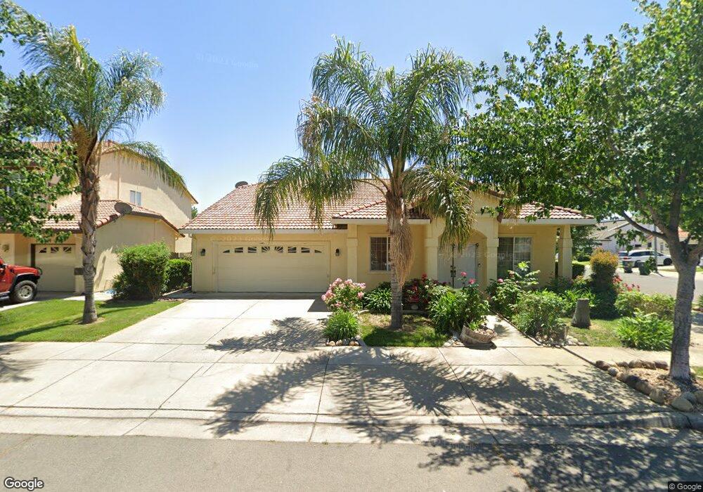
1574 Countryside Dr Yuba City, CA 95993
Estimated Value: $372,000 - $565,000
4
Beds
3
Baths
2,542
Sq Ft
$195/Sq Ft
Est. Value
About This Home
This home is located at 1574 Countryside Dr, Yuba City, CA 95993 and is currently estimated at $494,709, approximately $194 per square foot. 1574 Countryside Dr is a home located in Sutter County with nearby schools including Andros Karperos, River Valley High School, and St. Isidore Catholic School.
Ownership History
Date
Name
Owned For
Owner Type
Purchase Details
Closed on
Mar 23, 2018
Sold by
Singh Samra Jhalman and Singh Samra Jagirto
Bought by
Bhandal Karamdeep
Current Estimated Value
Purchase Details
Closed on
Nov 17, 2002
Sold by
Western Development
Bought by
Tran Truonggiang N and Hoang Long
Home Financials for this Owner
Home Financials are based on the most recent Mortgage that was taken out on this home.
Original Mortgage
$163,200
Interest Rate
5.89%
Create a Home Valuation Report for This Property
The Home Valuation Report is an in-depth analysis detailing your home's value as well as a comparison with similar homes in the area
Home Values in the Area
Average Home Value in this Area
Purchase History
| Date | Buyer | Sale Price | Title Company |
|---|---|---|---|
| Bhandal Karamdeep | -- | None Available | |
| Tran Truonggiang N | $204,500 | First American Title Ins Co |
Source: Public Records
Mortgage History
| Date | Status | Borrower | Loan Amount |
|---|---|---|---|
| Previous Owner | Tran Truonggiang N | $163,200 |
Source: Public Records
Tax History Compared to Growth
Tax History
| Year | Tax Paid | Tax Assessment Tax Assessment Total Assessment is a certain percentage of the fair market value that is determined by local assessors to be the total taxable value of land and additions on the property. | Land | Improvement |
|---|---|---|---|---|
| 2025 | $3,679 | $295,435 | $57,921 | $237,514 |
| 2024 | $3,679 | $289,643 | $56,786 | $232,857 |
| 2023 | $3,679 | $283,965 | $55,673 | $228,292 |
| 2022 | $3,560 | $278,398 | $54,582 | $223,816 |
| 2021 | $3,486 | $272,962 | $53,522 | $219,440 |
| 2020 | $3,430 | $270,163 | $52,973 | $217,190 |
| 2019 | $3,343 | $264,865 | $51,934 | $212,931 |
| 2018 | $3,286 | $259,672 | $50,916 | $208,756 |
| 2017 | $3,305 | $254,580 | $49,918 | $204,662 |
| 2016 | $3,156 | $249,588 | $48,939 | $200,649 |
| 2015 | $3,123 | $245,839 | $48,204 | $197,635 |
| 2014 | $2,928 | $230,000 | $35,000 | $195,000 |
Source: Public Records
Map
Nearby Homes
- 1514 Countryside Dr
- 1545 Camino Del Oro
- 1665 Michelle Dr
- 1571 Holly Tree Dr
- 170 Nantucket Way
- 138 Nantucket Way
- 152 College Hill Way
- 430 Neil Dr
- 238 Anita Way
- 1781 Franklin Rd Unit 36
- 1781 Franklin Rd Unit 59
- 156 Bristol Way
- 1344 Kean Ave
- 1330 Kean Ave
- 1955 Jason Ct
- 1421 Richland Rd
- 1923 Hardial Dr
- 1196 Hunn Rd
- 285 S Barrett Rd
- 353 N Lawrence Ave
- 1564 Countryside Dr
- 1571 Berkshire Dr
- 1604 Countryside Dr
- 1561 Berkshire Dr
- 1554 Countryside Dr
- 1614 Countryside Dr
- 1573 Countryside Dr
- 1563 Countryside Dr
- 1594 Countryside Dr
- 1551 Berkshire Dr
- 1624 Countryside Dr
- 1583 Countryside Dr
- 1553 Countryside Dr
- 1544 Countryside Dr
- 1541 Berkshire Dr
- 1543 Countryside Dr
- 1572 Berkshire Dr
- 1562 Berkshire Dr
- 1534 Countryside Dr
- 1582 Berkshire Dr