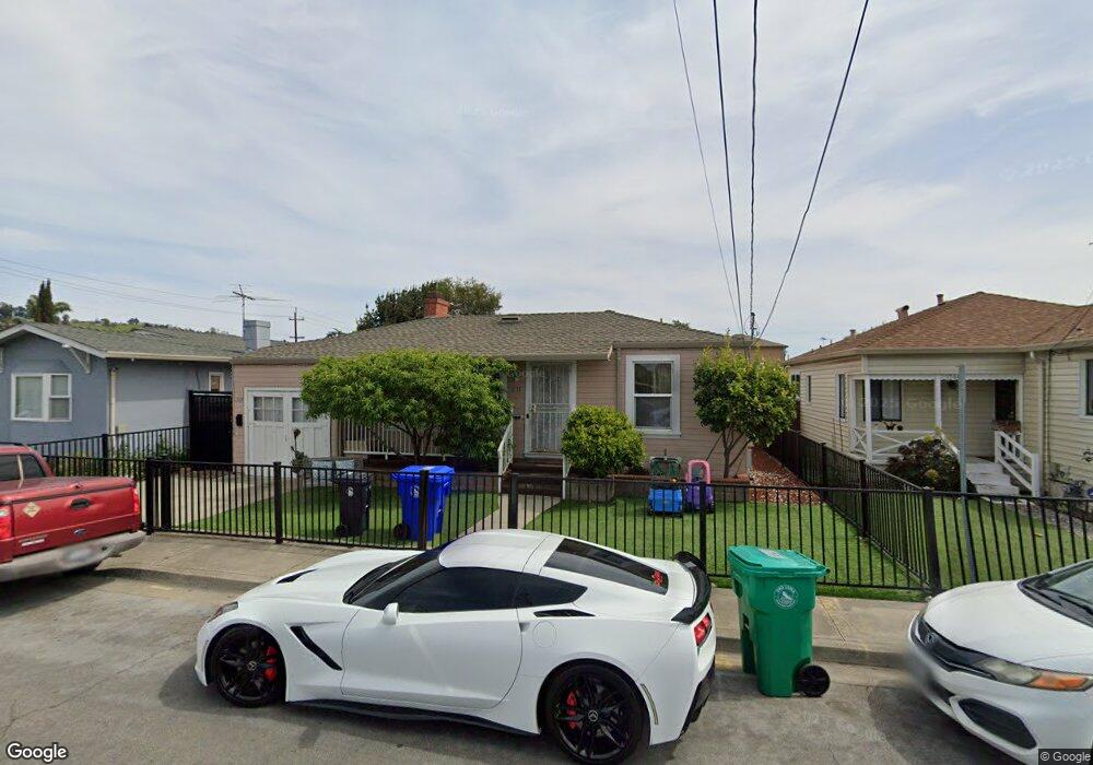
1574 Fir Ave San Leandro, CA 94578
Estimated Value: $695,000 - $886,288
3
Beds
2
Baths
1,189
Sq Ft
$665/Sq Ft
Est. Value
About This Home
This home is located at 1574 Fir Ave, San Leandro, CA 94578 and is currently estimated at $790,644, approximately $664 per square foot. 1574 Fir Ave is a home located in Alameda County with nearby schools including Corvallis Elementary School, Edendale Middle, and San Lorenzo High School.
Ownership History
Date
Name
Owned For
Owner Type
Purchase Details
Closed on
Oct 17, 2001
Sold by
Maciel Francisco
Bought by
Gil Jose A and Gil Yolanda
Current Estimated Value
Home Financials for this Owner
Home Financials are based on the most recent Mortgage that was taken out on this home.
Original Mortgage
$137,136
Interest Rate
6.87%
Mortgage Type
Commercial
Purchase Details
Closed on
Dec 13, 1996
Sold by
Goyert Donald G and Goyert Susan D
Bought by
Gil Jose A and Gil Yolanda
Home Financials for this Owner
Home Financials are based on the most recent Mortgage that was taken out on this home.
Original Mortgage
$137,750
Interest Rate
7.58%
Mortgage Type
Commercial
Create a Home Valuation Report for This Property
The Home Valuation Report is an in-depth analysis detailing your home's value as well as a comparison with similar homes in the area
Home Values in the Area
Average Home Value in this Area
Purchase History
| Date | Buyer | Sale Price | Title Company |
|---|---|---|---|
| Gil Jose A | -- | Fidelity National Title Co | |
| Gil Jose A | $145,000 | Golden California Title Co |
Source: Public Records
Mortgage History
| Date | Status | Borrower | Loan Amount |
|---|---|---|---|
| Closed | Gil Jose A | $137,136 | |
| Previous Owner | Gil Jose A | $137,750 |
Source: Public Records
Tax History Compared to Growth
Tax History
| Year | Tax Paid | Tax Assessment Tax Assessment Total Assessment is a certain percentage of the fair market value that is determined by local assessors to be the total taxable value of land and additions on the property. | Land | Improvement |
|---|---|---|---|---|
| 2025 | $4,917 | $305,150 | $90,552 | $214,598 |
| 2024 | $4,917 | $299,168 | $88,777 | $210,391 |
| 2023 | $4,928 | $293,303 | $87,036 | $206,267 |
| 2022 | $4,819 | $287,552 | $85,330 | $202,222 |
| 2021 | $4,664 | $281,915 | $83,657 | $198,258 |
| 2020 | $4,533 | $279,024 | $82,799 | $196,225 |
| 2019 | $4,506 | $273,555 | $81,176 | $192,379 |
| 2018 | $4,229 | $268,192 | $79,585 | $188,607 |
| 2017 | $4,041 | $262,935 | $78,025 | $184,910 |
| 2016 | $3,855 | $257,780 | $76,495 | $181,285 |
| 2015 | $3,763 | $253,909 | $75,346 | $178,563 |
| 2014 | $3,707 | $248,937 | $73,871 | $175,066 |
Source: Public Records
Map
Nearby Homes
- 14972 Lark St
- 14973 Patton Ave
- 14955 Lark St
- 1426 153rd Ave
- 14960 Portofino Cir
- 0 Saturn Dr
- 15683 Liberty St
- 1525 Thrush Ave
- 2230 Sol St
- 14625 Bancroft Ave
- 1540 Mono Ave
- 1112 Adason Dr
- 1939 Placer Dr
- 15806 Maubert Ave
- 14683 Midland Rd
- 15925 Maubert Ave Unit 2
- 1507 Green Ct
- 2290 Upland Rd
- 15956 E 14th St Unit 303
- 15860 Connolly Ave