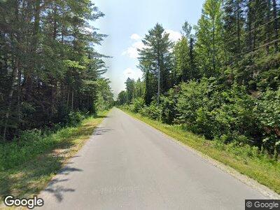
1574 Mattamiscontis Rd Mattamiscontis Township, ME 04457
Estimated Value: $230,904 - $539,000
--
Bed
--
Bath
--
Sq Ft
2.9
Acres
About This Home
This home is located at 1574 Mattamiscontis Rd, Mattamiscontis Township, ME 04457 and is currently estimated at $382,968. 1574 Mattamiscontis Rd is a home.
Ownership History
Date
Name
Owned For
Owner Type
Purchase Details
Closed on
Aug 31, 2011
Sold by
Coburn Jonathon G and Coburn Kristin S
Bought by
Harper Corey A and Harper Lea A
Current Estimated Value
Home Financials for this Owner
Home Financials are based on the most recent Mortgage that was taken out on this home.
Original Mortgage
$175,437
Interest Rate
4.62%
Mortgage Type
FHA
Purchase Details
Closed on
Sep 28, 2006
Sold by
Macleod John H and Macleod Lisa
Bought by
Coburn Jonathan G and Coburn Kristin S
Create a Home Valuation Report for This Property
The Home Valuation Report is an in-depth analysis detailing your home's value as well as a comparison with similar homes in the area
Home Values in the Area
Average Home Value in this Area
Purchase History
| Date | Buyer | Sale Price | Title Company |
|---|---|---|---|
| Harper Corey A | -- | -- | |
| Coburn Jonathan G | -- | -- |
Source: Public Records
Mortgage History
| Date | Status | Borrower | Loan Amount |
|---|---|---|---|
| Open | Harper Corey A | $139,000 | |
| Closed | Harper Corey A | $175,437 | |
| Previous Owner | Coburn Jonathan G | $25,000 |
Source: Public Records
Tax History Compared to Growth
Tax History
| Year | Tax Paid | Tax Assessment Tax Assessment Total Assessment is a certain percentage of the fair market value that is determined by local assessors to be the total taxable value of land and additions on the property. | Land | Improvement |
|---|---|---|---|---|
| 2024 | $2,373 | $261,030 | $25,810 | $235,220 |
| 2023 | $2,283 | $253,930 | $21,510 | $232,420 |
| 2022 | $2,097 | $253,930 | $21,510 | $232,420 |
| 2021 | $2,290 | $253,930 | $21,510 | $232,420 |
| 2020 | $2,257 | $253,930 | $21,510 | $232,420 |
| 2019 | $2,017 | $229,440 | $15,810 | $213,630 |
| 2018 | $1,501 | $229,440 | $15,810 | $213,630 |
| 2017 | $1,854 | $229,440 | $15,810 | $213,630 |
| 2016 | $1,783 | $229,440 | $15,810 | $213,630 |
| 2015 | $1,777 | $213,360 | $15,550 | $197,810 |
| 2014 | $1,848 | $213,360 | $15,550 | $197,810 |
Source: Public Records
Map
Nearby Homes
- 1574 Mattamiscontis Rd
- 1197 Mattamiscontis Rd
- Lot 1 Route 116
- TBD Route 116 Route
- Lot 2 Rt 116
- 00 Mattamiscontis Rd
- On Mattamiscontis Rd
- 1713 Mattamiscontis Rd
- 746 Mohawk Rd
- 772 Mohawk Rd
- 887 W Broadway
- 760 Mohawk Rd
- 816 W Broadway
- 850 W Broadway
- 740 Mohawk Rd
- 870 W Broadway
- 796 W Broadway
- 0 Station Rd Unit 417793
- 0 Station Rd Unit 373223
- 0 Station Rd Unit 869566
