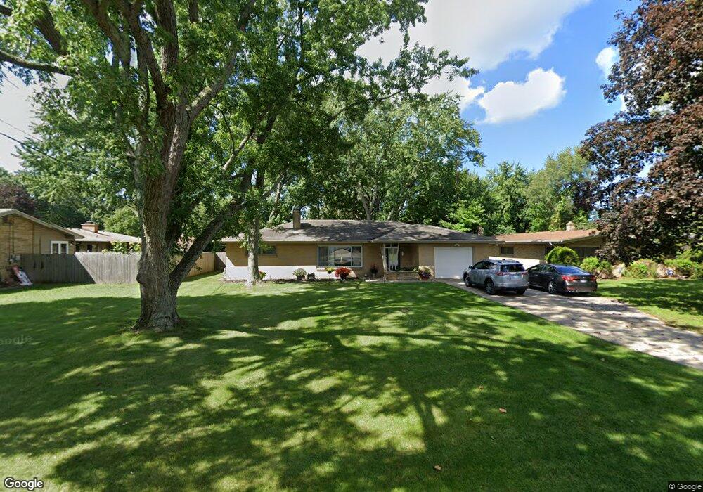
1574 Shawnee Rd Benton Harbor, MI 49022
Fair Plain NeighborhoodEstimated Value: $218,000 - $241,000
3
Beds
2
Baths
1,386
Sq Ft
$167/Sq Ft
Est. Value
About This Home
This home is located at 1574 Shawnee Rd, Benton Harbor, MI 49022 and is currently estimated at $231,555, approximately $167 per square foot. 1574 Shawnee Rd is a home located in Berrien County with nearby schools including Fair Plain Middle School, Benton Harbor High School, and Benton Harbor Charter School Academy.
Ownership History
Date
Name
Owned For
Owner Type
Purchase Details
Closed on
Apr 18, 2007
Sold by
Evans Johnny D
Bought by
Evans Alfreda and Evans Johnny D
Current Estimated Value
Purchase Details
Closed on
Nov 24, 2003
Sold by
Evans Bobbie F
Bought by
Evans Johnny D
Purchase Details
Closed on
Jul 31, 1991
Purchase Details
Closed on
Mar 18, 1988
Purchase Details
Closed on
Sep 1, 1976
Create a Home Valuation Report for This Property
The Home Valuation Report is an in-depth analysis detailing your home's value as well as a comparison with similar homes in the area
Home Values in the Area
Average Home Value in this Area
Purchase History
| Date | Buyer | Sale Price | Title Company |
|---|---|---|---|
| Evans Alfreda | -- | None Available | |
| Evans Johnny D | -- | -- | |
| -- | $66,300 | -- | |
| -- | -- | -- | |
| -- | $23,000 | -- |
Source: Public Records
Tax History Compared to Growth
Tax History
| Year | Tax Paid | Tax Assessment Tax Assessment Total Assessment is a certain percentage of the fair market value that is determined by local assessors to be the total taxable value of land and additions on the property. | Land | Improvement |
|---|---|---|---|---|
| 2025 | $1,692 | $104,100 | $0 | $0 |
| 2024 | $1,009 | $83,800 | $0 | $0 |
| 2023 | $961 | $62,900 | $0 | $0 |
| 2022 | $915 | $59,300 | $0 | $0 |
| 2021 | $1,479 | $61,700 | $11,300 | $50,400 |
| 2020 | $1,378 | $61,400 | $0 | $0 |
| 2019 | $1,316 | $51,900 | $5,400 | $46,500 |
| 2018 | $1,245 | $51,900 | $0 | $0 |
| 2017 | $1,227 | $50,000 | $0 | $0 |
| 2016 | $1,194 | $49,600 | $0 | $0 |
| 2015 | $1,191 | $46,100 | $0 | $0 |
| 2014 | $815 | $48,200 | $0 | $0 |
Source: Public Records
Map
Nearby Homes
- 290 Bradford Rd
- 379 Western Ave
- 513 N Ottawa Rd
- 424 W Napier Ave
- 484 W Napier Ave
- 1565 Miami Rd
- 235 Fisk Rd
- 1803 Heath Ct
- 401 Hoover Ave
- 1510 Moccasin Trail
- 180 Emery Ave
- 1235 Colfax Ave
- 304 W May St
- 1525 Moccasin Trail
- 202 Searles Ave
- 1267 Broadway
- 1762 Smyers Dr
- 1332 Columbus Ave
- 1000 Riverview Dr Unit 11
- 1606 Stanley Dr
- 1554 Shawnee Rd
- 1594 Shawnee Rd
- 1535 Maumee Rd
- 431 Chippewa Rd
- 400 Bradford Rd
- 1540 Shawnee Rd
- 414 Bradford Rd
- 1545 Maumee Rd
- 1573 Shawnee Rd
- 451 Chippewa Rd
- 349 Chippewa Rd
- 1555 Shawnee Rd
- 428 Bradford Rd
- 0 Chippewa Rd
- 1545 Shawnee Rd
- 400 Chippewa Rd
- 366 Bradford Rd
- 452 Chippewa Rd
- 335 Chippewa Rd
- 1536 Maumee Rd