15765 Eisenhower Rd Leavenworth, KS 66048
Estimated Value: $517,879 - $562,000
3
Beds
3
Baths
2,222
Sq Ft
$244/Sq Ft
Est. Value
About This Home
This home is located at 15765 Eisenhower Rd, Leavenworth, KS 66048 and is currently estimated at $541,293, approximately $243 per square foot. 15765 Eisenhower Rd is a home located in Leavenworth County with nearby schools including Lansing Elementary School, Lansing Middle 6-8, and Lansing High 9-12.
Ownership History
Date
Name
Owned For
Owner Type
Purchase Details
Closed on
Jul 21, 2021
Sold by
Montgomery Robert R and Montgomery Deannel
Bought by
Montgomery Family Living Trust
Current Estimated Value
Purchase Details
Closed on
Jul 1, 1992
Bought by
Montgomery Robert R and Montgomery Deanne L
Home Financials for this Owner
Home Financials are based on the most recent Mortgage that was taken out on this home.
Original Mortgage
$110,000
Interest Rate
8.43%
Mortgage Type
New Conventional
Create a Home Valuation Report for This Property
The Home Valuation Report is an in-depth analysis detailing your home's value as well as a comparison with similar homes in the area
Home Values in the Area
Average Home Value in this Area
Purchase History
| Date | Buyer | Sale Price | Title Company |
|---|---|---|---|
| Montgomery Family Living Trust | -- | Bates G Ronald | |
| Montgomery Robert R | $27,500 | -- |
Source: Public Records
Mortgage History
| Date | Status | Borrower | Loan Amount |
|---|---|---|---|
| Previous Owner | Montgomery Robert R | $110,000 |
Source: Public Records
Tax History Compared to Growth
Tax History
| Year | Tax Paid | Tax Assessment Tax Assessment Total Assessment is a certain percentage of the fair market value that is determined by local assessors to be the total taxable value of land and additions on the property. | Land | Improvement |
|---|---|---|---|---|
| 2025 | $7,196 | $54,778 | $8,361 | $46,417 |
| 2024 | $6,661 | $52,952 | $10,215 | $42,737 |
| 2023 | $6,661 | $50,979 | $10,206 | $40,773 |
| 2022 | $6,128 | $44,375 | $6,545 | $37,830 |
| 2021 | $5,908 | $40,914 | $5,675 | $35,239 |
| 2020 | $5,585 | $38,073 | $5,443 | $32,630 |
| 2019 | $5,489 | $37,372 | $5,089 | $32,283 |
| 2018 | $5,176 | $35,276 | $5,097 | $30,179 |
| 2017 | $5,069 | $34,474 | $5,088 | $29,386 |
| 2016 | $4,881 | $33,194 | $5,085 | $28,109 |
| 2015 | $4,714 | $32,161 | $5,079 | $27,082 |
| 2014 | $4,502 | $31,363 | $5,076 | $26,287 |
Source: Public Records
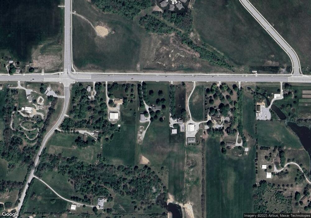
Map
Nearby Homes
- 15915 Eisenhower Rd
- 16055 W Eisenhower Rd
- 1605 Shadow Dr
- 0000 Eisenhower Rd
- 4421 Grand Ct
- 1023 Ironwood Ct
- 4301 Ironwood Dr
- 2151 Shenandoah Dr
- 2150 Shenandoah Dr
- 728 Eisenhower Rd
- 4606 Park Ln
- 3703 Clayton Dr
- 749 Highland Dr
- 1013 Sycamore Ridge Dr
- 1320 Independence Ct
- 3804 Garland Ave
- 3225 Meadow Rd
- 108 Woodmoor Ct Unit Lot 100
- 4036 Shrine Park Rd
- 542 Creekside Ct
- 15749 Eisenhower Rd
- 15795 Eisenhower Rd
- 15675 Eisenhower Rd
- 15863 Eisenhower Rd
- 27028 New Lawrence Dr
- 15639 Eisenhower Rd
- 4937 Shady Bend Rd
- 4933 Shady Bend Rd
- 4932 Shady Bend Rd
- 15921 Eisenhower Rd
- 27010 New Lawrence Dr
- 4929 Shady Bend Rd
- 4928 Shady Bend Rd
- 4924 Shady Bend Rd
- 4925 Shady Bend Rd
- 4933 Tallgrass St
- 4921 Shady Bend Rd
- 4920 Shady Bend Rd
- 4929 Tallgrass St
- 15960 Eisenhower Rd