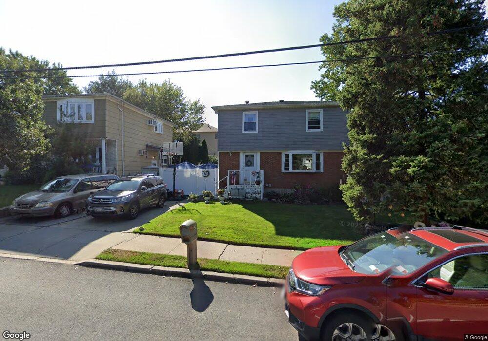
1578 Drumgoole Rd E Staten Island, NY 10309
Prince's Bay NeighborhoodEstimated Value: $705,814 - $804,000
--
Bed
4
Baths
1,344
Sq Ft
$569/Sq Ft
Est. Value
About This Home
This home is located at 1578 Drumgoole Rd E, Staten Island, NY 10309 and is currently estimated at $764,454, approximately $568 per square foot. 1578 Drumgoole Rd E is a home located in Richmond County with nearby schools including P.S. 3 - The Margaret Gioiosa School, I.S. 007 Elias Bernstein, and Tottenville High School.
Ownership History
Date
Name
Owned For
Owner Type
Purchase Details
Closed on
Jul 18, 2003
Sold by
Young Charles F and Estate Of Doreen Kenny
Bought by
Stissi Anthony and Stissi Kelly Ann
Current Estimated Value
Home Financials for this Owner
Home Financials are based on the most recent Mortgage that was taken out on this home.
Original Mortgage
$292,500
Interest Rate
6.03%
Mortgage Type
Purchase Money Mortgage
Create a Home Valuation Report for This Property
The Home Valuation Report is an in-depth analysis detailing your home's value as well as a comparison with similar homes in the area
Home Values in the Area
Average Home Value in this Area
Purchase History
| Date | Buyer | Sale Price | Title Company |
|---|---|---|---|
| Stissi Anthony | $325,000 | First American Title Insuran |
Source: Public Records
Mortgage History
| Date | Status | Borrower | Loan Amount |
|---|---|---|---|
| Closed | Stissi Anthony | $292,500 |
Source: Public Records
Tax History Compared to Growth
Tax History
| Year | Tax Paid | Tax Assessment Tax Assessment Total Assessment is a certain percentage of the fair market value that is determined by local assessors to be the total taxable value of land and additions on the property. | Land | Improvement |
|---|---|---|---|---|
| 2025 | $8,139 | $40,980 | $14,185 | $26,795 |
| 2024 | $8,139 | $43,740 | $12,897 | $30,843 |
| 2023 | $7,765 | $38,232 | $12,458 | $25,774 |
| 2022 | $7,364 | $38,580 | $13,920 | $24,660 |
| 2021 | $7,324 | $34,800 | $13,920 | $20,880 |
| 2020 | $7,430 | $35,100 | $13,920 | $21,180 |
| 2019 | $7,065 | $35,940 | $13,920 | $22,020 |
| 2018 | $6,495 | $31,860 | $13,920 | $17,940 |
| 2017 | $6,366 | $31,227 | $13,516 | $17,711 |
| 2016 | $5,889 | $29,460 | $13,920 | $15,540 |
| 2015 | $5,736 | $30,522 | $11,372 | $19,150 |
| 2014 | $5,736 | $29,890 | $11,137 | $18,753 |
Source: Public Records
Map
Nearby Homes
- 190 Parkwood Ave
- 634 Darlington Ave
- 436 Ashland Ave
- 274 Ashland Ave
- 15 Minturn Ave
- 1047 Edgegrove Ave
- 299 Foster Rd
- 1051 Edgegrove Ave
- 61 Queensdale St
- 93 Wheeling Ave
- 518 Bradford Ave
- 987 Ionia Ave
- 37 Depew Place
- 21 Boynton St
- 239 Vernon Ave
- 5975 Amboy Rd
- 5639 Amboy Rd
- 872 Edgegrove Ave
- 5635 Amboy Rd
- 840 Ionia Ave
- 1574 Drumgoole Rd E
- 1584 Drumgoole Rd E
- 355 Bradford Ave
- 1568 Drumgoole Rd E
- 351 Bradford Ave
- 363 Bradford Ave
- 1566 Drumgoole Rd E
- 1562 Drumgoole Rd E
- 345 Bradford Ave
- 358 Bradford Ave
- 1558 Drumgoole Rd E
- 1558 Drumgoole Rd E
- 1560 Drumgoole Rd E
- 337 Bradford Ave
- 1552 Drumgoole Rd E
- 354 Bradford Ave
- 356 Bradford Ave
- 333 Bradford Ave
- 383 Bradford Ave
- 366 Bradford Ave