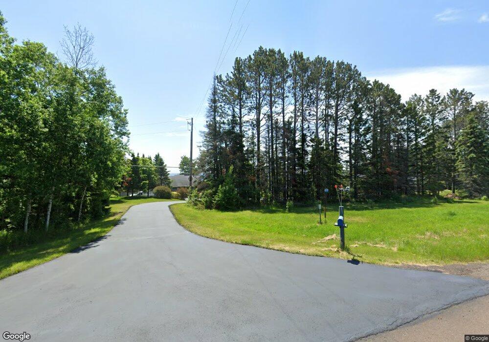
1578 Highway 61 Two Harbors, MN 55616
Estimated Value: $495,000 - $916,787
3
Beds
2
Baths
1,488
Sq Ft
$489/Sq Ft
Est. Value
About This Home
This home is located at 1578 Highway 61, Two Harbors, MN 55616 and is currently estimated at $727,197, approximately $488 per square foot. 1578 Highway 61 is a home located in Lake County with nearby schools including Minnehaha Elementary School, Two Harbors Secondary, and Northwoods Christian Academy.
Ownership History
Date
Name
Owned For
Owner Type
Purchase Details
Closed on
Jul 23, 2020
Sold by
Lee Douglas G and Lee Jane A
Bought by
Bellrichard Tod and Bellrichard Margaret
Current Estimated Value
Purchase Details
Closed on
Nov 18, 2017
Sold by
Lee Douglas and Lee Jane
Bought by
Lee Douglas and Lee Jane
Home Financials for this Owner
Home Financials are based on the most recent Mortgage that was taken out on this home.
Original Mortgage
$354,971
Interest Rate
3.88%
Mortgage Type
FHA
Purchase Details
Closed on
Jun 1, 2009
Sold by
Ramquist Barbara J and Eaton John G
Bought by
Ramquist Barbara J and Eaton John G
Purchase Details
Closed on
May 27, 1998
Sold by
Ramquist Barbara J and Eaton John G
Bought by
Lee Douglas and Lee Jane
Create a Home Valuation Report for This Property
The Home Valuation Report is an in-depth analysis detailing your home's value as well as a comparison with similar homes in the area
Home Values in the Area
Average Home Value in this Area
Purchase History
| Date | Buyer | Sale Price | Title Company |
|---|---|---|---|
| Bellrichard Tod | $875,000 | None Available | |
| Lee Douglas | -- | -- | |
| Ramquist Barbara J | -- | None Available | |
| Lee Douglas | $662,500 | None Available |
Source: Public Records
Mortgage History
| Date | Status | Borrower | Loan Amount |
|---|---|---|---|
| Previous Owner | Lee Douglas | $354,971 |
Source: Public Records
Tax History Compared to Growth
Tax History
| Year | Tax Paid | Tax Assessment Tax Assessment Total Assessment is a certain percentage of the fair market value that is determined by local assessors to be the total taxable value of land and additions on the property. | Land | Improvement |
|---|---|---|---|---|
| 2025 | $3,832 | $499,800 | $222,200 | $277,600 |
| 2024 | $2,203 | $496,800 | $224,000 | $272,800 |
| 2023 | $2,073 | $430,300 | $161,500 | $268,800 |
| 2022 | $2,848 | $366,800 | $149,000 | $217,800 |
| 2021 | $2,787 | $257,900 | $149,000 | $108,900 |
| 2020 | $3,051 | $251,600 | $149,000 | $102,600 |
| 2019 | $1,024 | $106,200 | $25,400 | $80,800 |
| 2018 | $1,050 | $106,200 | $25,400 | $80,800 |
| 2017 | $1,001 | $106,300 | $25,500 | $80,800 |
| 2016 | $934 | $107,200 | $25,500 | $81,700 |
| 2015 | $997 | $98,700 | $24,100 | $74,600 |
| 2014 | $997 | $0 | $0 | $0 |
| 2013 | $925 | $0 | $0 | $0 |
| 2012 | $883 | $0 | $0 | $0 |
Source: Public Records
Map
Nearby Homes
- 1563 Highway 61
- 1603 Superior Shores Dr Unit 49
- 1611 #57B Superior Shores Unit 1/8 Interval Ownersh
- 1621 #71 Superior Shores Unit 1/8 fractional owner
- 1624 #85 Superior Shores Unit 1/8 fractional owner
- 1567 Superior Shores Dr Unit 27
- 1621 Superior Shores Dr Unit 71
- 1555 Superior Shores Dr Unit 15
- 1594 Superior Shores Dr Unit 111
- 1611 Superior Shores Dr Unit 57B
- 1611 Superior Shores Dr Unit 57A
- 1540 #53 Superior Shores Unit 1/8 Fractional Owner
- 1616 Superior Shores Dr Unit 101
- 1690 Highway 61
- 1412 #5-302a Burlington Rd
- 1412 #5-202a Burlington Rd
- 1412 #5-404a Burlington Rd
- 1412 #5-207a Burlington Rd
- 1412 #5-104a Burlington Rd
- 1412 Burlington Rd Unit 3-203A
- 1578 Highway 61
- 1578 Highway 61
- 1578 Highway 61
- 1578 Highway 61
- 1578 Highway 61
- 1577 Highway 61
- 1586 Highway 61
- 1586 Highway 61
- 1586 Highway 61
- 1586 Highway 61
- 1586 Highway 61
- 1586 Highway 61
- 1566 Highway 61
- 1566 Highway 61
- 1566 Highway 61
- 1588 Highway 61
- 1573 Highway 61
- 1594 Highway 61
- 1569 Highway 61
- 1569 Highway 61