1578 Highway K Saint Clair, MO 63077
Estimated Value: $332,865 - $509,000
5
Beds
3
Baths
2,414
Sq Ft
$170/Sq Ft
Est. Value
About This Home
This home is located at 1578 Highway K, Saint Clair, MO 63077 and is currently estimated at $409,466, approximately $169 per square foot. 1578 Highway K is a home located in Franklin County with nearby schools including St. Clair Elementary School, Edgar Murray Elementary School, and St. Clair Junior High School.
Ownership History
Date
Name
Owned For
Owner Type
Purchase Details
Closed on
Sep 2, 2008
Sold by
Curtis Lenny R and Curtis Virginia K
Bought by
Baty Darrin E and Baty Rhonda S
Current Estimated Value
Home Financials for this Owner
Home Financials are based on the most recent Mortgage that was taken out on this home.
Original Mortgage
$194,000
Outstanding Balance
$128,103
Interest Rate
6.54%
Mortgage Type
New Conventional
Estimated Equity
$281,363
Purchase Details
Closed on
May 18, 2007
Sold by
Greco Shirley A
Bought by
Curtis Lenny R and Curtis Virginia K
Home Financials for this Owner
Home Financials are based on the most recent Mortgage that was taken out on this home.
Original Mortgage
$19,000
Interest Rate
6.16%
Mortgage Type
Purchase Money Mortgage
Create a Home Valuation Report for This Property
The Home Valuation Report is an in-depth analysis detailing your home's value as well as a comparison with similar homes in the area
Home Values in the Area
Average Home Value in this Area
Purchase History
| Date | Buyer | Sale Price | Title Company |
|---|---|---|---|
| Baty Darrin E | -- | None Available | |
| Curtis Lenny R | -- | None Available |
Source: Public Records
Mortgage History
| Date | Status | Borrower | Loan Amount |
|---|---|---|---|
| Open | Baty Darrin E | $194,000 | |
| Previous Owner | Curtis Lenny R | $19,000 |
Source: Public Records
Tax History
| Year | Tax Paid | Tax Assessment Tax Assessment Total Assessment is a certain percentage of the fair market value that is determined by local assessors to be the total taxable value of land and additions on the property. | Land | Improvement |
|---|---|---|---|---|
| 2025 | $2,015 | $33,285 | $0 | $0 |
| 2024 | $2,015 | $29,474 | $0 | $0 |
| 2023 | $1,607 | $29,474 | $0 | $0 |
| 2022 | $1,534 | $28,035 | $0 | $0 |
| 2021 | $1,541 | $28,214 | $0 | $0 |
| 2020 | $1,449 | $25,450 | $0 | $0 |
| 2019 | $1,436 | $25,450 | $0 | $0 |
| 2018 | $1,390 | $24,321 | $0 | $0 |
| 2017 | $1,389 | $24,321 | $0 | $0 |
| 2016 | $1,342 | $23,470 | $0 | $0 |
| 2015 | $1,232 | $23,470 | $0 | $0 |
| 2014 | $1,251 | $23,761 | $0 | $0 |
Source: Public Records
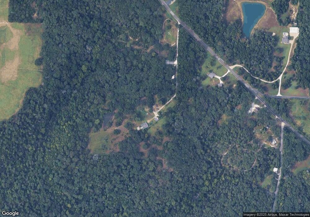
Map
Nearby Homes
- 370 Hencken Hollow Ln
- 2390 Wrights Lodge Rd
- 1638 Neff Rd
- 614 T-Box Dr
- 0 Gravois Rd Unit 11555468
- 322 Cart Path Ln
- 622 Elk Run
- 1420 Sandpiper Dr
- 111 Wrenwood Dr
- 0 Crescent Lake Rd Unit MIS25079528
- 445 Lakeshore Dr
- 1008 Cathy Cir
- 1557 Mill Hill Rd
- 440 Lake Shore Dr
- 830 Walton St
- 505 Rosehill Ln
- 0 Oakwood Dr
- 325 Iris Ct
- 4462 N Virginia Mines Rd
- 235 E Oak St
- 1584 Highway K
- 1612 Highway K
- 1846 Whispering Oaks Dr
- 1602 Highway K
- 1618 Highway K
- 1618 Highway K
- 1547 Highway K
- 1636 Highway K
- 2157 Wrights Lodge Rd Unit 59
- 2111 Wrights Lodge Rd
- 2125 Wrights Lodge Rd
- 1535 Highway K
- 2135 Wrights Lodge Rd
- 1506 Highway K
- 1513 Highway K
- 2217 Wrights Lodge Rd
- 2221 Wrights Lodge Rd
- 1711 Green Ln
- 1717 Green Ln
- 2227 Wrights Lodge Rd Unit 2233
Your Personal Tour Guide
Ask me questions while you tour the home.