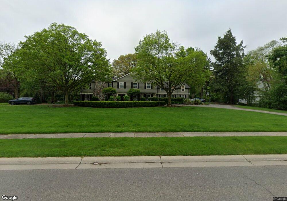
1578 N Cranbrook Rd Bloomfield Hills, MI 48301
Estimated Value: $2,274,000 - $2,626,000
5
Beds
7
Baths
5,346
Sq Ft
$459/Sq Ft
Est. Value
About This Home
This home is located at 1578 N Cranbrook Rd, Bloomfield Hills, MI 48301 and is currently estimated at $2,452,571, approximately $458 per square foot. 1578 N Cranbrook Rd is a home located in Oakland County with nearby schools including Quarton Elementary, Derby Middle School, and Ernest W. Seaholm High School.
Ownership History
Date
Name
Owned For
Owner Type
Purchase Details
Closed on
Jul 22, 2010
Sold by
Mays Christopher J and Mays Nicole
Bought by
Roskiewicz Michael W and Roskiewicz Karen R
Current Estimated Value
Purchase Details
Closed on
Nov 14, 2008
Sold by
Meline David and Meline Barbara
Bought by
Mays Christopher J and Mays Nicole
Home Financials for this Owner
Home Financials are based on the most recent Mortgage that was taken out on this home.
Original Mortgage
$250,000
Interest Rate
5.95%
Mortgage Type
Purchase Money Mortgage
Purchase Details
Closed on
Jun 26, 2007
Sold by
Reid William A and Reid Elizabeth E
Bought by
Meline David
Purchase Details
Closed on
Apr 2, 1997
Sold by
Boekeloo Kenneth J
Bought by
Finney David P
Create a Home Valuation Report for This Property
The Home Valuation Report is an in-depth analysis detailing your home's value as well as a comparison with similar homes in the area
Home Values in the Area
Average Home Value in this Area
Purchase History
| Date | Buyer | Sale Price | Title Company |
|---|---|---|---|
| Roskiewicz Michael W | $950,000 | None Available | |
| Mays Christopher J | $920,000 | Stewart Title | |
| Meline David | -- | Philip R Seaver Title Co Inc | |
| Finney David P | -- | -- |
Source: Public Records
Mortgage History
| Date | Status | Borrower | Loan Amount |
|---|---|---|---|
| Previous Owner | Mays Christopher J | $250,000 |
Source: Public Records
Tax History Compared to Growth
Tax History
| Year | Tax Paid | Tax Assessment Tax Assessment Total Assessment is a certain percentage of the fair market value that is determined by local assessors to be the total taxable value of land and additions on the property. | Land | Improvement |
|---|---|---|---|---|
| 2024 | $12,228 | $853,130 | $0 | $0 |
| 2023 | $11,735 | $769,450 | $0 | $0 |
| 2022 | $20,691 | $742,640 | $0 | $0 |
| 2021 | $20,863 | $707,900 | $0 | $0 |
| 2020 | $11,273 | $681,130 | $0 | $0 |
| 2019 | $20,799 | $738,870 | $0 | $0 |
| 2018 | $20,577 | $673,860 | $0 | $0 |
| 2017 | $20,577 | $660,200 | $0 | $0 |
| 2016 | $20,695 | $681,180 | $0 | $0 |
| 2015 | -- | $660,740 | $0 | $0 |
| 2014 | -- | $606,430 | $0 | $0 |
| 2011 | -- | $421,630 | $0 | $0 |
Source: Public Records
Map
Nearby Homes
- 1260 Lyonhurst St
- 1120 Lyonhurst St
- 375 Dunston Rd
- 956 Westwood Dr
- 1019 N Cranbrook Rd
- 270 Martell Dr
- 1537 Ashford Ln
- 1882 Melbourne St
- 1056 Pilgrim Ave
- 2579 Amberly Rd
- 586 Fairfax St
- 345 Kimberly St
- 1551 Lakeside Dr
- 1834 Fairview St
- 1295 Lakeside Dr
- 1030 Lakeside Dr
- 596 Rudgate Rd
- 1348 Charrington Rd
- 120 Westchester Way
- 60 Kingsley Manor Dr
- 1530 N Cranbrook Rd
- 1565 N Cranbrook Rd
- 1500 N Cranbrook Rd
- 1525 N Cranbrook Rd
- 0000 Cranbrook Rd
- 0 Cranbrook Rd
- 2120 Redding Rd
- 2075 Quarton Rd
- 2152 Tottenham Rd
- 2235 Quarton Rd
- 2080 Redding Rd
- 1472 N Cranbrook Rd
- 2200 Tottenham Rd
- 2025 Quarton Rd
- 1483 N Cranbrook Rd
- 30 Cranbrook Rd
- 00 Orchard Ln
- 0000 Orchard Ln
- 2010 Redding Rd
- 1580 Tottenham Rd Unit Bldg-Unit