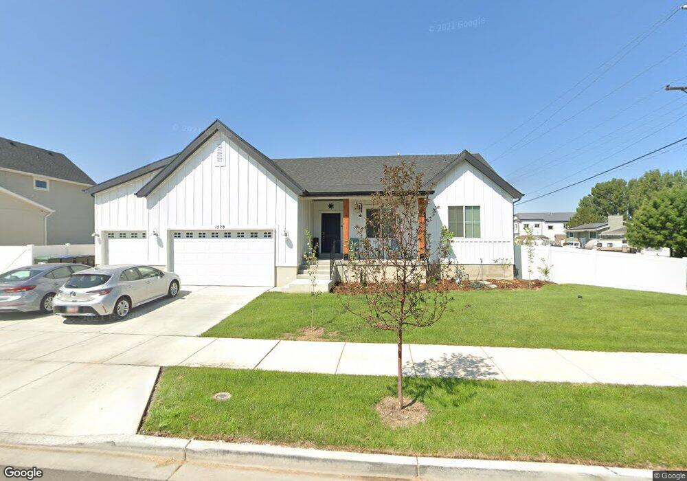
1578 S 680 W Unit 259 Provo, UT 84601
Franklin NeighborhoodEstimated Value: $583,000 - $690,036
3
Beds
2
Baths
3,495
Sq Ft
$183/Sq Ft
Est. Value
About This Home
This home is located at 1578 S 680 W Unit 259, Provo, UT 84601 and is currently estimated at $641,259, approximately $183 per square foot. 1578 S 680 W Unit 259 is a home located in Utah County with nearby schools including Sunset View Elementary School, Dixon Middle School, and Provo High School.
Ownership History
Date
Name
Owned For
Owner Type
Purchase Details
Closed on
May 10, 2021
Sold by
Fielding David Aaron and Fielding Valerie Steele
Bought by
Cordner Daniel C and Cordner Korey L
Current Estimated Value
Purchase Details
Closed on
Oct 2, 2018
Sold by
D R Horton Inc
Bought by
Fielding David and Fielding Randalyn
Home Financials for this Owner
Home Financials are based on the most recent Mortgage that was taken out on this home.
Original Mortgage
$175,000
Interest Rate
4.5%
Mortgage Type
New Conventional
Create a Home Valuation Report for This Property
The Home Valuation Report is an in-depth analysis detailing your home's value as well as a comparison with similar homes in the area
Home Values in the Area
Average Home Value in this Area
Purchase History
| Date | Buyer | Sale Price | Title Company |
|---|---|---|---|
| Cordner Daniel C | -- | Cottonwood Title Ins Agcy In | |
| Fielding David Aaron | -- | Cottonwood Title Ins Agcy In | |
| Fielding David | -- | Cottonwood Title Ins Agency |
Source: Public Records
Mortgage History
| Date | Status | Borrower | Loan Amount |
|---|---|---|---|
| Previous Owner | Fielding David | $175,000 |
Source: Public Records
Tax History Compared to Growth
Tax History
| Year | Tax Paid | Tax Assessment Tax Assessment Total Assessment is a certain percentage of the fair market value that is determined by local assessors to be the total taxable value of land and additions on the property. | Land | Improvement |
|---|---|---|---|---|
| 2025 | $3,131 | $328,130 | $236,700 | $359,900 |
| 2024 | $3,131 | $308,165 | $0 | $0 |
| 2023 | $3,042 | $295,185 | $0 | $0 |
| 2022 | $2,916 | $285,340 | $0 | $0 |
| 2021 | $2,293 | $391,400 | $133,500 | $257,900 |
| 2020 | $2,205 | $352,700 | $116,100 | $236,600 |
| 2019 | $2,015 | $335,300 | $116,100 | $219,200 |
| 2018 | $1,173 | $108,900 | $108,900 | $0 |
Source: Public Records
Map
Nearby Homes
- 588 W 1720 S
- 655 W 1280 S
- 642 W 1870 S Unit 1046
- Oakridge (Crawl) Plan at Osprey Towns
- 686 W 1920 S Unit 1024
- Dalton Plan at Osprey Towns
- Dumont Plan at Osprey Towns
- Millbrook (Crawl) Plan at Osprey Towns
- 661 W 1920 S Unit 1072
- 1895 S 530 W Unit 1191
- 311 W 1610 S
- 1095 S 500 W Unit 11
- 914 W 1150 S Unit 2
- 908 W 1150 S Unit 3
- 985 S 600 W
- 272 W 1020 S Unit B
- 966 S Freedom Blvd Unit 1
- 239 S Meadow Dr Unit 10
- 131 S Meadow Dr Unit 20
- 169 S Meadow Dr Unit 18
- 1596 S 680 W
- 1583 S 730 W Unit 268
- 1601 S 730 W
- 1581 S 680 W Unit 258
- 1546 S 680 W
- 698 W 1560 S
- 1614 S 680 W Unit 261
- 1599 S 680 W
- 1619 S 730 W Unit 266
- 1541 S 680 W
- 708 W 1560 S
- 1617 S 680 W
- 1617 S 680 W Unit 256
- 1576 S 620 W Unit 141
- 1526 S 680 W
- 1632 S 680 W Unit 262
- 1594 S 620 W Unit 140
- 1594 S 620 W
- 701 W 1500 S
- 1580 S 730 W Unit 269