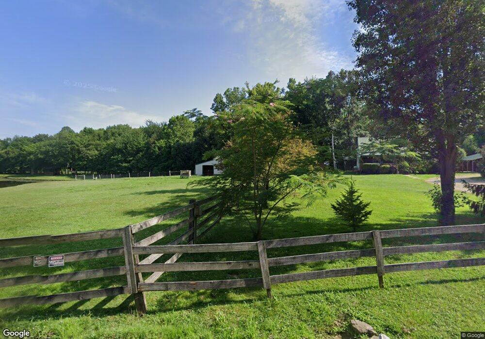
1579 Depot Rd Loogootee, IN 47553
Estimated Value: $295,000 - $452,036
3
Beds
2
Baths
1,332
Sq Ft
$262/Sq Ft
Est. Value
About This Home
This home is located at 1579 Depot Rd, Loogootee, IN 47553 and is currently estimated at $348,679, approximately $261 per square foot. 1579 Depot Rd is a home located in Martin County with nearby schools including Loogootee Elementary School, Loogootee Middle School, and Loogootee Junior/Senior High School.
Ownership History
Date
Name
Owned For
Owner Type
Purchase Details
Closed on
Feb 21, 2014
Sold by
Roy Roy
Bought by
Dyer Darrell and Dyer Carmen
Current Estimated Value
Create a Home Valuation Report for This Property
The Home Valuation Report is an in-depth analysis detailing your home's value as well as a comparison with similar homes in the area
Home Values in the Area
Average Home Value in this Area
Purchase History
| Date | Buyer | Sale Price | Title Company |
|---|---|---|---|
| Dyer Darrell | -- | -- |
Source: Public Records
Tax History Compared to Growth
Tax History
| Year | Tax Paid | Tax Assessment Tax Assessment Total Assessment is a certain percentage of the fair market value that is determined by local assessors to be the total taxable value of land and additions on the property. | Land | Improvement |
|---|---|---|---|---|
| 2024 | $2,238 | $326,500 | $68,700 | $257,800 |
| 2023 | $2,238 | $312,400 | $66,600 | $245,800 |
| 2022 | $1,961 | $303,510 | $64,800 | $238,710 |
| 2021 | $901 | $146,800 | $42,300 | $104,500 |
| 2020 | $849 | $140,800 | $41,100 | $99,700 |
| 2019 | $799 | $137,300 | $39,800 | $97,500 |
| 2018 | $893 | $134,500 | $39,400 | $95,100 |
| 2017 | $1,115 | $130,000 | $39,100 | $90,900 |
| 2016 | $1,361 | $147,200 | $45,900 | $101,300 |
| 2014 | $732 | $110,200 | $34,600 | $75,600 |
| 2013 | -- | $108,500 | $34,600 | $73,900 |
Source: Public Records
Map
Nearby Homes
- 13999 E 1200 N Rd
- 0 N Us Highway 231
- 11990 1400 N
- 10941 N 1080 E
- 10343 E State Road 58
- 133 Bloch St
- 120 Mcvay St
- 144 Mcvay St
- 131 Mcvay St
- 130 Earle St
- 100 S John Poindexter St
- 314 E Elnora St Unit STO
- 107 E Race St
- 207 W Race St
- 110 W Elnora St
- 102 Jack Ct
- 303 W Elnora St
- 7903 S Westmead Dr
- 7902 S Westmead Dr
- 7991 S Westmead Dr
- 1659 Depot Rd
- 1666 Depot Rd
- 1561 State Road 645
- 1589 State Road 645
- 1849 3rd Ave
- 1683 State Road 645
- 22428 First Rd
- 22428 First Rd
- 1816 2nd Ave
- 22485 Second Rd
- 22525 Second Rd
- 22525 Second Rd
- 22334 First Rd
- 1618 E Highway 645
- 22269 First Rd
- 1728 State Road 645
- 1821 1st Ave
- 22488 Second Rd
- 1921 3rd Ave
- 22311 Second Rd