1579 Humboldt Peak Beaumont, CA 92223
Estimated Value: $566,114 - $637,000
2
Beds
3
Baths
2,482
Sq Ft
$242/Sq Ft
Est. Value
About This Home
This home is located at 1579 Humboldt Peak, Beaumont, CA 92223 and is currently estimated at $600,279, approximately $241 per square foot. 1579 Humboldt Peak is a home with nearby schools including Palm Innovation Academy, San Gorgonio Middle School, and Beaumont Senior High School.
Ownership History
Date
Name
Owned For
Owner Type
Purchase Details
Closed on
Feb 24, 2025
Sold by
Emmit Harrell Robert and Brown Delores
Bought by
Emmit Harrell Robert and Livin Delores
Current Estimated Value
Purchase Details
Closed on
Oct 6, 2016
Sold by
K Hovnanians Four Seasons At Beaumont Ll
Bought by
Harrell Robert Emmit and Harrell Delores Brown
Home Financials for this Owner
Home Financials are based on the most recent Mortgage that was taken out on this home.
Original Mortgage
$395,167
Interest Rate
3.5%
Mortgage Type
VA
Create a Home Valuation Report for This Property
The Home Valuation Report is an in-depth analysis detailing your home's value as well as a comparison with similar homes in the area
Home Values in the Area
Average Home Value in this Area
Purchase History
| Date | Buyer | Sale Price | Title Company |
|---|---|---|---|
| Emmit Harrell Robert | -- | None Listed On Document | |
| Harrell Robert Emmit | $387,000 | Orange Coast Title Company |
Source: Public Records
Mortgage History
| Date | Status | Borrower | Loan Amount |
|---|---|---|---|
| Previous Owner | Harrell Robert Emmit | $395,167 |
Source: Public Records
Tax History Compared to Growth
Tax History
| Year | Tax Paid | Tax Assessment Tax Assessment Total Assessment is a certain percentage of the fair market value that is determined by local assessors to be the total taxable value of land and additions on the property. | Land | Improvement |
|---|---|---|---|---|
| 2025 | $7,077 | $462,340 | $75,435 | $386,905 |
| 2023 | $7,077 | $431,701 | $72,506 | $359,195 |
| 2022 | $6,944 | $423,237 | $71,085 | $352,152 |
| 2021 | $6,827 | $414,940 | $69,692 | $345,248 |
| 2020 | $6,773 | $410,686 | $68,978 | $341,708 |
| 2019 | $6,693 | $402,634 | $67,626 | $335,008 |
| 2018 | $6,741 | $394,740 | $66,300 | $328,440 |
| 2017 | $6,648 | $387,000 | $65,000 | $322,000 |
Source: Public Records
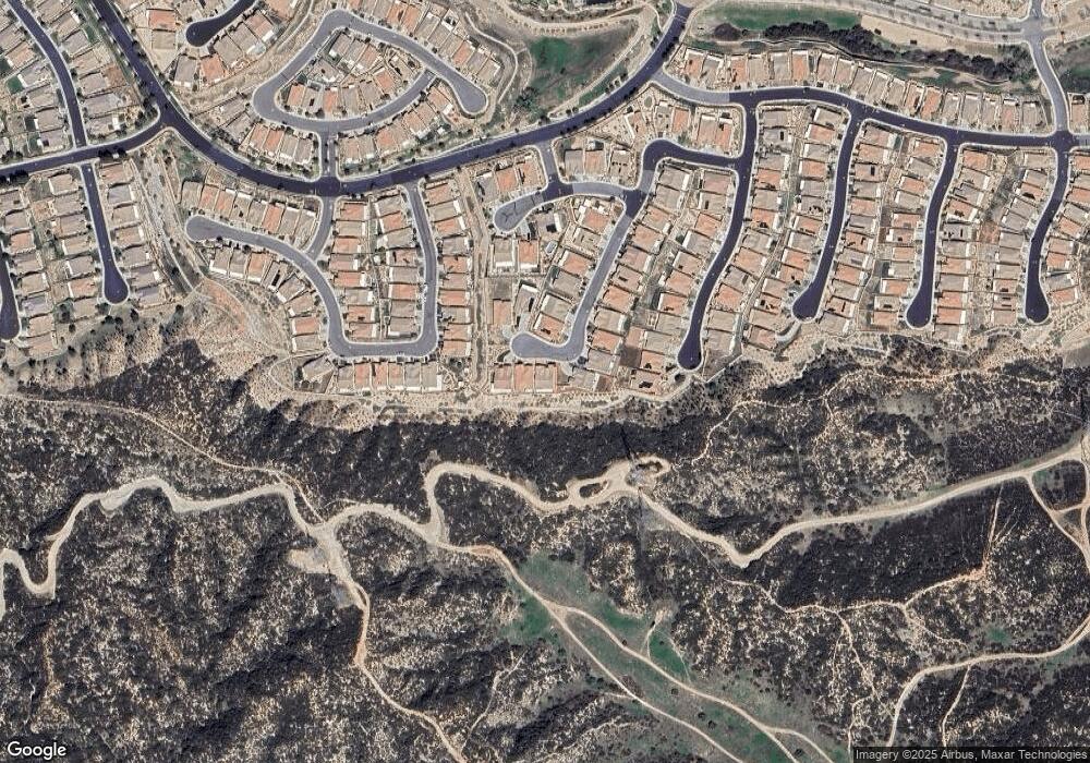
Map
Nearby Homes
- 1576 Lindsey Peak
- 383 Song Bird
- 442 Yellowstone Park
- 1616 Rosemary Gardens
- 322 Forked Run
- 351 Scarlett Runner
- 348 Scarlett Runner
- 316 Pipe Springs
- 345 Lucinda Terrace
- 1800 Litchfield Dr
- 1608 Sams Canyon
- 1742 Litchfield Dr
- 1533 Big Bend
- 285 Bartram Trail
- 279 Bartram Trail
- 1544 Big Bend
- 5512 Breckenridge Ave
- 6283 Sawgrass Dr
- 2282 Wailea Beach Dr
- 1506 Big Bend
- 1577 Humboldt Peak
- 1581 Humboldt Peak
- 1575 Humboldt Peak
- 477 Whitney Peak
- 480 Whitney Peak
- 478 Whitney Peak
- 478 Whitney Peak
- 475 Whitney Peak
- 1576 Humboldt Peak
- 474 Whitney Peak
- 489 Diamond Peak
- 471 Whitney Peak
- 470 Madera Creek
- 487 Diamond Peak
- 472 Madera Creek
- 470 Whitney Peak
- 468 Madera Creek
- 483 Diamond Peak
- 469 Whitney Peak
- 1573 Savannah Creek