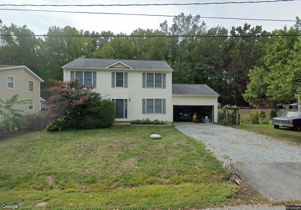
1579 Stuart Rd Edgewater, MD 21037
Estimated Value: $568,721 - $776,000
Studio
2
Baths
2,400
Sq Ft
$286/Sq Ft
Est. Value
About This Home
This home is located at 1579 Stuart Rd, Edgewater, MD 21037 and is currently estimated at $686,180, approximately $285 per square foot. 1579 Stuart Rd is a home located in Anne Arundel County with nearby schools including Mayo Elementary School, Central Middle School, and South River High School.
Ownership History
Date
Name
Owned For
Owner Type
Purchase Details
Closed on
Mar 6, 2020
Sold by
Awad Lawrence Anthony and Awad Kim Marie
Bought by
Awad Lawrence Anthony
Current Estimated Value
Home Financials for this Owner
Home Financials are based on the most recent Mortgage that was taken out on this home.
Original Mortgage
$386,600
Outstanding Balance
$342,389
Interest Rate
3.5%
Mortgage Type
New Conventional
Estimated Equity
$343,791
Purchase Details
Closed on
Mar 22, 1984
Bought by
Awad Lawrence A and Awad Kim M
Home Financials for this Owner
Home Financials are based on the most recent Mortgage that was taken out on this home.
Original Mortgage
$54,959
Interest Rate
13.37%
Create a Home Valuation Report for This Property
The Home Valuation Report is an in-depth analysis detailing your home's value as well as a comparison with similar homes in the area
Home Values in the Area
Average Home Value in this Area
Purchase History
| Date | Buyer | Sale Price | Title Company |
|---|---|---|---|
| Awad Lawrence Anthony | -- | Trusted Title Services Llc | |
| Awad Lawrence A | $74,000 | -- |
Source: Public Records
Mortgage History
| Date | Status | Borrower | Loan Amount |
|---|---|---|---|
| Open | Awad Lawrence Anthony | $386,600 | |
| Closed | Awad Lawrence A | $54,959 |
Source: Public Records
Tax History
| Year | Tax Paid | Tax Assessment Tax Assessment Total Assessment is a certain percentage of the fair market value that is determined by local assessors to be the total taxable value of land and additions on the property. | Land | Improvement |
|---|---|---|---|---|
| 2025 | $3,396 | $483,267 | -- | -- |
| 2024 | $3,396 | $460,833 | $0 | $0 |
| 2023 | $2,815 | $438,400 | $231,200 | $207,200 |
| 2022 | $3,084 | $432,767 | $0 | $0 |
| 2020 | $2,946 | $421,500 | $225,700 | $195,800 |
| 2019 | $2,887 | $403,700 | $0 | $0 |
| 2018 | $3,913 | $385,900 | $0 | $0 |
| 2017 | $2,705 | $368,100 | $0 | $0 |
| 2016 | -- | $363,100 | $0 | $0 |
| 2015 | -- | $358,100 | $0 | $0 |
| 2014 | -- | $353,100 | $0 | $0 |
Source: Public Records
Map
Nearby Homes
- 1533 Wakefield Rd
- 1546 Ridgely Dr
- 1407 (Lot 72) Old Ct
- 4005 Dark Horse Way
- Lot 71 Old Ct
- 1403 (Lot 70) Old Ct
- 1443 Rehling Dr
- 4119 Waterview Dr
- 0 Beverley Ave Unit MDAA2048610
- 306 Linden Ave
- 3725 Ramsey Dr
- 3727 Ramsey Dr
- 402 Linden Ave
- 112 Elliott Place
- 3744 Parke Dr
- 1138 Mayo Rd
- 1663 Cliff Dr
- 0 Mayo Rd Unit MDAA2113152
- 3728 Bay Dr
- 1110 Murray Dr
Your Personal Tour Guide
Ask me questions while you tour the home.