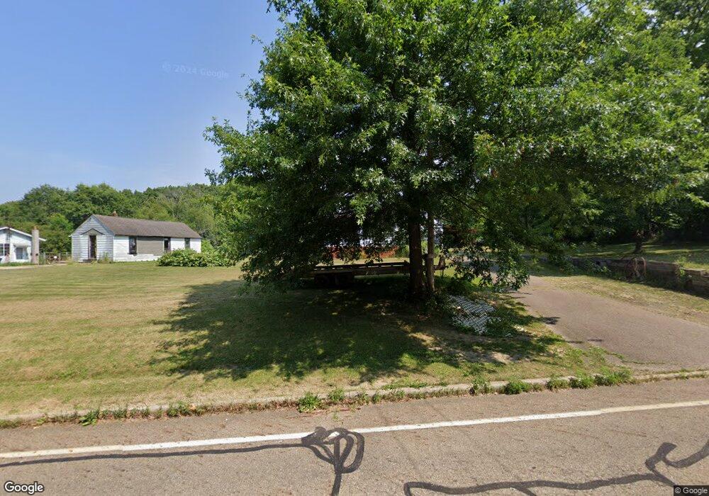
1579 W Nimisila Rd Clinton, OH 44216
Estimated Value: $149,000 - $207,000
2
Beds
1
Bath
816
Sq Ft
$213/Sq Ft
Est. Value
About This Home
This home is located at 1579 W Nimisila Rd, Clinton, OH 44216 and is currently estimated at $174,167, approximately $213 per square foot. 1579 W Nimisila Rd is a home located in Summit County.
Ownership History
Date
Name
Owned For
Owner Type
Purchase Details
Closed on
Aug 16, 1996
Sold by
Hopkins John G
Bought by
Heard John P and Heard Bonnie J
Current Estimated Value
Home Financials for this Owner
Home Financials are based on the most recent Mortgage that was taken out on this home.
Original Mortgage
$61,500
Interest Rate
8.18%
Mortgage Type
New Conventional
Create a Home Valuation Report for This Property
The Home Valuation Report is an in-depth analysis detailing your home's value as well as a comparison with similar homes in the area
Home Values in the Area
Average Home Value in this Area
Purchase History
| Date | Buyer | Sale Price | Title Company |
|---|---|---|---|
| Heard John P | $41,000 | -- |
Source: Public Records
Mortgage History
| Date | Status | Borrower | Loan Amount |
|---|---|---|---|
| Closed | Heard John P | $61,500 |
Source: Public Records
Tax History Compared to Growth
Tax History
| Year | Tax Paid | Tax Assessment Tax Assessment Total Assessment is a certain percentage of the fair market value that is determined by local assessors to be the total taxable value of land and additions on the property. | Land | Improvement |
|---|---|---|---|---|
| 2025 | $2,249 | $45,038 | $11,284 | $33,754 |
| 2024 | $2,249 | $45,038 | $11,284 | $33,754 |
| 2023 | $2,249 | $45,038 | $11,284 | $33,754 |
| 2022 | $2,214 | $34,524 | $8,421 | $26,103 |
| 2021 | $2,222 | $34,524 | $8,421 | $26,103 |
| 2020 | $2,184 | $34,520 | $8,420 | $26,100 |
| 2019 | $2,099 | $29,730 | $8,420 | $21,310 |
| 2018 | $1,811 | $29,730 | $8,420 | $21,310 |
| 2017 | $1,765 | $29,730 | $8,420 | $21,310 |
| 2016 | $1,744 | $26,250 | $8,420 | $17,830 |
| 2015 | $1,765 | $26,250 | $8,420 | $17,830 |
| 2014 | $1,752 | $26,250 | $8,420 | $17,830 |
| 2013 | $1,928 | $29,050 | $8,420 | $20,630 |
Source: Public Records
Map
Nearby Homes
- 6387 Hampsher Rd
- 1062 Stump Rd
- 6090 Manchester Rd Unit 6096
- 899 Loway Dr
- 2200 W Comet Rd
- 5776 Harter Home Dr
- 781 Leeman Dr
- 8177 S Cleveland Massillon Rd Unit 16
- 8177 S Cleveland Massillon Rd Unit 42
- 8714 Greenmeadow Ave NW
- 6407 Southview Dr
- 715 Highland Park Dr
- 7060 Manchester Rd
- 0 W Comet Rd Unit 5079117
- 5892 Woodward Dr
- 8941 Shoemaker Ave NW
- 451 Yager Rd
- 5983 Weaver Rd
- 7452 S Cleveland Massillon Rd
- 0 Babst Ave NW
- 1595 W Nimisila Rd
- 1592 W Nimisila Rd
- 1560 W Nimisila Rd
- 1615 W Nimisila Rd
- 1570 W Nimisila Rd
- 1539 W Nimisila Rd
- 1594 W Nimisila Rd
- 1536 W Nimisila Rd
- 1550 W Nimisila Rd
- 1620 W Nimisila Rd
- 1520 W Nimisila Rd
- 1639 W Nimisila Rd
- 1515 W Nimisila Rd
- 1503 W Nimisila Rd
- 1659 W Nimisila Rd
- 6796 Grove Rd
- 1650 W Nimisila Rd
- 6760 Grove Rd
- 6786 Grove Rd
- 6772 Grove Rd