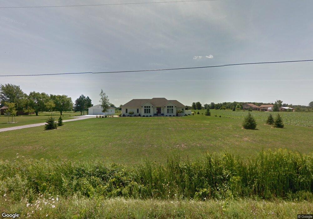
1579 Wilder Rd Auburn, MI 48611
Estimated Value: $395,784 - $421,000
--
Bed
1
Bath
1,928
Sq Ft
$214/Sq Ft
Est. Value
About This Home
This home is located at 1579 Wilder Rd, Auburn, MI 48611 and is currently estimated at $412,595, approximately $214 per square foot. 1579 Wilder Rd is a home located in Bay County with nearby schools including Thrasher Attendance Center, Auburn Elementary School, and Western Middle School.
Ownership History
Date
Name
Owned For
Owner Type
Purchase Details
Closed on
Feb 27, 2007
Sold by
Mapes Paul and Mapes Amy
Bought by
Lamont Keith and Lamont Lisa
Current Estimated Value
Home Financials for this Owner
Home Financials are based on the most recent Mortgage that was taken out on this home.
Original Mortgage
$230,000
Outstanding Balance
$139,292
Interest Rate
6.27%
Mortgage Type
Purchase Money Mortgage
Estimated Equity
$273,303
Create a Home Valuation Report for This Property
The Home Valuation Report is an in-depth analysis detailing your home's value as well as a comparison with similar homes in the area
Home Values in the Area
Average Home Value in this Area
Purchase History
| Date | Buyer | Sale Price | Title Company |
|---|---|---|---|
| Lamont Keith | $230,000 | None Available |
Source: Public Records
Mortgage History
| Date | Status | Borrower | Loan Amount |
|---|---|---|---|
| Open | Lamont Keith | $230,000 |
Source: Public Records
Tax History Compared to Growth
Tax History
| Year | Tax Paid | Tax Assessment Tax Assessment Total Assessment is a certain percentage of the fair market value that is determined by local assessors to be the total taxable value of land and additions on the property. | Land | Improvement |
|---|---|---|---|---|
| 2025 | $4,844 | $184,450 | $0 | $0 |
| 2024 | $2,575 | $176,200 | $0 | $0 |
| 2023 | $2,451 | $160,100 | $0 | $0 |
| 2022 | $4,397 | $146,250 | $0 | $0 |
| 2021 | $4,389 | $136,350 | $136,350 | $0 |
| 2020 | $4,105 | $135,450 | $135,450 | $0 |
| 2019 | $3,824 | $118,150 | $0 | $0 |
| 2018 | $3,695 | $98,250 | $0 | $0 |
| 2017 | $3,649 | $99,900 | $0 | $0 |
| 2016 | $3,832 | $114,000 | $0 | $114,000 |
| 2015 | -- | $123,600 | $0 | $123,600 |
| 2014 | -- | $123,600 | $0 | $123,600 |
Source: Public Records
Map
Nearby Homes
- 1365 W North Union Rd
- 0 Court St
- 4648 Meadow Ct
- 3509 Garfield Rd
- 0 W North Union Rd Unit 50166876
- 1598 Fisherville Ct
- 1587 Fisherville Ct
- 2011 Prairie Point Dr
- 1954 W Midland Rd
- 4760 Putt Ln
- 4806 Northridge
- Parcel 175 Joan Dr
- 0 W Midland Rd Unit 50189337
- 0 W Midland Rd Unit 50152278
- 1324 Townline 14 Rd
- 544 W North Union Rd
- 305 Renshar Dr
- 2752 W North Union Rd Unit 88
- 4956 W Bis Rd
- 319 Price St
- 1561 Wilder Rd
- 1629 Wilder Rd
- 1637 Wilder Rd
- 1529 Wilder Rd
- 1648 Wilder Rd
- 1648 Wilder Rd
- 1653 Wilder Rd
- 4038 11 Mile Rd
- 4012 Eleven Mile
- 4056 11 Mile Rd
- 4012 11 Mile Rd
- 1658 Wilder Rd
- 1769 Wilder Rd
- 4072 S 11 Mile Rd
- 4072 11 Mile Rd
- 4039 S 11 Mile Rd
- 4039 11 Mile Rd
- 4039 S Eleven Mile Rd
- 1491 Wilder Rd
- 4057 11 Mile Rd