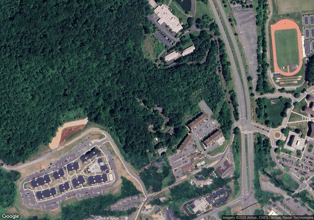
158 Briar Patch Rd Cullowhee, NC 28723
Estimated Value: $323,000 - $425,000
6
Beds
4
Baths
3,765
Sq Ft
$98/Sq Ft
Est. Value
About This Home
This home is located at 158 Briar Patch Rd, Cullowhee, NC 28723 and is currently estimated at $369,981, approximately $98 per square foot. 158 Briar Patch Rd is a home with nearby schools including Cullowhee Valley School, Smoky Mountain High School, and Heritage Christian Academy.
Ownership History
Date
Name
Owned For
Owner Type
Purchase Details
Closed on
Nov 2, 2022
Sold by
Jo Edith Burchfiel Living Trust
Bought by
Smith Shawn and Smith Lisa C
Current Estimated Value
Home Financials for this Owner
Home Financials are based on the most recent Mortgage that was taken out on this home.
Original Mortgage
$292,500
Outstanding Balance
$277,846
Interest Rate
4.2%
Mortgage Type
New Conventional
Estimated Equity
$92,135
Create a Home Valuation Report for This Property
The Home Valuation Report is an in-depth analysis detailing your home's value as well as a comparison with similar homes in the area
Home Values in the Area
Average Home Value in this Area
Purchase History
| Date | Buyer | Sale Price | Title Company |
|---|---|---|---|
| Smith Shawn | $325,000 | -- |
Source: Public Records
Mortgage History
| Date | Status | Borrower | Loan Amount |
|---|---|---|---|
| Open | Smith Shawn | $292,500 |
Source: Public Records
Tax History Compared to Growth
Tax History
| Year | Tax Paid | Tax Assessment Tax Assessment Total Assessment is a certain percentage of the fair market value that is determined by local assessors to be the total taxable value of land and additions on the property. | Land | Improvement |
|---|---|---|---|---|
| 2025 | $1,210 | $318,459 | $32,460 | $285,999 |
| 2024 | $977 | $257,170 | $32,460 | $224,710 |
| 2023 | $985 | $259,280 | $34,570 | $224,710 |
| 2022 | $779 | $162,910 | $34,570 | $128,340 |
| 2021 | $619 | $162,910 | $34,570 | $128,340 |
| 2020 | $636 | $134,550 | $11,610 | $122,940 |
| 2019 | $636 | $134,550 | $11,610 | $122,940 |
| 2018 | $636 | $134,550 | $11,610 | $122,940 |
| 2017 | $623 | $134,550 | $11,610 | $122,940 |
| 2015 | $723 | $134,550 | $11,610 | $122,940 |
| 2011 | -- | $213,740 | $30,940 | $182,800 |
Source: Public Records
Map
Nearby Homes
- 0 Tract A Unit 26041026
- 324 Buzzards Roost Rd
- Lot 38 Brookstone Mountain Trail
- Lots 302,304 N Country Club Dr
- 302,304 N Country Club Dr
- 719 N Country Club Dr
- 407 Monteith Gap Rd
- 1168 N Country Club Dr
- 350 Lyle Wilson Rd
- 660 660 Montieth Gap
- 000 Lyle Wilson Rd
- 609 S Country Club Dr
- 002 Lyle Wilson Rd
- 0003 Lyle Wilson Rd
- 0001 Lyle Wilson Rd
- 340 Lyle Wilson Rd
- 0002 Lyle Wilson Rd
- 0004 Lyle Wilson Rd
- 249 Gudger Hill Rd
- 80 Music Ln
- 132 Briar Patch Rd
- 128 Briar Patch Rd
- 74 Briar Patch Rd
- 52 Briar Patch Rd
- 106 Gothic Ct
- 38 Westside Dr
- 42 Briar Patch Rd
- 112 Blackhawk Rd
- N/A Blackhawk Rd
- 16 Dr Killian Rd
- 0 Blackhawk
- 261 Dr Killian Rd
- TBD State Route 107
- 0 State Route 107
- 71 Blackhawk Rd
- 000 Blackhawk Rd
- 00 Ledbetter
- 4715 Little Savannah Rd
- 16 Cavalier Dr
- 4735 Little Savannah Rd
