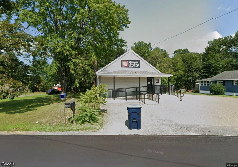
158 Mall Rd Lehighton, PA 18235
Estimated Value: $149,659
3
Beds
1
Bath
1,266
Sq Ft
$118/Sq Ft
Est. Value
About This Home
This home is located at 158 Mall Rd, Lehighton, PA 18235 and is currently estimated at $149,659, approximately $118 per square foot. 158 Mall Rd is a home located in Carbon County with nearby schools including Lehighton Area High School, Sts. Peter & Paul School, and Valley Ridge Academy.
Ownership History
Date
Name
Owned For
Owner Type
Purchase Details
Closed on
Aug 20, 2018
Sold by
Shanahan Timothy and Marinchak Cheryl
Bought by
Rheiner John L and Rheiner Bruce F
Current Estimated Value
Home Financials for this Owner
Home Financials are based on the most recent Mortgage that was taken out on this home.
Original Mortgage
$62,400
Interest Rate
4.5%
Mortgage Type
Commercial
Purchase Details
Closed on
Aug 23, 1994
Bought by
Shanahan Timothy
Create a Home Valuation Report for This Property
The Home Valuation Report is an in-depth analysis detailing your home's value as well as a comparison with similar homes in the area
Home Values in the Area
Average Home Value in this Area
Purchase History
| Date | Buyer | Sale Price | Title Company |
|---|---|---|---|
| Rheiner John L | -- | None Available | |
| Shanahan Timothy | $67,000 | -- |
Source: Public Records
Mortgage History
| Date | Status | Borrower | Loan Amount |
|---|---|---|---|
| Previous Owner | Rheiner John L | $62,400 |
Source: Public Records
Tax History Compared to Growth
Tax History
| Year | Tax Paid | Tax Assessment Tax Assessment Total Assessment is a certain percentage of the fair market value that is determined by local assessors to be the total taxable value of land and additions on the property. | Land | Improvement |
|---|---|---|---|---|
| 2025 | $2,778 | $36,310 | $8,150 | $28,160 |
| 2024 | $2,669 | $36,310 | $8,150 | $28,160 |
| 2023 | $2,642 | $36,310 | $8,150 | $28,160 |
| 2022 | $2,606 | $36,310 | $8,150 | $28,160 |
| 2021 | $1,754 | $25,190 | $8,150 | $17,040 |
| 2020 | $1,710 | $25,190 | $8,150 | $17,040 |
| 2019 | $1,622 | $25,190 | $8,150 | $17,040 |
| 2018 | $1,603 | $25,190 | $8,150 | $17,040 |
| 2017 | $1,603 | $25,190 | $8,150 | $17,040 |
| 2016 | -- | $25,190 | $8,150 | $17,040 |
| 2015 | -- | $25,190 | $8,150 | $17,040 |
| 2014 | -- | $25,190 | $8,150 | $17,040 |
Source: Public Records
Map
Nearby Homes
- 410 S 8th St
- 0 Fredericks Grove Rd Unit 691615
- 0 Emily Plan at Summit Point Unit PACC2005480
- 0 Copper Beech Plan at Summit Ridge Unit PACC2005478
- 0 Black Cherry Plan at Summit Ridge Unit PACC2005474
- 0 Ridge
- 408 Bridge St
- 639 Iron St
- 522 Iron St
- 260 S 3rd St
- 515 Mahoning St
- 808 Coal St
- 0 Pine Hollow Unit PACC2006556
- 196 S 3rd St
- 134 Bridge St
- 236 S 2nd St
- 230 S 2nd St
- 470 N 8th St
- 8 Lentz Ave
- 119 S 3rd St
- 142 Mall Rd
- 184 Mall Rd
- 383 Ashtown Dr
- 360 Ashtown Dr
- 417 Ashtown Dr
- 307 Ashtown Dr
- 336 Ashtown Dr
- 336 Ashtown Dr
- 427 Ashtown Dr
- 0 Ashtown Dr Unit 6710811
- 414 Ashtown Dr
- 304 Ashtown Dr
- 271 Ashtown Dr
- 465 Ashtown Dr
- 278 Ashtown Dr
- 257 Ashtown Dr
- 262 Ashtown Dr
- 483 Ashtown Dr
- 243 Ashtown Dr
- 1080 Blakeslee Boulevard Dr E Unit SUITE 2