158 Rock Hill Cir Huntsville, AL 35811
Ryland NeighborhoodEstimated Value: $122,940 - $301,000
--
Bed
--
Bath
1,959
Sq Ft
$118/Sq Ft
Est. Value
About This Home
This home is located at 158 Rock Hill Cir, Huntsville, AL 35811 and is currently estimated at $231,985, approximately $118 per square foot. 158 Rock Hill Cir is a home with nearby schools including Central School and Madison County High School.
Ownership History
Date
Name
Owned For
Owner Type
Purchase Details
Closed on
Sep 16, 2020
Sold by
Mccauley Kristi Douglas and Mccauley Douglas James
Bought by
Douglas Jonathan Lee
Current Estimated Value
Home Financials for this Owner
Home Financials are based on the most recent Mortgage that was taken out on this home.
Original Mortgage
$79,200
Outstanding Balance
$56,394
Interest Rate
2.8%
Mortgage Type
New Conventional
Estimated Equity
$175,591
Purchase Details
Closed on
Jul 31, 2020
Sold by
Mccauley Kristi Douglas and Estate Of Myrtle Strong Dougla
Bought by
Mccauley Kristi Douglas and Mccauley Douglas James
Home Financials for this Owner
Home Financials are based on the most recent Mortgage that was taken out on this home.
Original Mortgage
$79,200
Outstanding Balance
$56,394
Interest Rate
2.8%
Mortgage Type
New Conventional
Estimated Equity
$175,591
Create a Home Valuation Report for This Property
The Home Valuation Report is an in-depth analysis detailing your home's value as well as a comparison with similar homes in the area
Home Values in the Area
Average Home Value in this Area
Purchase History
| Date | Buyer | Sale Price | Title Company |
|---|---|---|---|
| Douglas Jonathan Lee | -- | None Available | |
| Mccauley Kristi Douglas | -- | None Available |
Source: Public Records
Mortgage History
| Date | Status | Borrower | Loan Amount |
|---|---|---|---|
| Open | Douglas Jonathan Lee | $79,200 |
Source: Public Records
Tax History Compared to Growth
Tax History
| Year | Tax Paid | Tax Assessment Tax Assessment Total Assessment is a certain percentage of the fair market value that is determined by local assessors to be the total taxable value of land and additions on the property. | Land | Improvement |
|---|---|---|---|---|
| 2024 | $679 | $18,220 | $880 | $17,340 |
| 2023 | $662 | $17,740 | $880 | $16,860 |
| 2022 | $577 | $15,880 | $880 | $15,000 |
| 2021 | $518 | $14,260 | $880 | $13,380 |
| 2020 | $195 | $6,670 | $440 | $6,230 |
| 2019 | $186 | $6,440 | $440 | $6,000 |
| 2018 | $171 | $6,040 | $0 | $0 |
| 2017 | $171 | $6,040 | $0 | $0 |
| 2016 | $171 | $6,040 | $0 | $0 |
| 2015 | $171 | $6,040 | $0 | $0 |
| 2014 | $169 | $5,980 | $0 | $0 |
Source: Public Records
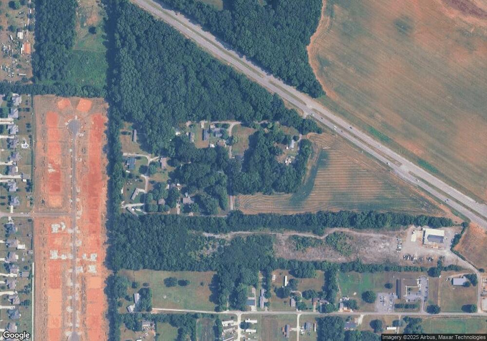
Map
Nearby Homes
- 215 Teague Rd
- Ionia III H Plan at Cedar Gap Estates
- Rodessa IV H Plan at Cedar Gap Estates
- Rodessa IV G Plan at Cedar Gap Estates
- Comstock III G Plan at Cedar Gap Estates
- Comstock III H Plan at Cedar Gap Estates
- Taft IV G Plan at Cedar Gap Estates
- Taplin III G Plan at Cedar Gap Estates
- Crosby III H Plan at Cedar Gap Estates
- Crosby III S Plan at Cedar Gap Estates
- Ionia III G Plan at Cedar Gap Estates
- Johnson IV H Plan at Cedar Gap Estates
- 101 Dolf Leaf Ln
- 103 Dolf Leaf Ln
- 109 Dolf Leaf Ln
- 105 Dolf Leaf Ln
- 136 Petty Ln
- TBD Petty Ln
- 403 Ryland Pike
- 2349 Dug Hill Rd
- 174 Rock Hill Cir
- 165 Rock Hill Cir
- 175 Rock Hill Cir
- 181 Rock Hill Cir
- 136 Rock Hill Cir
- 106 Holder Rd
- 189 Rock Hill Cir
- 112 Saint Dr
- 114 Rock Hill Cir
- 154 Holder Rd
- 126 Saint Dr
- 0 Holder Rd
- 193 Holder Rd
- 247 Teague Rd
- 2984 Highway 72 E
- 235 Teague Rd
- 241 Teague Rd
- 199 Teague Rd
- 189 Teague Rd
- 214 Teague Rd