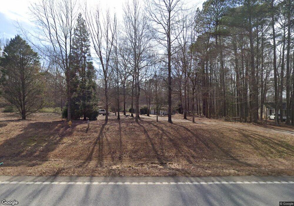
1580 Highway 142 E Unit 7 Covington, GA 30014
Estimated Value: $223,000 - $296,000
4
Beds
3
Baths
1,594
Sq Ft
$169/Sq Ft
Est. Value
About This Home
This home is located at 1580 Highway 142 E Unit 7, Covington, GA 30014 and is currently estimated at $268,958, approximately $168 per square foot. 1580 Highway 142 E Unit 7 is a home located in Newton County with nearby schools including Mansfield Elementary School, Indian Creek Middle School, and Eastside High School.
Ownership History
Date
Name
Owned For
Owner Type
Purchase Details
Closed on
Dec 18, 2018
Sold by
Rowe Richard A
Bought by
Lane Deloris
Current Estimated Value
Home Financials for this Owner
Home Financials are based on the most recent Mortgage that was taken out on this home.
Original Mortgage
$151,515
Outstanding Balance
$132,702
Interest Rate
4.8%
Mortgage Type
New Conventional
Estimated Equity
$136,256
Purchase Details
Closed on
Feb 1, 2011
Sold by
Brown Douglas W and Brown Dana M
Bought by
Beneficial Mtg Co Of Ga
Purchase Details
Closed on
Feb 25, 1994
Sold by
Easterday David Diane
Bought by
Brown Douglas Dana
Home Financials for this Owner
Home Financials are based on the most recent Mortgage that was taken out on this home.
Original Mortgage
$64,000
Interest Rate
7.26%
Create a Home Valuation Report for This Property
The Home Valuation Report is an in-depth analysis detailing your home's value as well as a comparison with similar homes in the area
Home Values in the Area
Average Home Value in this Area
Purchase History
| Date | Buyer | Sale Price | Title Company |
|---|---|---|---|
| Lane Deloris | $150,000 | -- | |
| Beneficial Mtg Co Of Ga | $22,811 | -- | |
| Brown Douglas Dana | $64,000 | -- |
Source: Public Records
Mortgage History
| Date | Status | Borrower | Loan Amount |
|---|---|---|---|
| Open | Lane Deloris | $151,515 | |
| Previous Owner | Brown Douglas Dana | $64,000 |
Source: Public Records
Tax History
| Year | Tax Paid | Tax Assessment Tax Assessment Total Assessment is a certain percentage of the fair market value that is determined by local assessors to be the total taxable value of land and additions on the property. | Land | Improvement |
|---|---|---|---|---|
| 2025 | $2,589 | $110,760 | $16,800 | $93,960 |
| 2024 | $2,490 | $102,160 | $16,800 | $85,360 |
| 2023 | $2,214 | $85,480 | $5,800 | $79,680 |
| 2022 | $2,083 | $80,640 | $5,800 | $74,840 |
| 2021 | $1,953 | $68,280 | $5,800 | $62,480 |
| 2020 | $1,740 | $55,680 | $5,800 | $49,880 |
| 2019 | $1,760 | $55,480 | $5,800 | $49,680 |
| 2018 | $490 | $28,560 | $5,800 | $22,760 |
| 2017 | $906 | $26,400 | $5,800 | $20,600 |
| 2016 | $906 | $26,400 | $5,800 | $20,600 |
| 2015 | $887 | $25,840 | $5,800 | $20,040 |
| 2014 | $823 | $24,040 | $0 | $0 |
Source: Public Records
Map
Nearby Homes
- 1966 Highway 142 E
- 1966 Georgia 142
- Tract6 Adams Rd
- 1187 Dixie Rd
- 147 Cobb Rd
- 1530 Highway 11 S
- 95 Dixie Trail
- 0 Adams Rd Unit 7685218
- 0 Adams Rd Unit 7685226
- 0 Adams Rd Unit TRACT 5
- 0 Adams Rd Unit TRACT 4
- 0 Adams Rd Unit TRACT 6
- 0 Adams Rd Unit TRACT 7
- 0 Adams Rd Unit 7685231
- 50 Hidden Forest Rd
- 788 S Hwy 11
- 1050 Skyline Dr
- 20 Wood Lawn Springs Trail
- 145 Vinnys Terrace
- 155 Vinnys Way
- 1580 Highway 142 E
- 1550 Highway 142 E
- 1520 Highway 142 E
- 1500 Highway 142 E
- 1480 Highway 142 E
- 2010 Adams Cir
- 1400 Highway 142 E
- 1460 Highway 142 E
- 99 Adams Cir
- 10 Oak Grove Rd
- 2121 Woodlawn Rd
- 2155 Woodlawn Rd
- 35 Oak Grove Rd
- 2117 Woodlawn Rd
- 20 Oak Grove Rd
- 1631 Highway 11 N
- 45 Oak Grove Rd
- 30 Oak Grove Rd
- 1855 Highway 142 E
- 40 Oak Grove Rd
