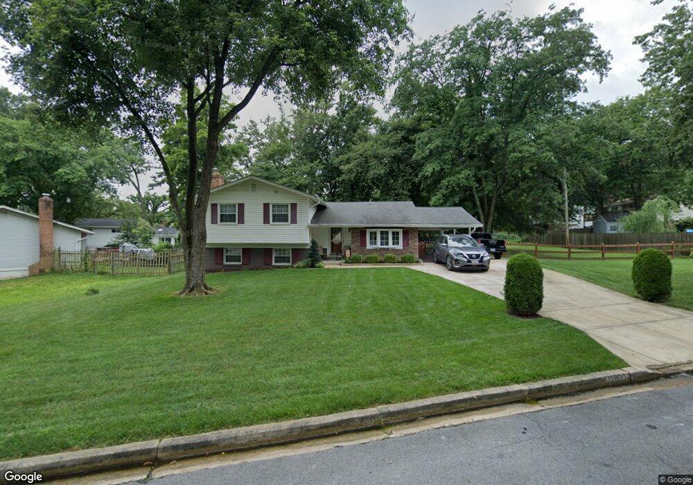
15800 Bradford Dr Laurel, MD 20707
West Laurel NeighborhoodEstimated Value: $543,000 - $579,000
--
Bed
3
Baths
2,039
Sq Ft
$274/Sq Ft
Est. Value
About This Home
This home is located at 15800 Bradford Dr, Laurel, MD 20707 and is currently estimated at $559,385, approximately $274 per square foot. 15800 Bradford Dr is a home located in Prince George's County with nearby schools including Bond Mill Elementary, Martin Luther King Jr. Middle School, and Laurel High School.
Ownership History
Date
Name
Owned For
Owner Type
Purchase Details
Closed on
Dec 13, 1996
Sold by
Brennan Robert E
Bought by
Bader Terrence J and Bader Betty C
Current Estimated Value
Purchase Details
Closed on
Jun 28, 1985
Sold by
Hayes Kevin J
Bought by
Brennan Robert E and Brennan Virginia
Create a Home Valuation Report for This Property
The Home Valuation Report is an in-depth analysis detailing your home's value as well as a comparison with similar homes in the area
Home Values in the Area
Average Home Value in this Area
Purchase History
| Date | Buyer | Sale Price | Title Company |
|---|---|---|---|
| Bader Terrence J | $162,000 | -- | |
| Brennan Robert E | $114,900 | -- |
Source: Public Records
Tax History Compared to Growth
Tax History
| Year | Tax Paid | Tax Assessment Tax Assessment Total Assessment is a certain percentage of the fair market value that is determined by local assessors to be the total taxable value of land and additions on the property. | Land | Improvement |
|---|---|---|---|---|
| 2025 | $5,341 | $458,400 | $129,700 | $328,700 |
| 2024 | $5,341 | $436,600 | $0 | $0 |
| 2023 | $5,152 | $414,800 | $0 | $0 |
| 2022 | $4,915 | $393,000 | $104,700 | $288,300 |
| 2021 | $4,692 | $372,600 | $0 | $0 |
| 2020 | $4,568 | $352,200 | $0 | $0 |
| 2019 | $4,421 | $331,800 | $102,300 | $229,500 |
| 2018 | $4,279 | $317,000 | $0 | $0 |
| 2017 | $4,161 | $302,200 | $0 | $0 |
| 2016 | -- | $287,400 | $0 | $0 |
| 2015 | $3,675 | $287,300 | $0 | $0 |
| 2014 | $3,675 | $287,200 | $0 | $0 |
Source: Public Records
Map
Nearby Homes
- 6802 Niles Dr
- 6918 Scotch Dr
- 7019 Fitzpatrick Dr
- 7019 Redmiles Rd
- 15622 Bond Mill Rd
- 15712 Dorset Rd Unit T3
- 16140 Kenny Rd
- 7105 Split Rail Ln
- 15708 Dorset Rd Unit 203
- 15708 Dorset Rd Unit 304
- 6403 Park Hall Dr
- 7403 Berryleaf Dr
- 7323 Split Rail Ln
- 15603 Dorset Rd Unit 101
- 7419 Berryleaf Dr
- Dorchester IV Plan at Cole's Manor
- Tidewater Plan at Cole's Manor
- Stratton Plan at Cole's Manor
- Adrienne's Honneur II Plan at Cole's Manor
- Mount Vernon IV Villa 2 Plan at Cole's Manor
- 15712 Bradford Dr
- 6807 Niles Dr
- 6805 Niles Dr
- 6804 Bradford Place
- 6806 Bradford Place
- 6803 Niles Dr
- 6900 Fitzpatrick Dr
- 6802 Bradford Place
- 15711 Bradford Dr
- 15709 Bradford Dr
- 15810 Bradford Dr
- 15707 Bradford Dr
- 6903 Niles Dr
- 6801 Niles Dr
- 6902 Fitzpatrick Dr
- 15809 Bradford Dr
- 15705 Bradford Dr
- 6804 Niles Dr
- 6805 Bradford Place
- 6903 Fitzpatrick Dr