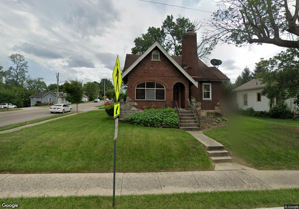
1581 Adams Rd Cincinnati, OH 45231
Estimated Value: $196,583 - $240,000
3
Beds
3
Baths
1,532
Sq Ft
$139/Sq Ft
Est. Value
About This Home
This home is located at 1581 Adams Rd, Cincinnati, OH 45231 and is currently estimated at $213,646, approximately $139 per square foot. 1581 Adams Rd is a home located in Hamilton County with nearby schools including Mt Healthy High School and Central Montessori Academy.
Ownership History
Date
Name
Owned For
Owner Type
Purchase Details
Closed on
Aug 3, 2006
Sold by
Jawwaad Sabrena E and Jawwaad Samee N
Bought by
Gaston Dawnisha
Current Estimated Value
Home Financials for this Owner
Home Financials are based on the most recent Mortgage that was taken out on this home.
Original Mortgage
$124,200
Outstanding Balance
$84,477
Interest Rate
9.79%
Mortgage Type
Unknown
Estimated Equity
$129,169
Purchase Details
Closed on
Aug 16, 2002
Sold by
Hall Alon W
Bought by
Jawwaad Samee N and Jawwaad Sabrena E
Home Financials for this Owner
Home Financials are based on the most recent Mortgage that was taken out on this home.
Original Mortgage
$90,000
Interest Rate
7.87%
Create a Home Valuation Report for This Property
The Home Valuation Report is an in-depth analysis detailing your home's value as well as a comparison with similar homes in the area
Home Values in the Area
Average Home Value in this Area
Purchase History
| Date | Buyer | Sale Price | Title Company |
|---|---|---|---|
| Gaston Dawnisha | $138,000 | Suburban Land Title Llc | |
| Jawwaad Samee N | $113,000 | -- |
Source: Public Records
Mortgage History
| Date | Status | Borrower | Loan Amount |
|---|---|---|---|
| Open | Gaston Dawnisha | $124,200 | |
| Previous Owner | Jawwaad Samee N | $90,000 | |
| Closed | Jawwaad Samee N | $22,500 |
Source: Public Records
Tax History
| Year | Tax Paid | Tax Assessment Tax Assessment Total Assessment is a certain percentage of the fair market value that is determined by local assessors to be the total taxable value of land and additions on the property. | Land | Improvement |
|---|---|---|---|---|
| 2025 | $2,443 | $46,606 | $7,455 | $39,151 |
| 2023 | $2,451 | $46,606 | $7,455 | $39,151 |
| 2022 | $2,412 | $32,845 | $6,206 | $26,639 |
| 2021 | $2,355 | $32,845 | $6,206 | $26,639 |
| 2020 | $2,416 | $32,845 | $6,206 | $26,639 |
| 2019 | $2,027 | $29,065 | $5,492 | $23,573 |
| 2018 | $2,040 | $29,065 | $5,492 | $23,573 |
| 2017 | $1,926 | $29,065 | $5,492 | $23,573 |
| 2016 | $1,794 | $26,737 | $6,405 | $20,332 |
| 2015 | $1,805 | $26,737 | $6,405 | $20,332 |
| 2014 | $2,023 | $26,737 | $6,405 | $20,332 |
| 2013 | $2,115 | $31,829 | $7,623 | $24,206 |
Source: Public Records
Map
Nearby Homes
- 7718 Hamilton Ave
- 7832 Lincoln Ave
- 1545 Mcmakin Ave
- 1457 Adams Rd
- 7918 Southampton Ct
- 7849 Seward Ave
- 7508 Elizabeth St
- 1579 Meredith Dr
- 1559 Meredith Dr
- 1461 Kinney Ave
- 7404 Joseph St
- 1378 Adams Rd
- 1478 Bonneville Ln
- 1556 Meredith Dr
- 1500 Madison Ave
- 1405 Meredith Dr
- 7324 Maple Ave
- 1965 Stevens Ave
- 1980 Stevens Ave
- 1481 Saint Clair Ave
Your Personal Tour Guide
Ask me questions while you tour the home.