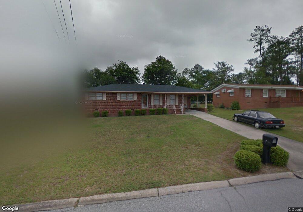
1581 Berkshire Dr Macon, GA 31206
Estimated Value: $108,084 - $125,000
3
Beds
2
Baths
1,319
Sq Ft
$90/Sq Ft
Est. Value
About This Home
This home is located at 1581 Berkshire Dr, Macon, GA 31206 and is currently estimated at $118,521, approximately $89 per square foot. 1581 Berkshire Dr is a home located in Bibb County with nearby schools including Hartley Elementary School, Southwest High School, and Cirrus Charter Academy.
Ownership History
Date
Name
Owned For
Owner Type
Purchase Details
Closed on
Apr 25, 2005
Sold by
Goolsby Hazel M and Goolsby Cherlynn L
Bought by
Goolsby Hazel M
Current Estimated Value
Home Financials for this Owner
Home Financials are based on the most recent Mortgage that was taken out on this home.
Original Mortgage
$10,916
Outstanding Balance
$5,633
Interest Rate
5.88%
Mortgage Type
Unknown
Estimated Equity
$112,888
Purchase Details
Closed on
May 5, 2003
Create a Home Valuation Report for This Property
The Home Valuation Report is an in-depth analysis detailing your home's value as well as a comparison with similar homes in the area
Home Values in the Area
Average Home Value in this Area
Purchase History
| Date | Buyer | Sale Price | Title Company |
|---|---|---|---|
| Goolsby Hazel M | -- | None Avilebel | |
| -- | -- | -- |
Source: Public Records
Mortgage History
| Date | Status | Borrower | Loan Amount |
|---|---|---|---|
| Open | Goolsby Hazel M | $10,916 |
Source: Public Records
Tax History Compared to Growth
Tax History
| Year | Tax Paid | Tax Assessment Tax Assessment Total Assessment is a certain percentage of the fair market value that is determined by local assessors to be the total taxable value of land and additions on the property. | Land | Improvement |
|---|---|---|---|---|
| 2025 | $496 | $34,748 | $2,880 | $31,868 |
| 2024 | $515 | $34,748 | $2,880 | $31,868 |
| 2023 | $62 | $34,748 | $2,880 | $31,868 |
| 2022 | $339 | $23,678 | $4,760 | $18,918 |
| 2021 | $373 | $23,678 | $4,760 | $18,918 |
| 2020 | $381 | $23,678 | $4,760 | $18,918 |
| 2019 | $383 | $23,678 | $4,760 | $18,918 |
| 2018 | $766 | $23,678 | $4,760 | $18,918 |
| 2017 | $356 | $23,678 | $4,760 | $18,918 |
| 2016 | $319 | $23,678 | $4,760 | $18,918 |
| 2015 | $458 | $23,678 | $4,760 | $18,918 |
| 2014 | $670 | $24,630 | $5,712 | $18,918 |
Source: Public Records
Map
Nearby Homes
- 1504 Berkshire Dr
- 1740 Downing Cir
- 3254 Markwood Dr
- 2350 Anthony Terrace
- 3339 Markwood Dr
- 3446 Tamplin Terrace
- 3445 Travis Blvd
- 2249 Lowe St
- 1664 Randall Rd
- 3158 Brownell Ave
- 3480 Travis Blvd
- 1545 Anthony Rd
- 2420 Adams Ave
- 2349 Mason St
- 1527 Hurley Cir
- 815 Edwards Ave
- 1049 Anthony Rd
- 1045 Anthony Rd
- 808 Patton Ave
- 1066 Jessamine St
- 1569 Berkshire Dr
- 1644 Westbury Dr
- 1544 Penfield Place
- 1538 Penfield Place
- 1548 Penfield Place
- 1557 Berkshire Dr
- 1574 Berkshire Dr
- 1582 Berkshire Dr
- 1562 Berkshire Dr
- 1596 Berkshire Dr
- 1530 Penfield Place
- 1537 Berkshire Dr
- 1647 Westbury Dr
- 1631 Westbury Dr
- 1606 Berkshire Dr
- 1539 Penfield Place
- 1550 Berkshire Dr
- 1588 Westbury Dr
- 1617 Westbury Dr
- 1529 Berkshire Dr