15815 S 442 Rd Locust Grove, OK 74352
Estimated Value: $287,000 - $481,444
3
Beds
2
Baths
2,000
Sq Ft
$197/Sq Ft
Est. Value
About This Home
This home is located at 15815 S 442 Rd, Locust Grove, OK 74352 and is currently estimated at $394,815, approximately $197 per square foot. 15815 S 442 Rd is a home located in Mayes County with nearby schools including Locust Grove Early Lrning Center, Locust Grove Upper Elementary School, and Locust Grove Middle School.
Ownership History
Date
Name
Owned For
Owner Type
Purchase Details
Closed on
Aug 3, 2020
Sold by
Hix Lila Amanda and Morrow Jason M
Bought by
Morrow Jason M and Morrow Lila A
Current Estimated Value
Home Financials for this Owner
Home Financials are based on the most recent Mortgage that was taken out on this home.
Original Mortgage
$151,607
Outstanding Balance
$117,041
Interest Rate
3.1%
Mortgage Type
FHA
Estimated Equity
$206,890
Purchase Details
Closed on
Aug 9, 2005
Sold by
Austin Clarence M and Austin Ruth
Bought by
Hix Michael and Hix Lila Amanda
Home Financials for this Owner
Home Financials are based on the most recent Mortgage that was taken out on this home.
Original Mortgage
$45,000
Interest Rate
9%
Mortgage Type
Purchase Money Mortgage
Create a Home Valuation Report for This Property
The Home Valuation Report is an in-depth analysis detailing your home's value as well as a comparison with similar homes in the area
Home Values in the Area
Average Home Value in this Area
Purchase History
| Date | Buyer | Sale Price | Title Company |
|---|---|---|---|
| Morrow Jason M | -- | Mayes County Abstract Co | |
| Hix Michael | $30,000 | None Available |
Source: Public Records
Mortgage History
| Date | Status | Borrower | Loan Amount |
|---|---|---|---|
| Open | Morrow Jason M | $151,607 | |
| Closed | Hix Lila A | $150,500 | |
| Closed | Hix Michael | $45,000 |
Source: Public Records
Tax History Compared to Growth
Tax History
| Year | Tax Paid | Tax Assessment Tax Assessment Total Assessment is a certain percentage of the fair market value that is determined by local assessors to be the total taxable value of land and additions on the property. | Land | Improvement |
|---|---|---|---|---|
| 2023 | $1,800 | $19,759 | $1,017 | $18,742 |
| 2022 | $1,444 | $17,008 | $687 | $16,321 |
| 2021 | $1,430 | $16,513 | $622 | $15,891 |
| 2020 | $1,406 | $16,031 | $621 | $15,410 |
| 2019 | $1,363 | $15,564 | $621 | $14,943 |
| 2018 | $1,348 | $15,112 | $622 | $14,490 |
| 2017 | $1,157 | $13,105 | $621 | $12,484 |
| 2016 | $1,094 | $12,723 | $621 | $12,102 |
| 2015 | $1,093 | $12,353 | $621 | $11,732 |
| 2014 | $1,029 | $11,688 | $621 | $11,067 |
Source: Public Records
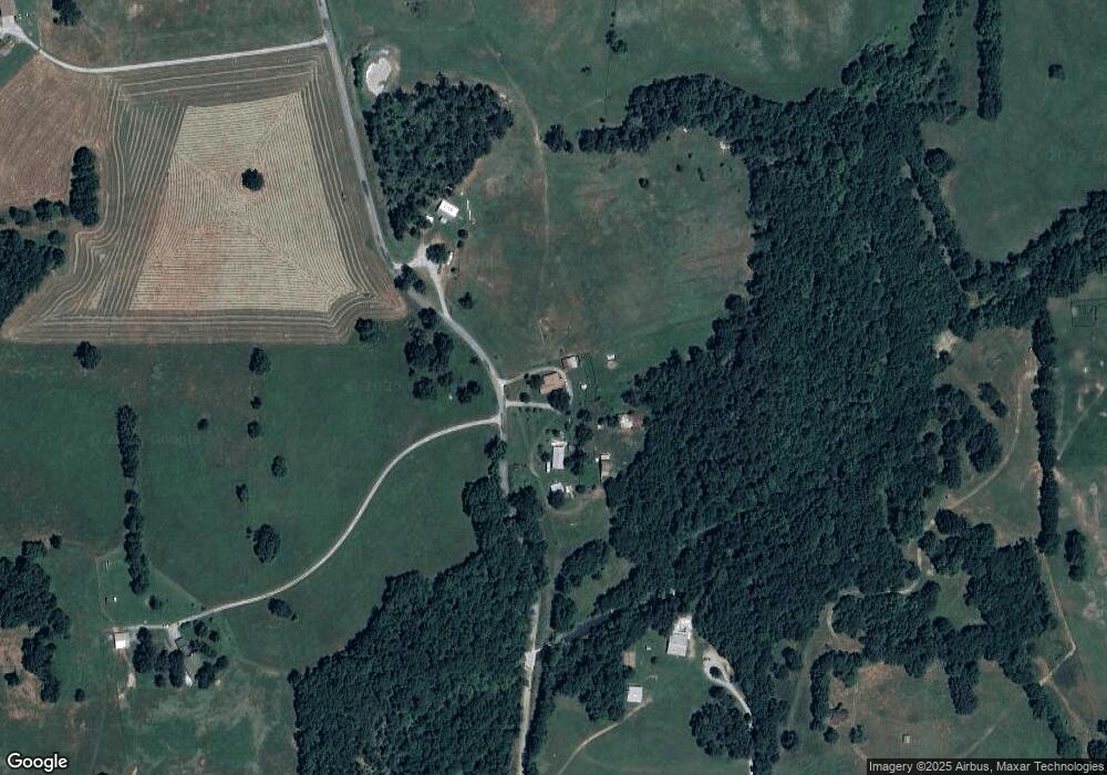
Map
Nearby Homes
- 8465 W 660 Rd
- 5580 E 610 Rd
- 10223 W 670 Rd
- 8683 N 436 Rd
- 11517 W 660 Rd
- 4100 N 430 Rd
- 9193 N Lost City Rd
- 7167 E 618 Rd
- 6019 E 620 Rd
- 5969 E 620 Rd
- 11909 W 660 Rd
- 0 Rural Route Unit 25-1842
- 0 Rural Route Unit 2536190
- 12754 S 442 Rd
- 12665 S 4429
- 14209 S 439
- 0 S 4409 Rd
- 58 Oak
- 6955 E 610 Rd
- 426 SE 647 Dr
- 15815 S 442 Rd
- 15817 S 442 Rd
- 15755 S 442 Rd
- 15824 S 442 Rd
- 9227 W 650 Rd
- 7260 N 420 Rd
- 0 442 Rd Unit 712458
- 0 442 Rd Unit 712456
- 0 442 Rd Unit 1543773
- 7266 N 420 Rd
- 9475 W 650 Rd
- 15276 S 442 Rd
- 9763 W 650 Rd
- 9683 W 650 Rd
- 15427 S 4427 Rd
- 6724 E 640 Rd
- 79 E 640 Rd
- 7440 N 420 Rd
- 9771 W 650 Rd
- 15648 S 443 Rd