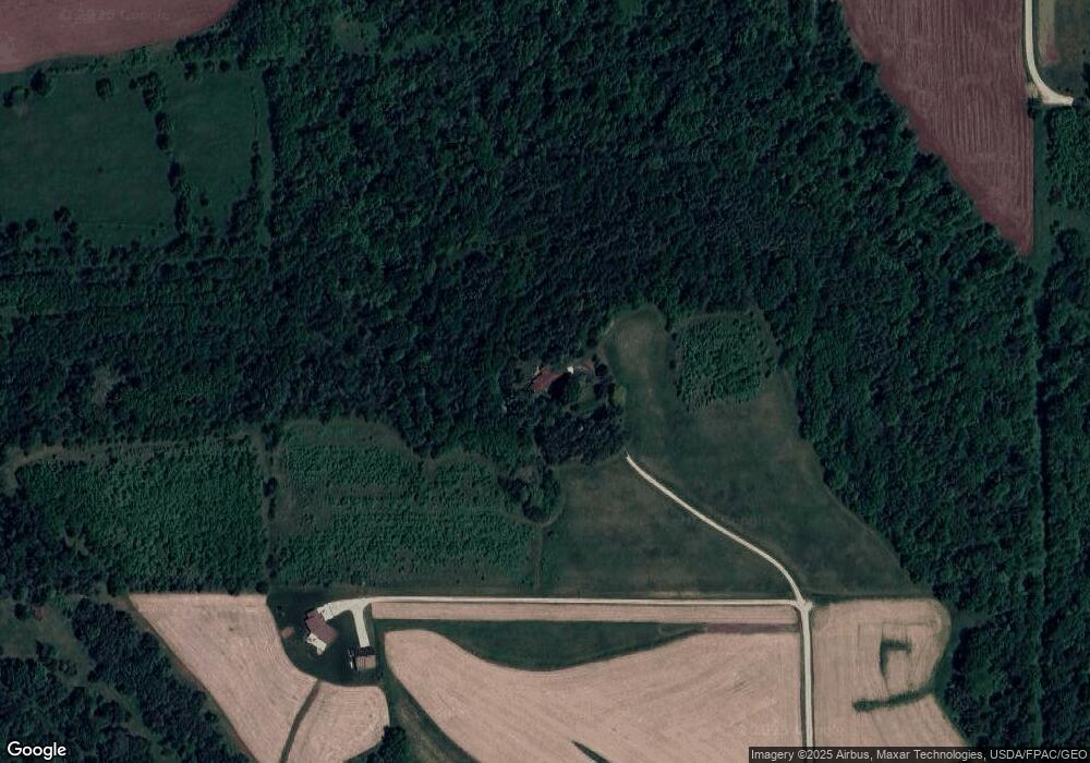
1582 Hexom Rd Waukon, IA 52172
Estimated Value: $310,000 - $532,322
3
Beds
2
Baths
2,573
Sq Ft
$154/Sq Ft
Est. Value
About This Home
This home is located at 1582 Hexom Rd, Waukon, IA 52172 and is currently estimated at $395,774, approximately $153 per square foot. 1582 Hexom Rd is a home located in Allamakee County with nearby schools including West Campus Elementary School, East Campus Elementary School, and Waukon Middle School.
Ownership History
Date
Name
Owned For
Owner Type
Purchase Details
Closed on
Jun 3, 2025
Sold by
Nelson John P and Nelson Arlene L
Bought by
Nosbisch Zachary A and Nosbisch Erica R
Current Estimated Value
Home Financials for this Owner
Home Financials are based on the most recent Mortgage that was taken out on this home.
Original Mortgage
$525,100
Outstanding Balance
$523,739
Interest Rate
6.76%
Mortgage Type
Credit Line Revolving
Estimated Equity
-$127,965
Purchase Details
Closed on
Dec 10, 2022
Sold by
Langland Richard A and Langland Rhonda
Bought by
Nelson John P and Nelson Arlene L
Create a Home Valuation Report for This Property
The Home Valuation Report is an in-depth analysis detailing your home's value as well as a comparison with similar homes in the area
Home Values in the Area
Average Home Value in this Area
Purchase History
| Date | Buyer | Sale Price | Title Company |
|---|---|---|---|
| Nosbisch Zachary A | $675,000 | None Listed On Document | |
| Nelson John P | $1,000 | -- |
Source: Public Records
Mortgage History
| Date | Status | Borrower | Loan Amount |
|---|---|---|---|
| Open | Nosbisch Zachary A | $525,100 |
Source: Public Records
Tax History Compared to Growth
Tax History
| Year | Tax Paid | Tax Assessment Tax Assessment Total Assessment is a certain percentage of the fair market value that is determined by local assessors to be the total taxable value of land and additions on the property. | Land | Improvement |
|---|---|---|---|---|
| 2025 | $3,572 | $381,900 | $39,800 | $342,100 |
| 2024 | $3,572 | $330,100 | $29,900 | $300,200 |
| 2023 | $3,466 | $330,100 | $29,900 | $300,200 |
| 2022 | $2,790 | $228,200 | $24,900 | $203,300 |
| 2021 | $2,796 | $230,900 | $27,600 | $203,300 |
| 2020 | $2,796 | $220,300 | $27,100 | $193,200 |
| 2019 | $2,630 | $218,300 | $0 | $0 |
| 2018 | $2,540 | $218,300 | $0 | $0 |
| 2017 | $2,540 | $205,100 | $0 | $0 |
| 2016 | $2,308 | $205,100 | $0 | $0 |
| 2015 | $2,308 | $197,800 | $0 | $0 |
| 2014 | $2,220 | $197,800 | $0 | $0 |
Source: Public Records
Map
Nearby Homes
- 2972 River Rd
- 2881 Pleasant View Rd
- 430 9th St NW
- 2036 Iowa 76
- 607 W Main St
- 605 1st Ave SW
- 820 4th St NW
- 1625 Hickory Hill Rd
- 821 4th St NW
- 1634 Hickory Hill Rd
- 315 4th Ave NW
- 602 2nd St NW
- 303 5th St SW
- 103 11th Ave NW
- 103 3rd Ave SW
- Allamakee Co. Ia Parcel Id#
- 0 SW 11th Ave Unit 20222752
- 0 Parcel Id#1031376005 Unit 20211907
- 0 Parcel Id#1031351004 Unit 20211906
- 0 Parcel Id#1031376012 Unit 20211905